2 m away
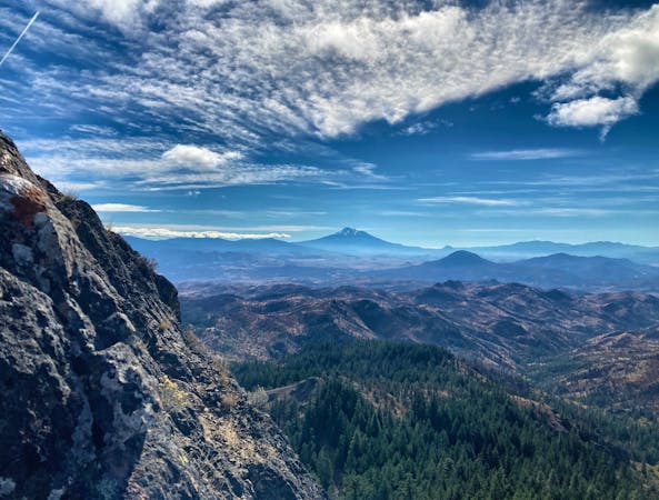
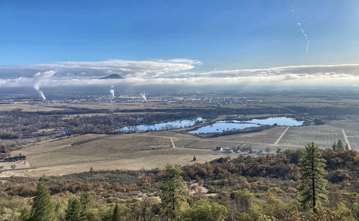
Bandersnatch Figure-8
A beautiful figure-8 hiking route.
Moderate Hiking
- Distance
- 5.9 km
- Ascent
- 260 m
- Descent
- 260 m
A popular hike high into the Ashland Watershed.
Hiking Moderate

If Lithia Park can't quite satisfy your hiking desires, continue heading uphill into the Ashland Watershed on the Bandersnatch and Red Queen trails. The route mapped here begins from an upper trailhead close to Bandersnatch, but if you want to hike from downtown Ashland, you can use the trail to Lithia Reservoir to reach the beginning of Bandersnatch.
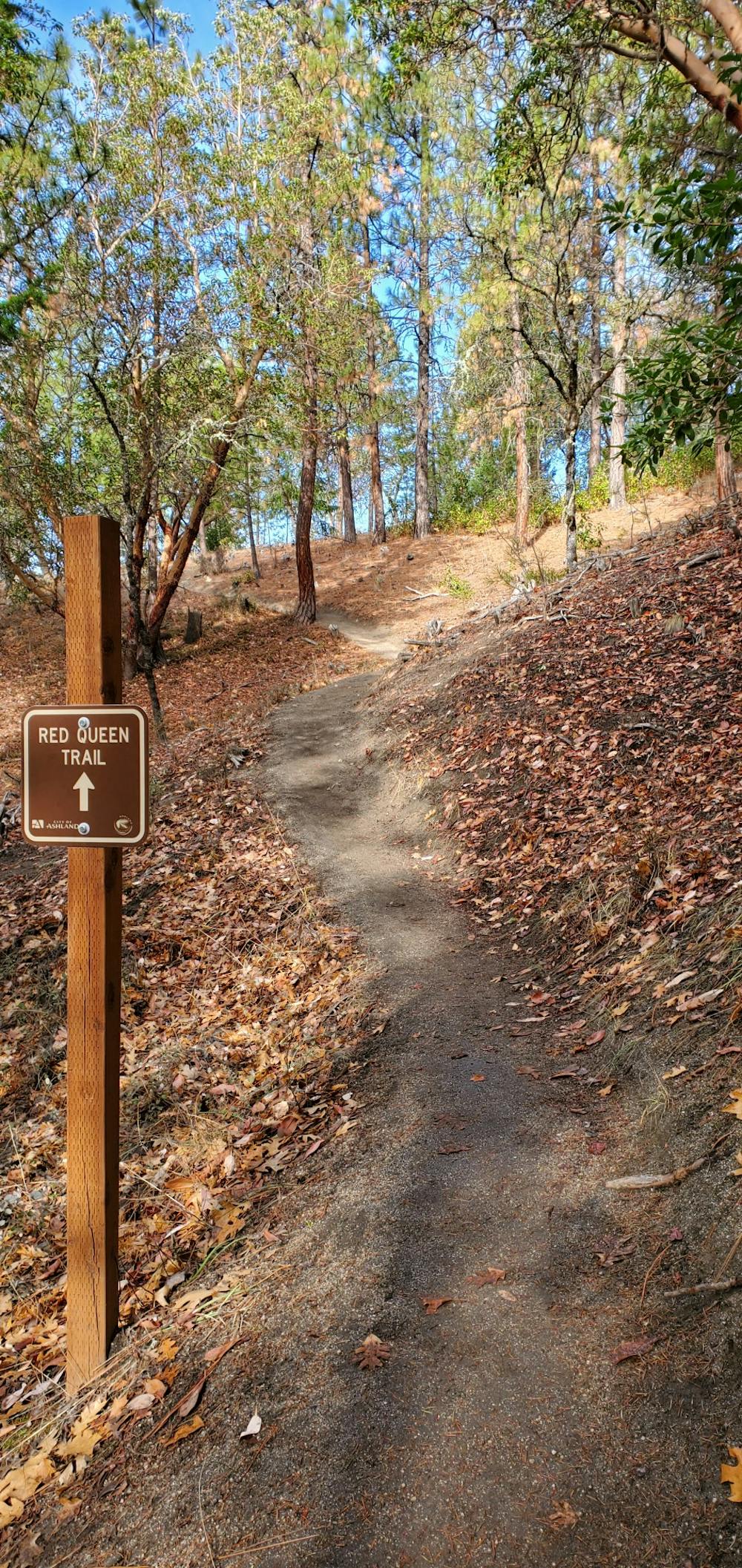
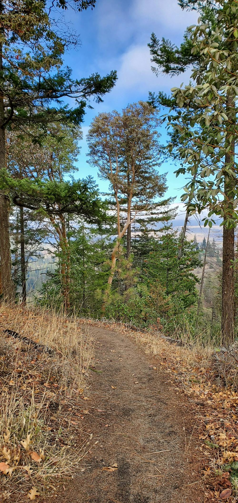
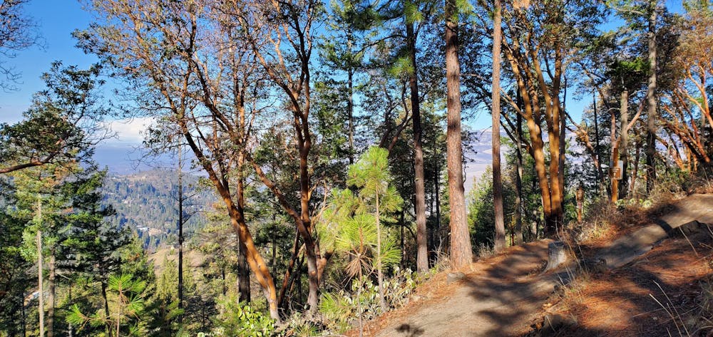
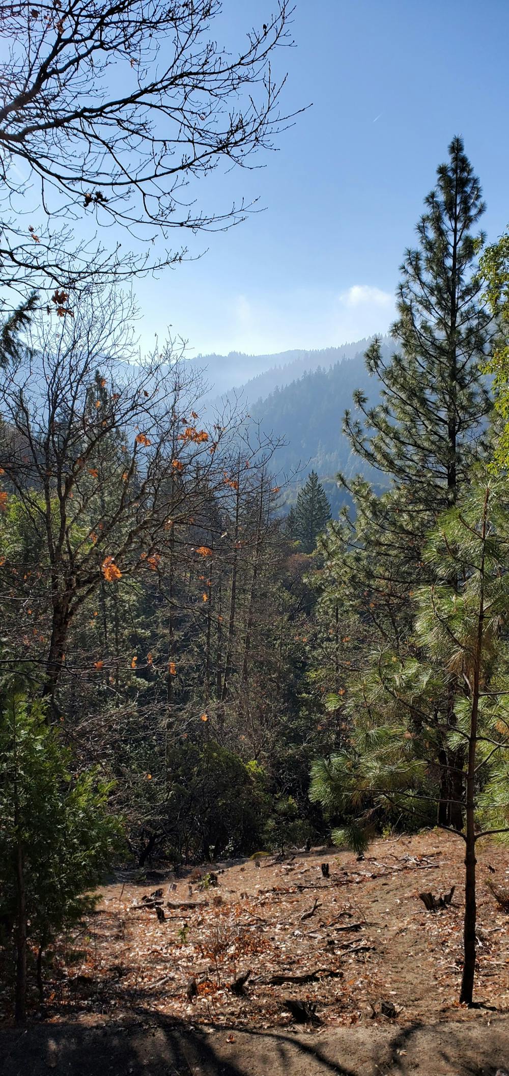
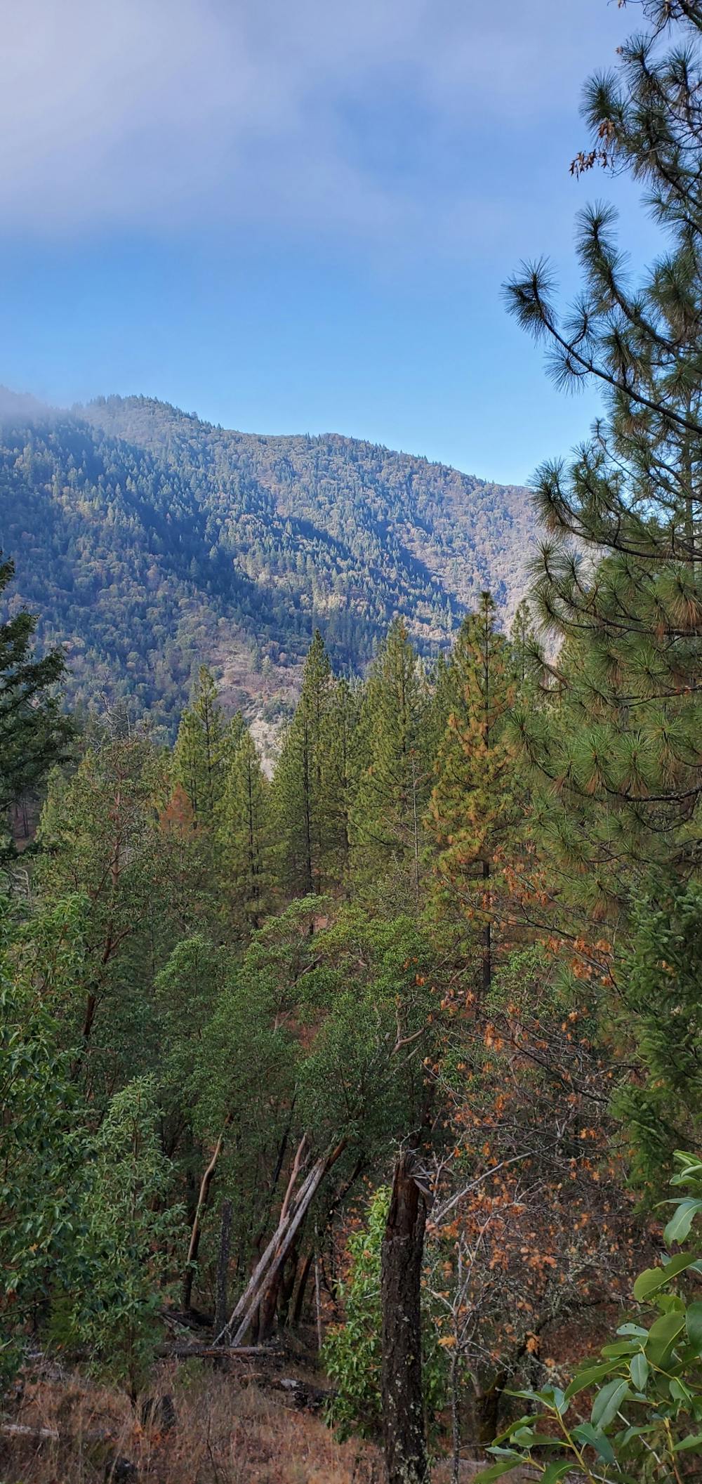
Bandersnatch combined with Red Queen creates a popular out-and-back hike beginning on the outskirts of Ashland and climbing high into the hills. You can even climb higher and deeper into the mountains on additional trails, but this straightforward out-and-back is a great place to start.
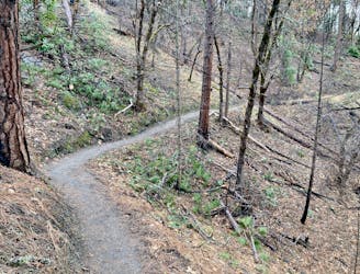
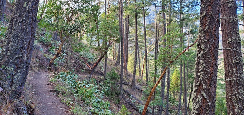
Many of the original trails in the Ashland Watershed were pioneered by mountain bikers, but the speed of downhill bikes posed a problem for multi-use trails. So, trails such as Bandersnatch and Red Queen were built in recent years to create hiker and equestrian-only routes through this trail system. These well-built and well-maintained trails have become exceedingly popular, and you're almost guaranteed to encounter other hikers on any day of the week.
While the climb up the mountain is steep and arduous, switchbacking up a steep side slope, the trail tread itself is smooth and non-technical, which accounts for the "moderate" FATMAP rating. While you might have to step across a few roots or rocks, most of the trail is a smooth decomposed granite surface. In the middle of the hot and dry Southern Oregon summer, this surface can get a little slippery, but it still doesn't pose a significant challenge for most hikers.
The beauty of not having to deal with high-speed bicycle traffic attracts many hikers to these trails, but do note that other trails in the Ashland Watershed are designated as mountain bike only, with no foot travel allowed. Be sure to read the signs and stay on the hiking-legal trails.
Sources: https://www.oregonhiking.com/oregon-adventures/100-hikes-in-southern-oregon/hikes-in-the-eastern-siskiyous/bandersnatch-trail https://www.ashlandtrails.org/red-queen/
Moderate
Hiking along trails with some uneven terrain and small hills. Small rocks and roots may be present.

The path is on completely flat land and potential injury is limited to falling over.

Away from help but easily accessed.
2 m away
A beautiful figure-8 hiking route.
Moderate Hiking
1.3 km away
An easy out-and-back hike to a beautiful reservoir.
Easy Hiking
1.5 km away
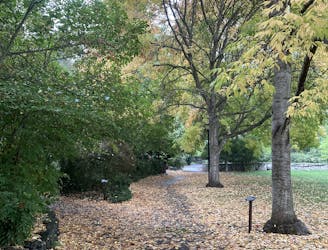
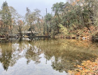
An easy loop walk with gorgeous fall colors!
Easy Hiking

52 routes · Mountain Biking · Freeride Skiing · Gravel Biking · Hiking · Road Biking
7 routes · Hiking
11 routes · Hiking