249 m away
Lithia Reservoir
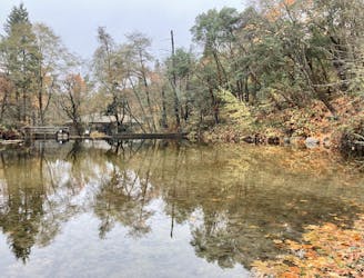
An easy out-and-back hike to a beautiful reservoir.
Easy Hiking
- Distance
- 3.9 km
- Ascent
- 97 m
- Descent
- 97 m
An easy loop walk with gorgeous fall colors!
Hiking Easy

Accessible directly from downtown, Lithia Park is Ashland's "crown jewel."
"Lithia is a 100-acre vista of emerald lawns, tennis/pickleball courts, a sand-pit volleyball court, picnic areas, colorful landscaping, and playground equipment," according to Ashland.Or.Us. But most importantly, it's filled with miles and miles of hiking trails!
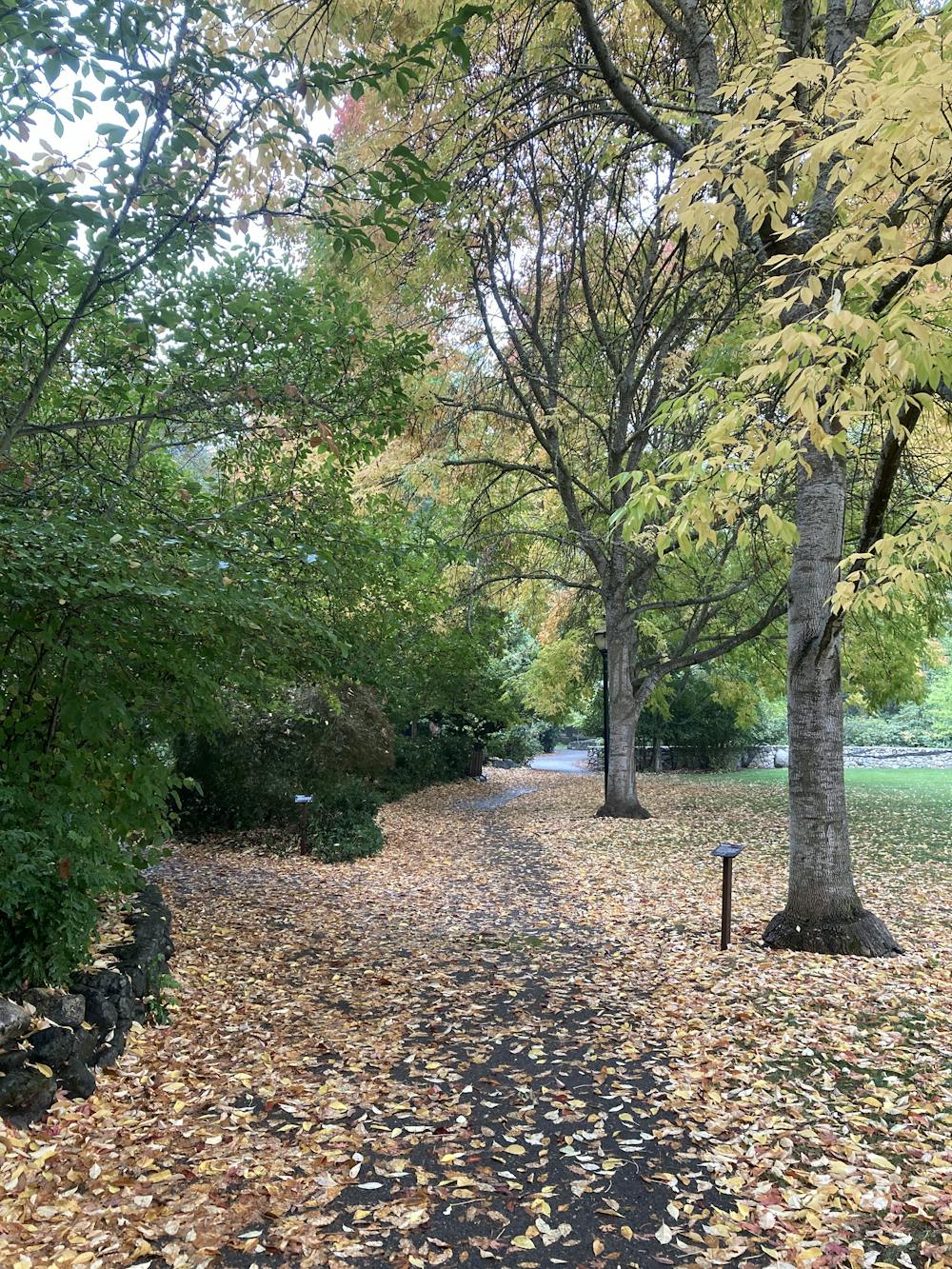
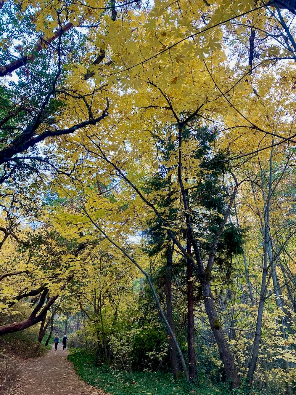
The loop mapped here outlines a basic walk through the lower reaches of Lithia Park. This two-mile loop follows a mellow mixture of paved paths, gravel paths, and dirt trails. The hike is completely non-technical and suitable for anyone and everyone. Most sections of the wide path are even handicap-accessible.
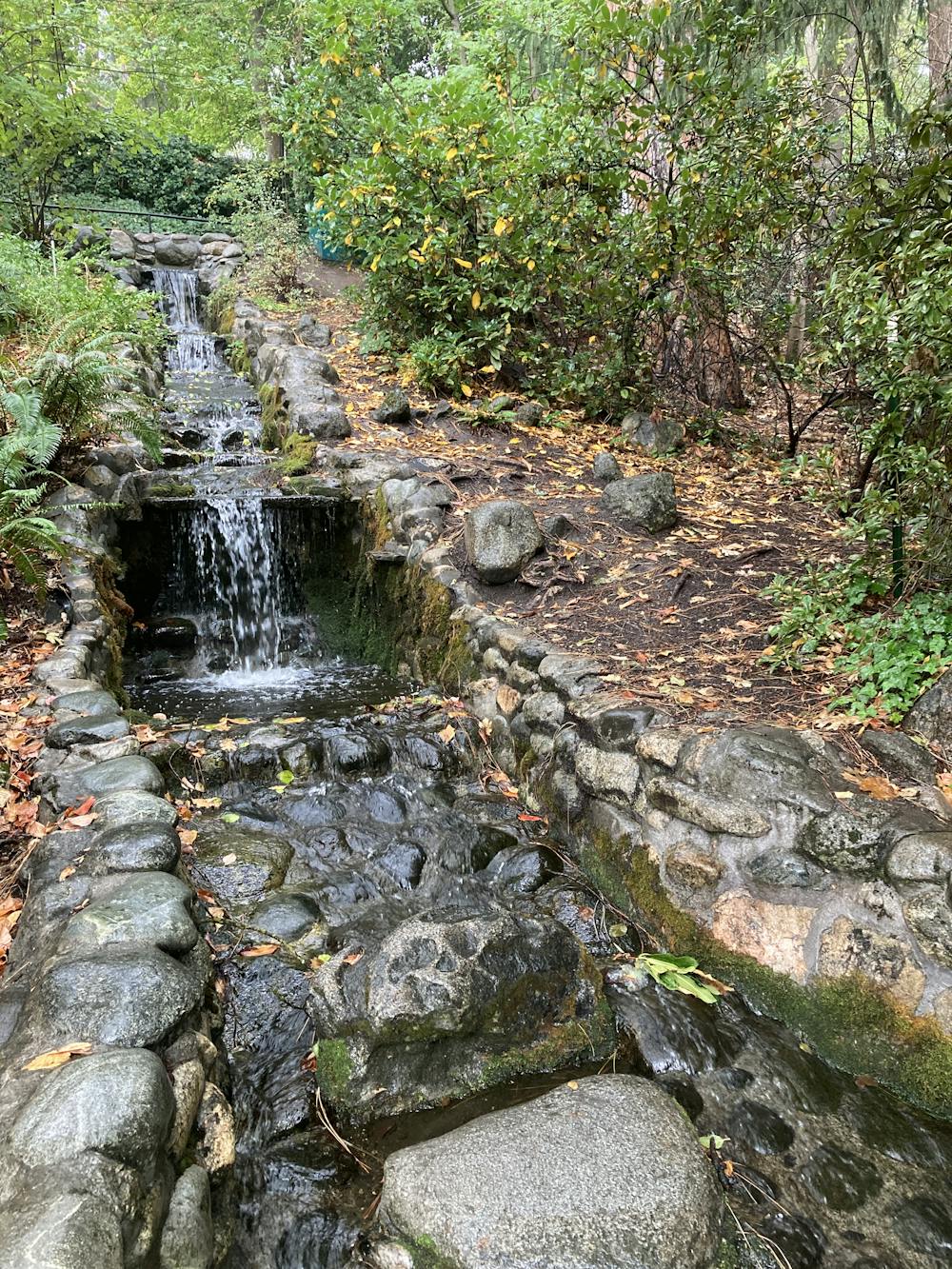
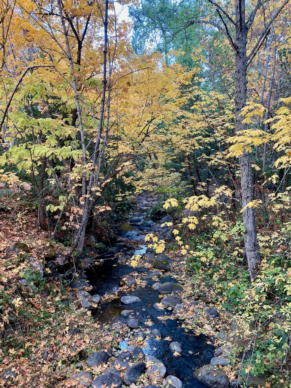
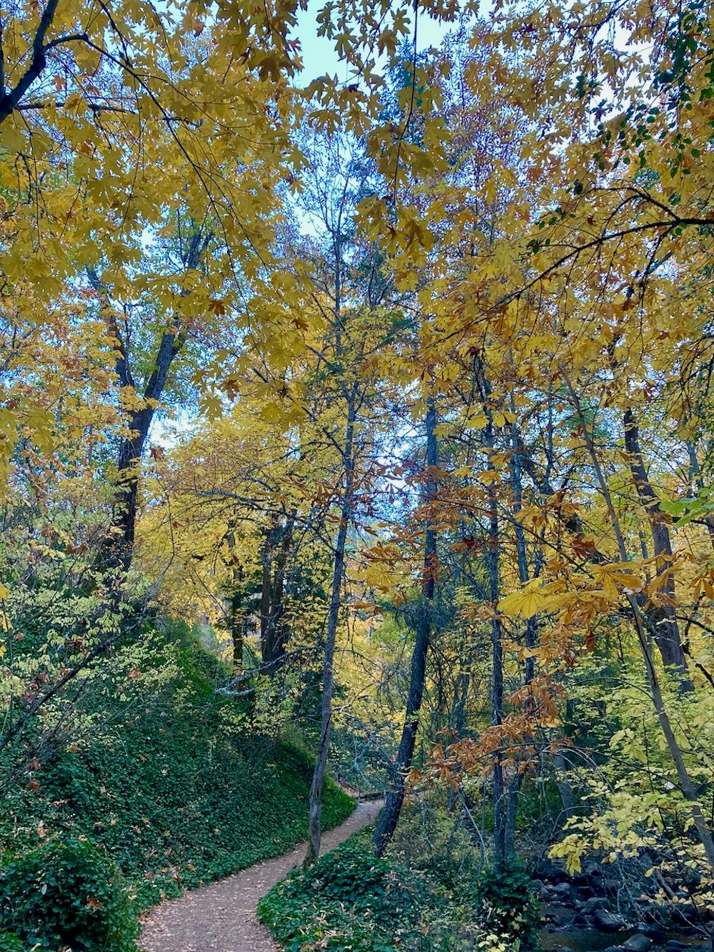
Despite the incredible ease of access, this loop serves up gorgeous scenery in an idyllic forest. Ashland Creek flowing through the park provides a melodic backdrop of running water and picturesque scenery. In a few places, water has been diverted to form small ponds, which create a habitat for ducks, geese, and other animals.
The forest in Lithia is comprised primarily of deciduous trees, which turn beautiful colors in the fall. The diversity of the trees in Lithia is dramatically higher than the natural forests surrounding Ashland. You'll observe all kinds of trees, from maples to oaks, aspens, and more. Consequently, Lithia is especially popular in the fall, providing one of the best places to enjoy fall colors in all of Southern Oregon.
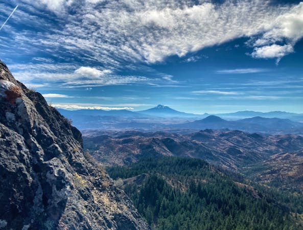
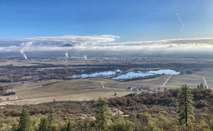
The short loop mapped here can be extended significantly if you so desire. Look for the separate route which extends to the reservoir, and from the reservoir, you can hike high into the mountains on longer trails in the Ashland watershed!
One final note: there are quite a few restrictions in Lithia Park. Most notably, dogs are not allowed on any trails here.
Easy
Walking along a well-kept trail that’s mostly flat. No obstacles are present.

The path is on completely flat land and potential injury is limited to falling over.
Close to help in case of emergency.
249 m away
An easy out-and-back hike to a beautiful reservoir.
Easy Hiking
1.5 km away
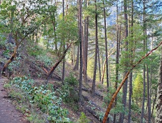
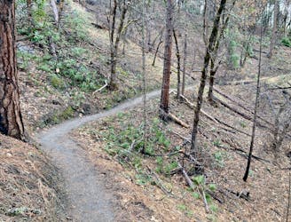
A popular hike high into the Ashland Watershed.
Moderate Hiking
1.5 km away
A beautiful figure-8 hiking route.
Moderate Hiking

52 routes · Mountain Biking · Freeride Skiing · Gravel Biking · Hiking · Road Biking
7 routes · Hiking
11 routes · Hiking