6.6 km away
Kent's -> Phil's Short Loop
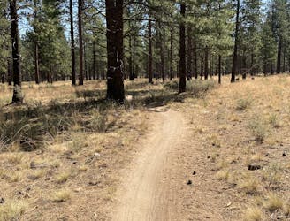
Hike a classic loop in the popular Phil's Trail Network.
Easy Hiking
- Distance
- 8.9 km
- Ascent
- 120 m
- Descent
- 120 m
Scenic hike along the Deschutes River.
Hiking Easy

The Deschutes River Trail in its entirety stretches over 13 miles one-way along the banks of the river. This multi-use trail can easily be broken into shorter segments for a delightful, easy ride, hike, or run. The short out-and-back route mapped here is envisioned as an easy hike measuring a mere 4 miles, but it can easily be extended.
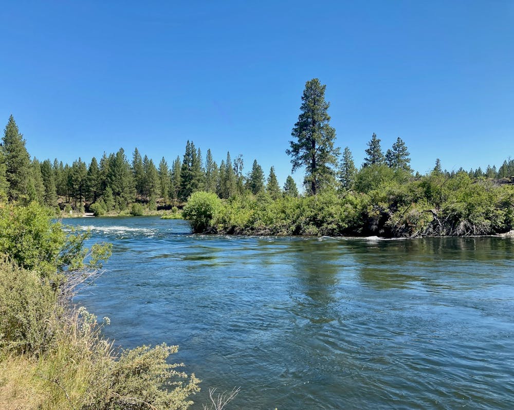
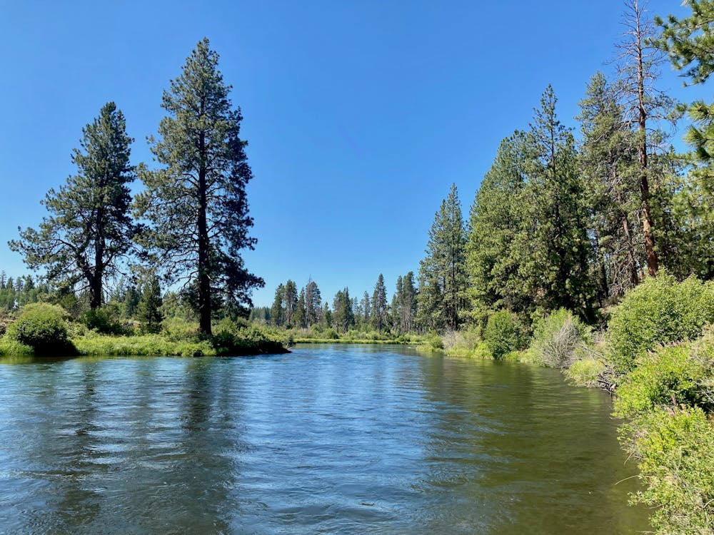
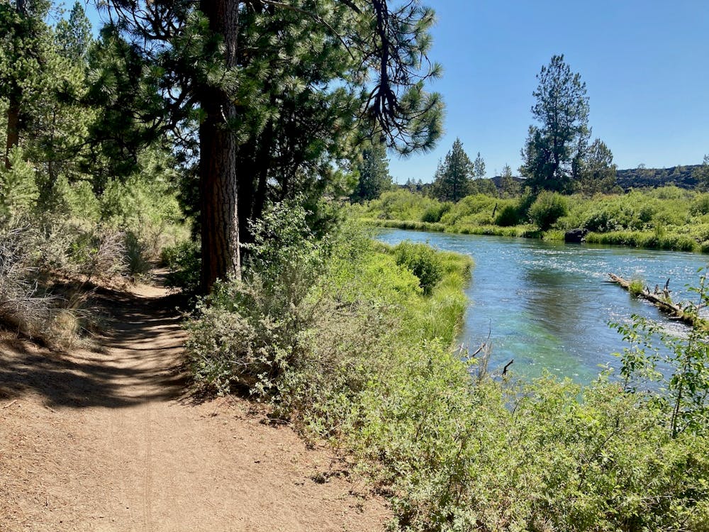
The singletrack tread along the Deschutes River Trail is largely smooth and flat, making for an accessible hike! With short, easy climbs and flowy singletrack, hikers and runners flock to the Deschutes River Trail.
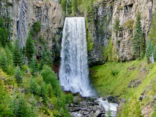
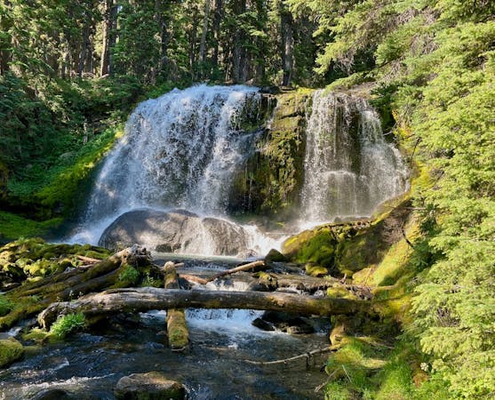
Unlike the somewhat bland scenery in the Phil’s Trail Network, when hiking along the Deschutes River Trail you’ll actually get to enjoy beautiful views of the rushing river. Several of the viewpoints along this route overlook rapids, and on most summer days, you can watch whitewater rafters try their luck on the cascades and rapids as they try to avoid the volcanic rock walls. Thanks to the nourishing water, the trees and undergrowth grow both tall and dense, providing a greener, lusher trail experience than in most other places in the region.
Due to all of these attractive features, the Deschutes River Trail is a highly-trafficked stretch of singletrack. Expect to encounter dozens of other trail users, and brace yourself for near-constant passing on the trail, even during the week.
Easy
Walking along a well-kept trail that’s mostly flat. No obstacles are present.

The trail contains some obstacles such as outcroppings and rock which could cause injury.

Close to help in case of emergency.
6.6 km away
Hike a classic loop in the popular Phil's Trail Network.
Easy Hiking
3 routes · Hiking · Trail Running
9 routes · Hiking