6 km away
Mirror Pond
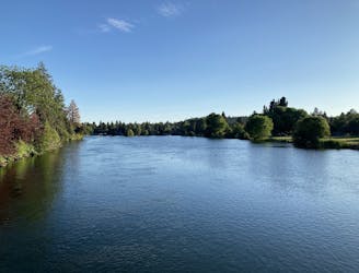
Mellow walk through Drake Park along the picturesque Mirror Pond.
Easy Hiking
- Distance
- 2.4 km
- Ascent
- 20 m
- Descent
- 19 m
Hike a classic loop in the popular Phil's Trail Network.
Hiking Easy

Kent’s to Phil’s is an iconic loop that anchors the famous Phil’s Trail Network.
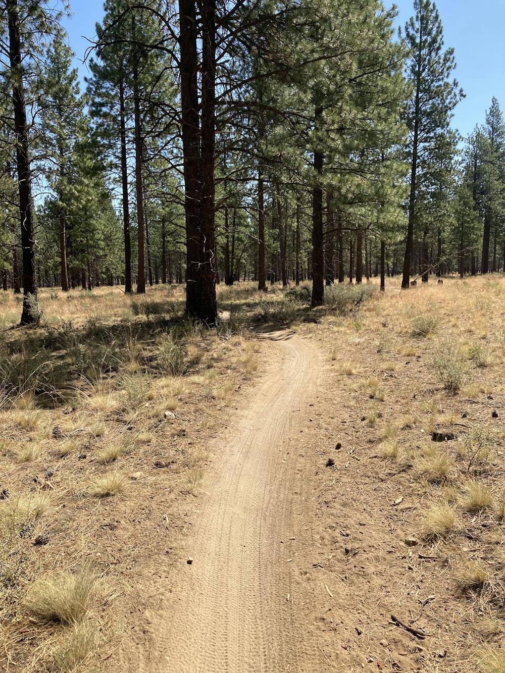
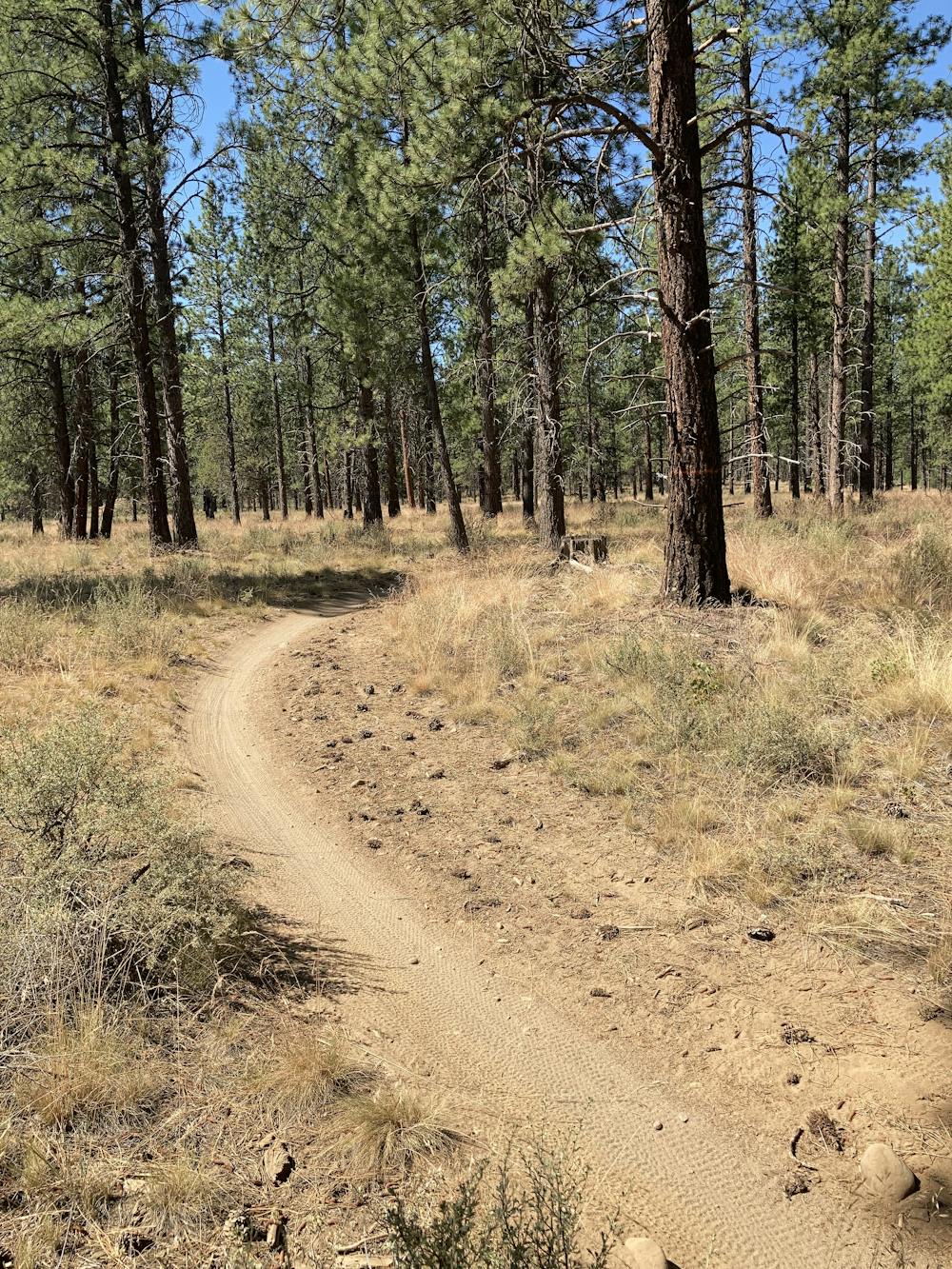
To begin this mellow hike, head up the Kent’s trail from the primary Phil’s Trailhead. Kent’s is an easy climbing trail that is still technically open for downhill traffic. With such mellow grades as you ascend the mesa, the miles and vertical feet tick by much faster than you may realize.
After a few miles of climbing, keep an eye out for the left turn onto KGB to connect to Phil’s.
Phil’s is a smooth, sandy singletrack trail that twists and turns down the mesa beneath towering ponderosa trees. The sandy track is occasionally punctuated by rocks, but the hiking is easy, allowing you to look around and enjoy the forest.
The only significant challenge on this trail is watching out for mountain bikers. The Phil’s Trail Network is ultra-popular with the two wheel crowd, and the classic Phil’s trail has been designated a one-way downhill-only trail. But if you go on a weekday, especially early in the morning or late in the evening, traffic can still be quite light, allowing you to enjoy these delightful trails even without an expensive mechanical contraption.
Easy
Walking along a well-kept trail that’s mostly flat. No obstacles are present.

The path is on completely flat land and potential injury is limited to falling over.
Close to help in case of emergency.
6 km away
Mellow walk through Drake Park along the picturesque Mirror Pond.
Easy Hiking
6.6 km away
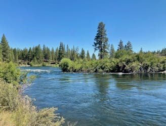
Scenic hike along the Deschutes River.
Easy Hiking
3 routes · Hiking · Trail Running
4 routes · Mountain Biking · Hiking
9 routes · Hiking
5 routes · Mountain Biking · Hiking · Stand Up Paddle