1 m away
Tumalo Falls and North Fork
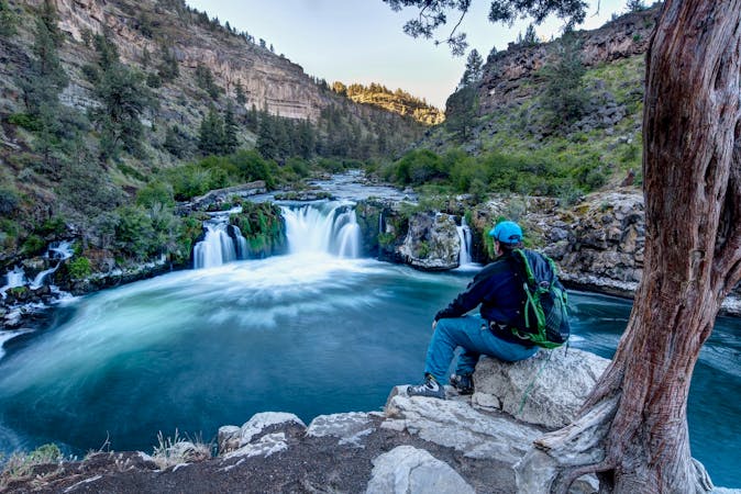
Hike past the tourist stop at Tumalo Falls for a longer adventure on one of Bend's most beautiful trails.
Moderate Hiking
- Distance
- 9.8 km
- Ascent
- 345 m
- Descent
- 345 m
Experience one of Bend's most popular—and most beautiful—tourist stops.
Hiking Easy

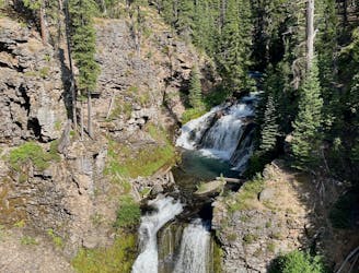
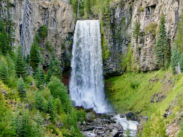
Tumalo Falls ranks among the most popular sightseeing stops near Bend, Oregon. Here, Tumalo Creek flies off a precipice, dropping 97 feet straight down to thunder on the rocks in the bottom of a canyon far, far below. Even in the heat of summer and the cold of winter, the constant flow of water provides a stunning spectacle that draws thousands of hikers and photographers to the edge of the canyon every year.
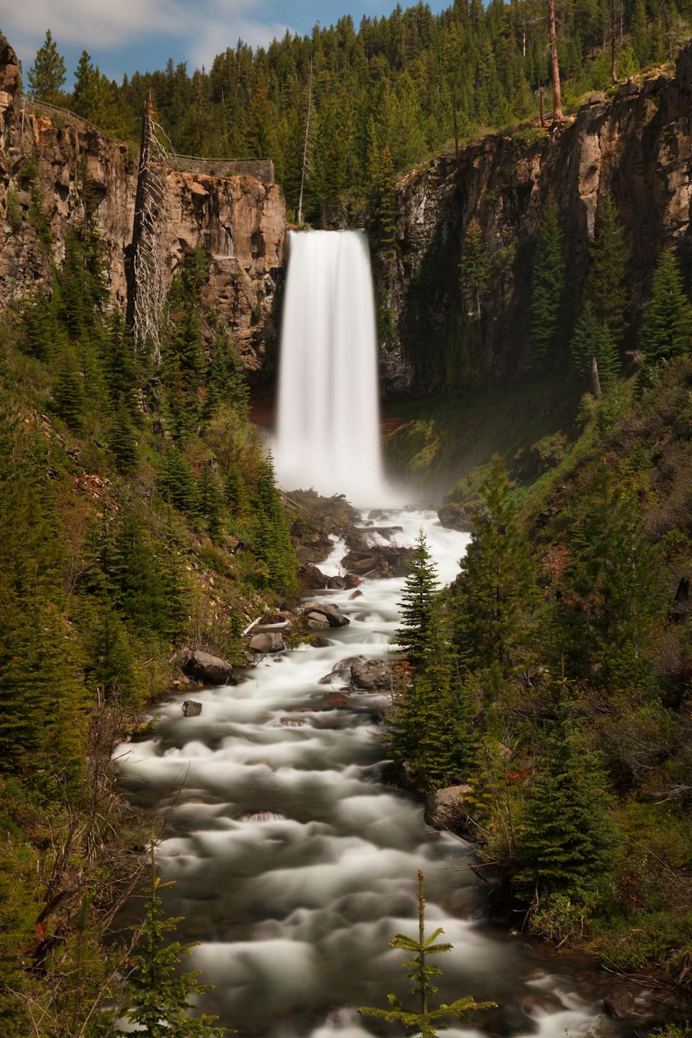
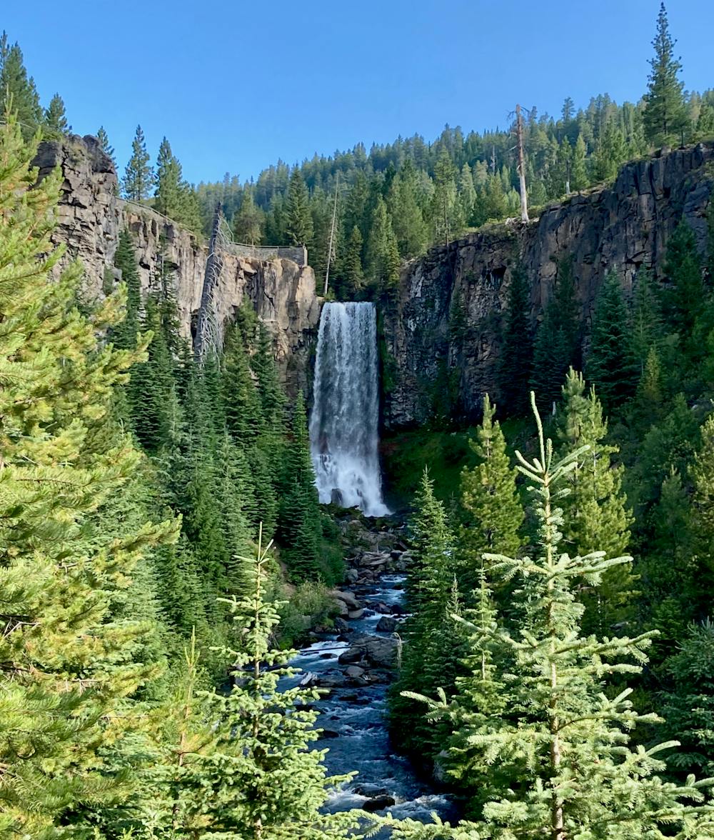
With such a stunning waterfall that’s so easily accessible, the trailhead for Tumalo Falls is constantly filled to overflowing, forcing you to park further down the road and hike more miles than are shown here. That said, the round-trip walk from the standard trailhead to the top of the falls and back down as mapped here is just a half-mile, so you should hopefully have enough energy for a little extra road walking to reach the overlooks.
If you want to leave the crowds behind and add a little more adventure into your life, consider hiking past the falls on the North Fork Trail. Read this route description for more information.
Easy
Walking along a well-kept trail that’s mostly flat. No obstacles are present.

The path is on completely flat land and potential injury is limited to falling over.
Close to help in case of emergency.
1 m away
Hike past the tourist stop at Tumalo Falls for a longer adventure on one of Bend's most beautiful trails.
Moderate Hiking
8.6 km away
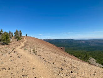
Enjoy stunning 360-degree views from the top of this quick climb.
Difficult Hiking
8.6 km away
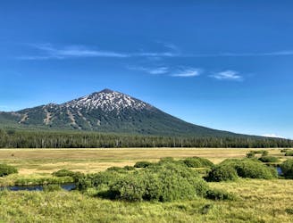
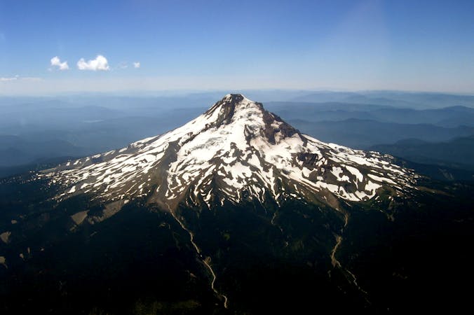
Climb to the iconic volcanic summit towering above the Cascade Lakes Highway.
Severe Hiking
3 routes · Hiking · Trail Running
4 routes · Mountain Biking · Hiking

3 routes · Alpine Climbing · Hiking
9 routes · Hiking
10 routes · Alpine Climbing · Hiking