685 m away
Tumalo Mountain
Enjoy stunning 360-degree views from the top of this quick climb.
Difficult Hiking
- Distance
- 6.5 km
- Ascent
- 435 m
- Descent
- 435 m
Climb to the iconic volcanic summit towering above the Cascade Lakes Highway.
Hiking Severe

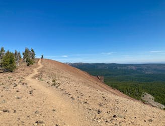
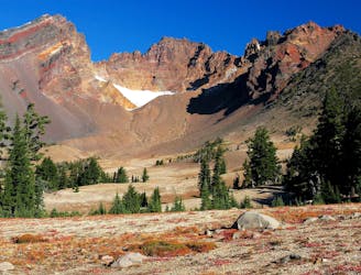
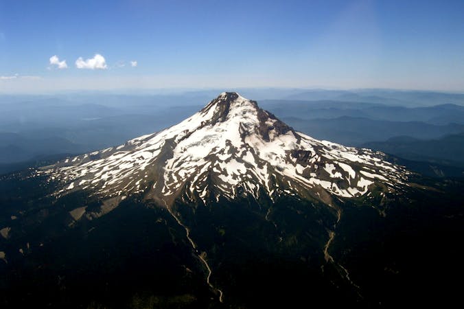
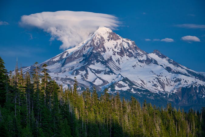
While Mount Bachelor is best known for its skiing, the lofty volcanic summit makes for an attractive peak climbing objective in the summertime. If you follow the standard Sunrise to Summit Trail, you’ll enjoy a non-technical hike on a switchbacked singletrack trail all the way to the summit of 9,065-foot Mount Bachelor
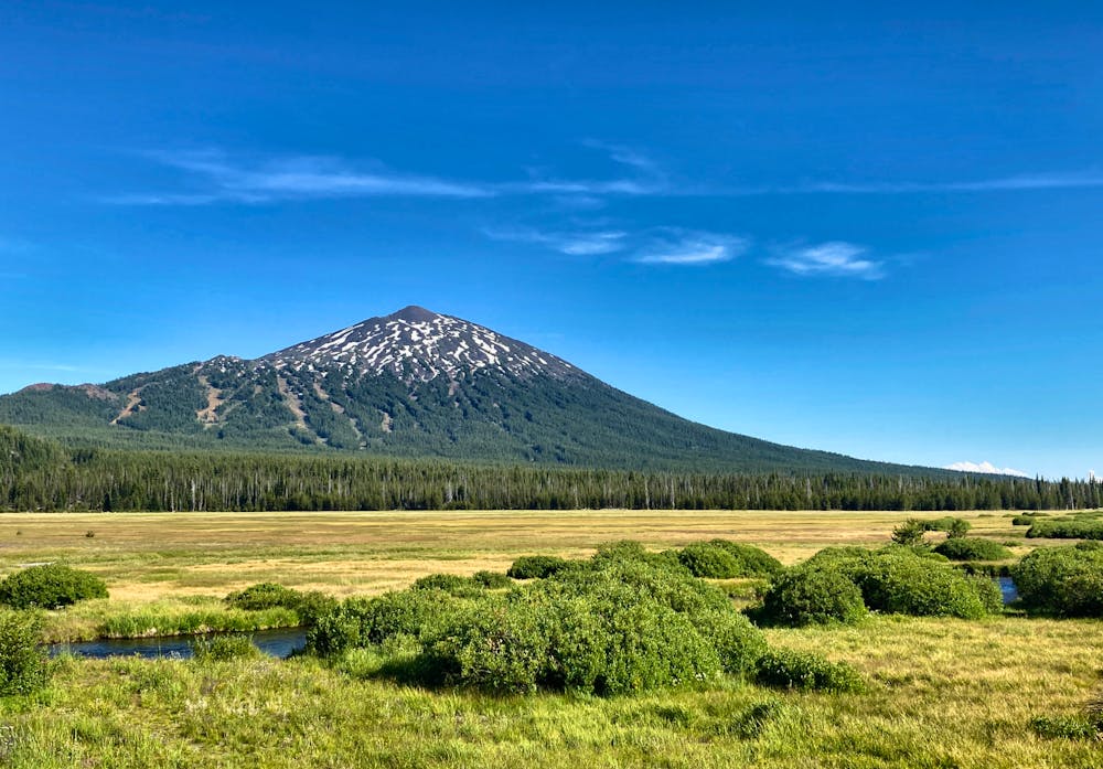
Begin the hike off the side of the Cascades Lake Highway near Sunrise Lodge. Sometimes the gate to the parking lot is open, but generally, it is closed, and you’ll have to park along the highway or at a nearby trailhead.
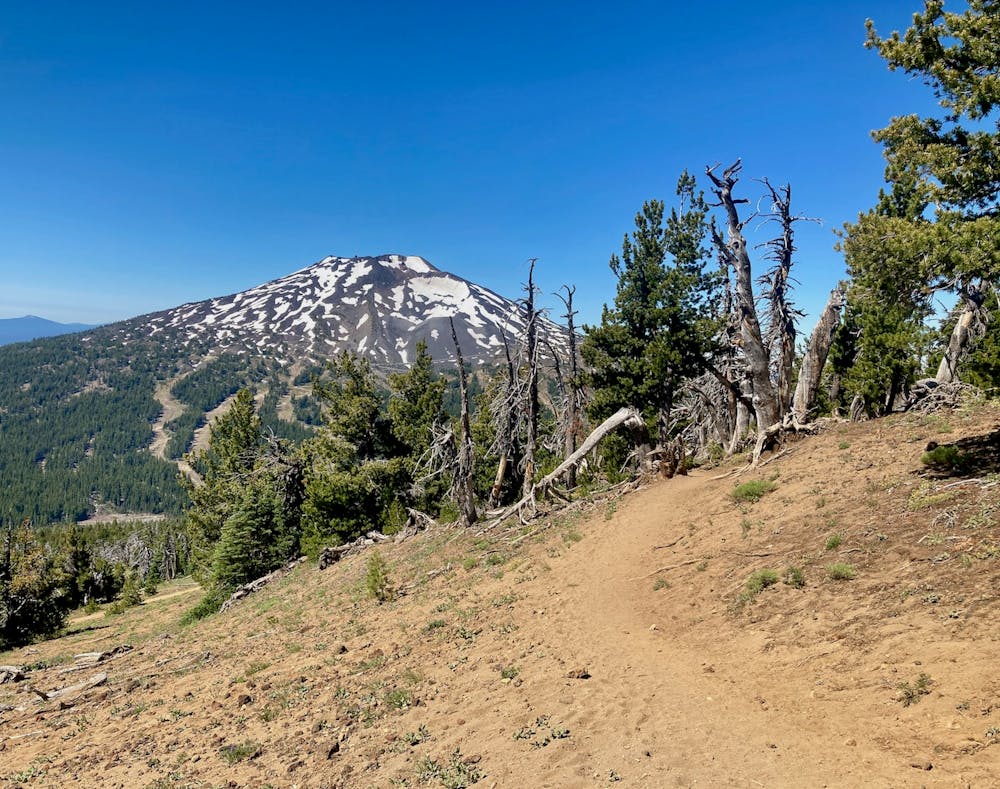
The singletrack trail climbs steadily toward the summit, switchbacking back and forth across ski slopes and through stands of trees. The further you climb, the more rock you’ll encounter, and at times you’ll have to traverse moraines of volcanic rock. The upper stretches of the mountain consist of "mostly talus, scree, and chunks of basalt” according to Jeff Hester on SoCalHiker.net.
Depending on the time of year, you may have to traverse snowfields to gain the summit. And if Bachelor had a good snow year, these snow fields could stick around for most of the summer. If over snow travel is required, take all necessary precautions, and look for rock cairns to keep you on track.
From the summit, you’ll enjoy panoramic views of the entire region, including "Broken Top, the Three Sisters, and even Mt. Jefferson beyond,” according to Rachel Davidson on TheOutbound.com. Once you’ve fully savored the view, return to the car on the same trail.
Sources: https://www.theoutbound.com/oregon/hiking/hike-mt-bachelor-sunrise-to-summit https://socalhiker.net/hiking-mount-bachelor/
Severe
Hiking challenging trails where simple scrambling, with the occasional use of the hands, is a distinct possibility. The trails are often filled with all manner of obstacles both small and large, and the hills are very steep. Obstacles and challenges are often unexpected and can be unpredictable.

The trail contains some obstacles such as outcroppings and rock which could cause injury.

In the high mountains or remote conditions, all individuals must be completely autonomous in every situation.
685 m away
Enjoy stunning 360-degree views from the top of this quick climb.
Difficult Hiking
7.3 km away
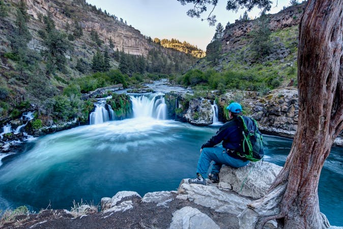
One of the most rewarding hikes near Bend, Oregon.
Moderate Hiking
7.3 km away
A ridge hike and scramble to an impressive summit in the Three Sisters Wilderness.
Extreme Hiking
8.6 km away
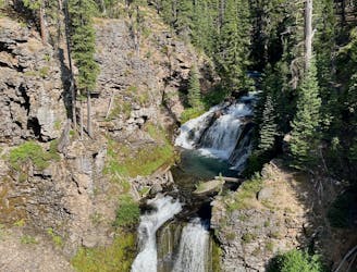
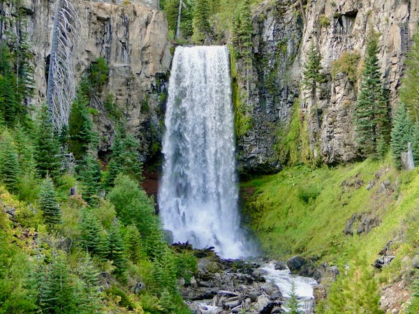
Experience one of Bend's most popular—and most beautiful—tourist stops.
Easy Hiking
8.6 km away
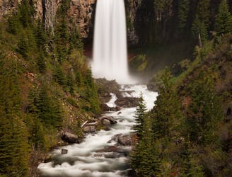
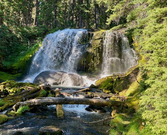
Hike past the tourist stop at Tumalo Falls for a longer adventure on one of Bend's most beautiful trails.
Moderate Hiking
9.6 km away
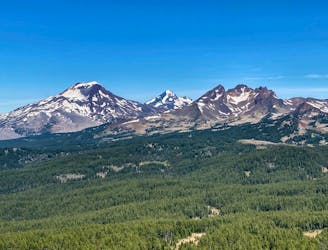
Climb the tallest of Oregon's Three Sisters, the third tallest mountain in the state.
Severe Hiking
3 routes · Hiking · Trail Running
4 routes · Mountain Biking · Hiking

3 routes · Alpine Climbing · Hiking
9 routes · Hiking
10 routes · Alpine Climbing · Hiking
5 routes · Alpine Climbing · Hiking