218 m away
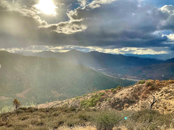
Panorama Point Loop
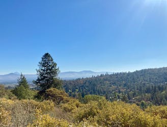
Easy in-town hike to a scenic overlook.
Easy Hiking
- Distance
- 2.8 km
- Ascent
- 80 m
- Descent
- 80 m
An easy but scenic hike along an old water flume.
Hiking Easy

The Zigler Trail is one of the most popular trails in Jacksonville's Britt Woods. This easily-accessible and mostly-flat singletrack trail begins in the heart of Britt Gardens by passing the towering sequoia tree planted by Peter Britt in 1862. Even though it's a relatively young sequoia, it still towers above the rest of the surrounding forest!
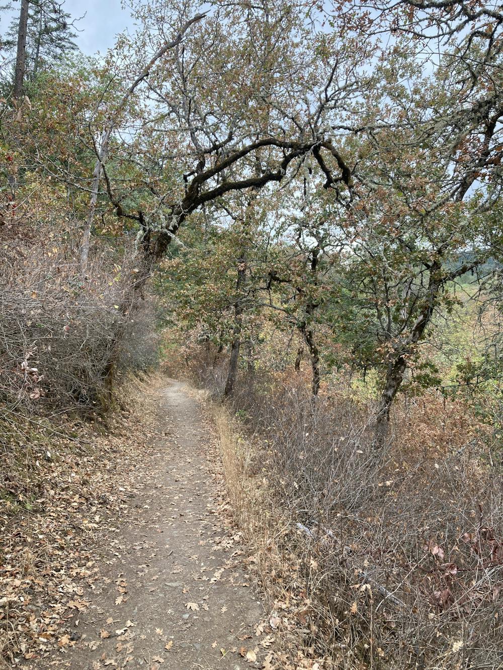
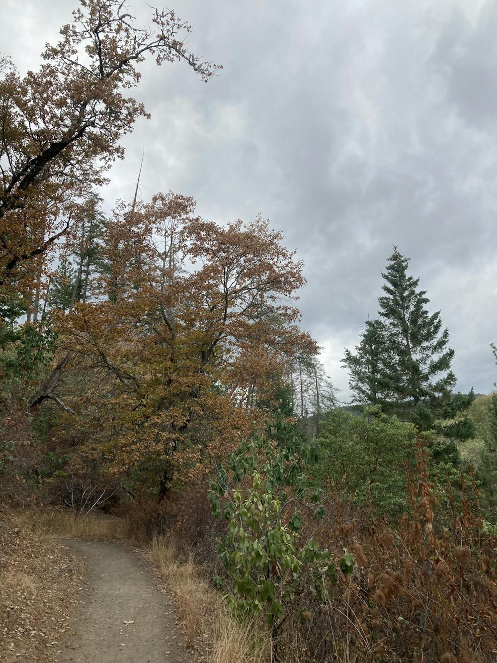
After leaving the boardwalk behind, you'll hike down a well-trod dirt path that undulates along a bench on the side of the hill. The trail roughly follows an old water flume that was originally used in the 1800s to divert water for nearby mining operations.
The surrounding forest is beautiful, but the traffic noise from the nearby highway detracts from the beauty somewhat. If you choose to climb the hillside and head further into the trail system, you'll leave the road noise behind. Regardless, this scenic hillside trail is a popular out-and-back hike due to its ease of access, ease of walking, and beauty.
Easy
Walking along a well-kept trail that’s mostly flat. No obstacles are present.

The path is on completely flat land and potential injury is limited to falling over.
Close to help in case of emergency.
218 m away
Easy in-town hike to a scenic overlook.
Easy Hiking
590 m away
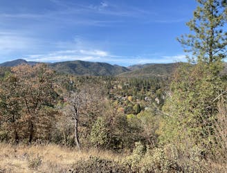
Short loop to a beautiful view over Jacksonville.
Easy Hiking
2.5 km away

Mellow hike through a lush valley
Easy Hiking
7.7 km away

Enjoy an incredible effort-to-view ratio on Applegate Ridge!
Easy Hiking
4 routes · Hiking

52 routes · Mountain Biking · Freeride Skiing · Gravel Biking · Hiking · Road Biking

11 routes · Hiking