1.8 km away
Rye Spur Figure-8 Loop
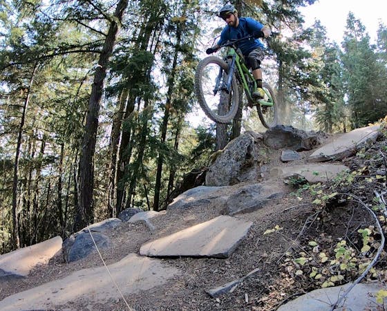
Mine some loam on a trail that time forgot.
Difficult Mountain Biking
- Distance
- 27 km
- Ascent
- 487 m
- Descent
- 487 m
A delightful backcountry mountain biking experience!
Mountain Biking Moderate

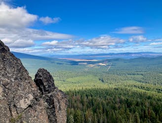
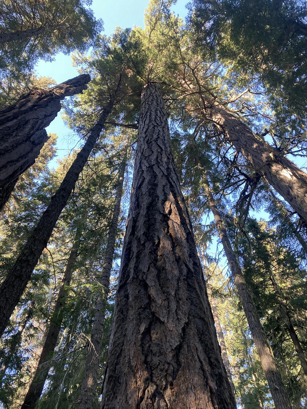
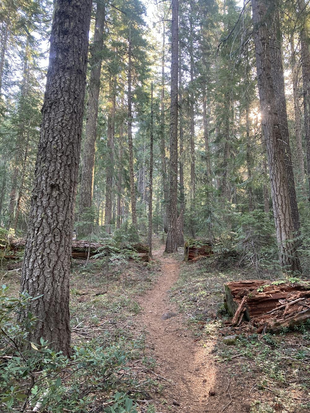
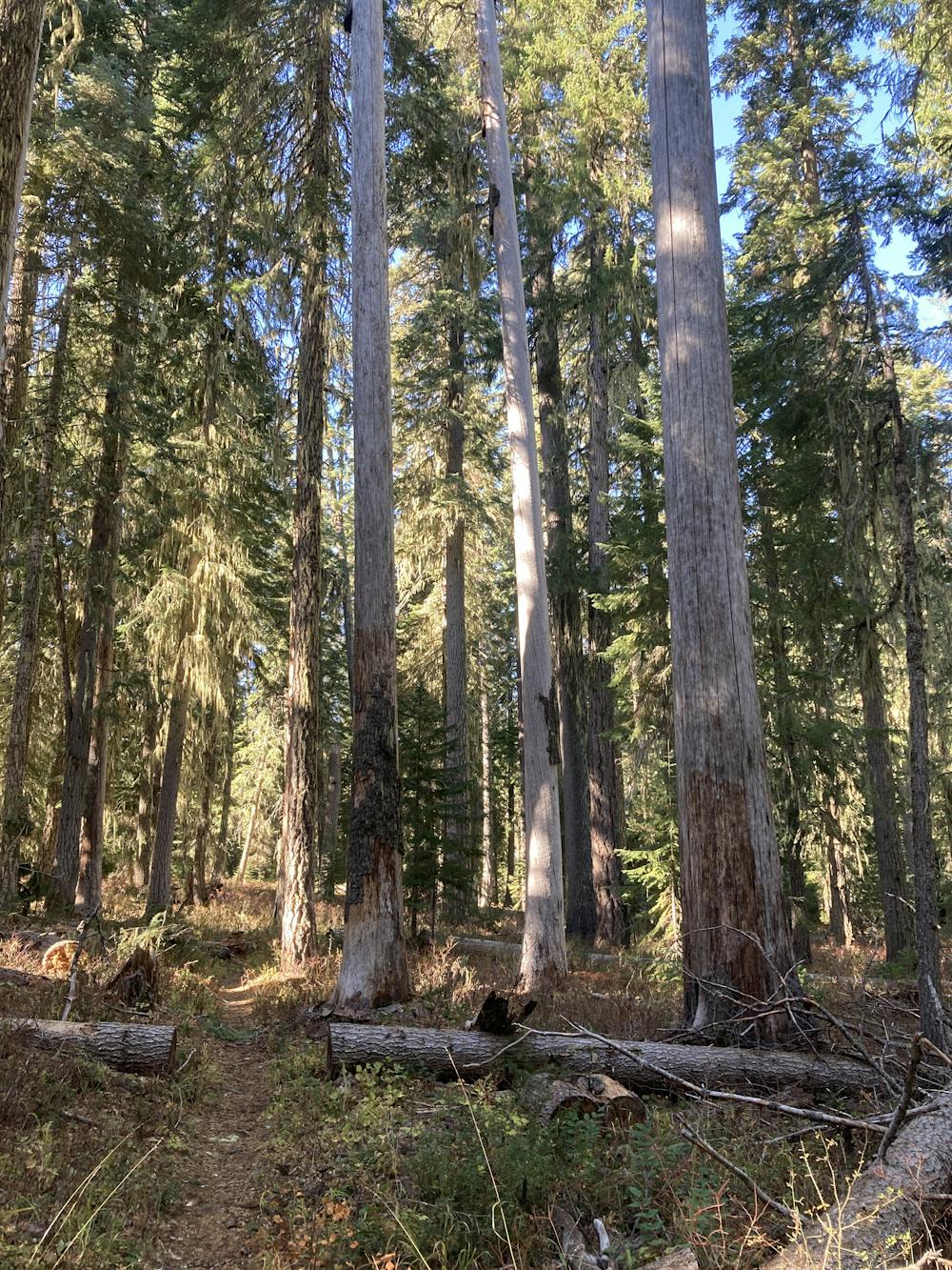
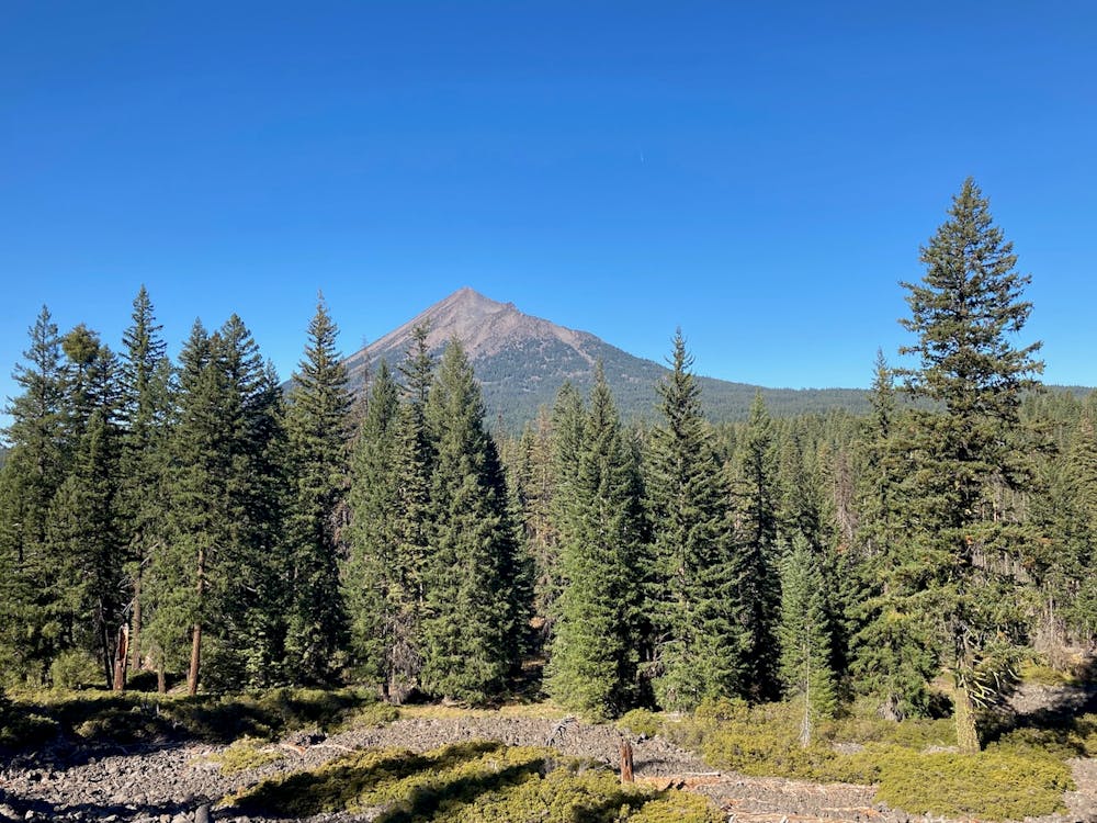
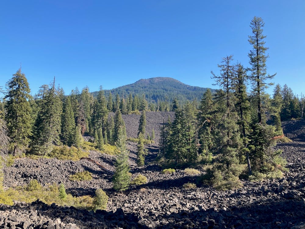
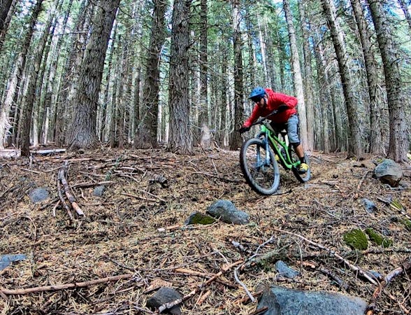
This circumnavigation of Brown Mountain provides a type of backcountry mountain biking experience that seems to be growing rarer and rare in the USA today. Immediately after leaving the trailhead, you'll find yourself completely engrossed in the deep forest of Southern Oregon, pedaling down sinuous singletrack beneath towering Douglas fir trees. You'll be able to tell from the organic detritus littering the trail that few riders pass this way, and yet a dedicated group of locals works to keep these trails open so riders like you and me can enjoy an incredible backcountry experience!
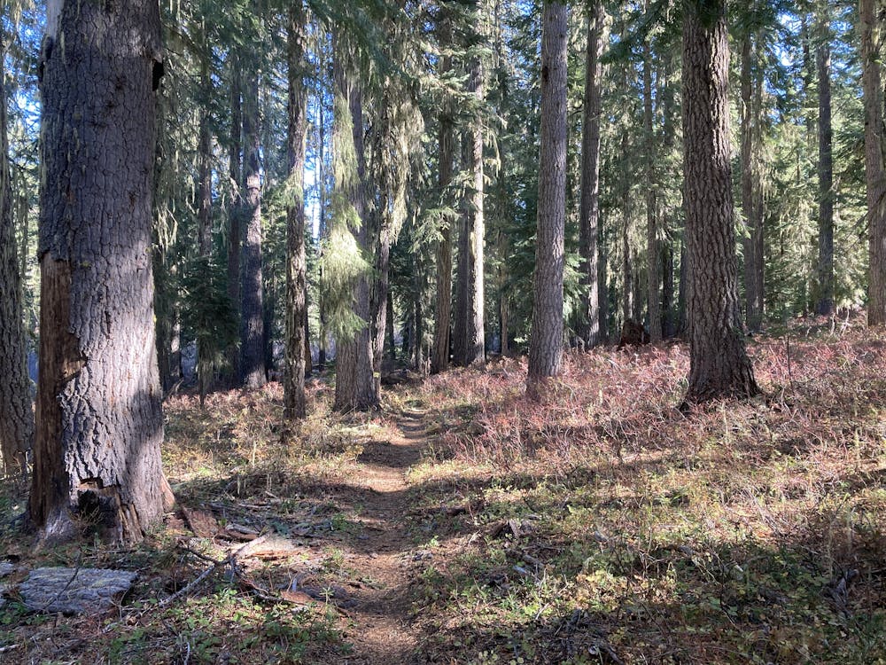
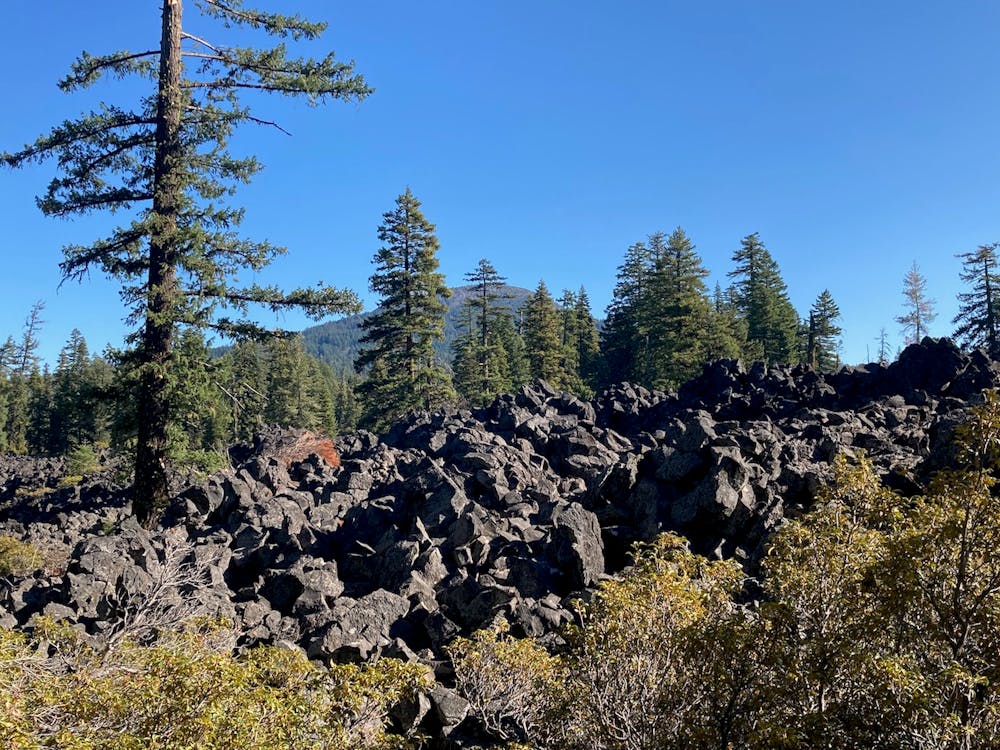
Shortly after leaving the trailhead, the route mapped here ascends the biggest climb and descends the biggest downhill of the entire 20-mile route. That said, the roughly 700-foot climb is very rideable, and the downhill, while fast, offers mellow grades and wide-open sightlines. After the initial climb and descent, the grade mellows out considerably, with rolling hills dominating the rest of the ride.
Sometimes it feels like all of Oregon's mountain bike trails go straight up a steep mountainside, and then coming flying straight back down again. Aside from destinations like Bend, cross country mountain biking seems to be a rarity in the state. So when you come across a ride like Brown Mountain, the feeling of pedaling a long ways and covering some serious ground, deep in a remote corner of the national forest, can be a very welcome change of pace.
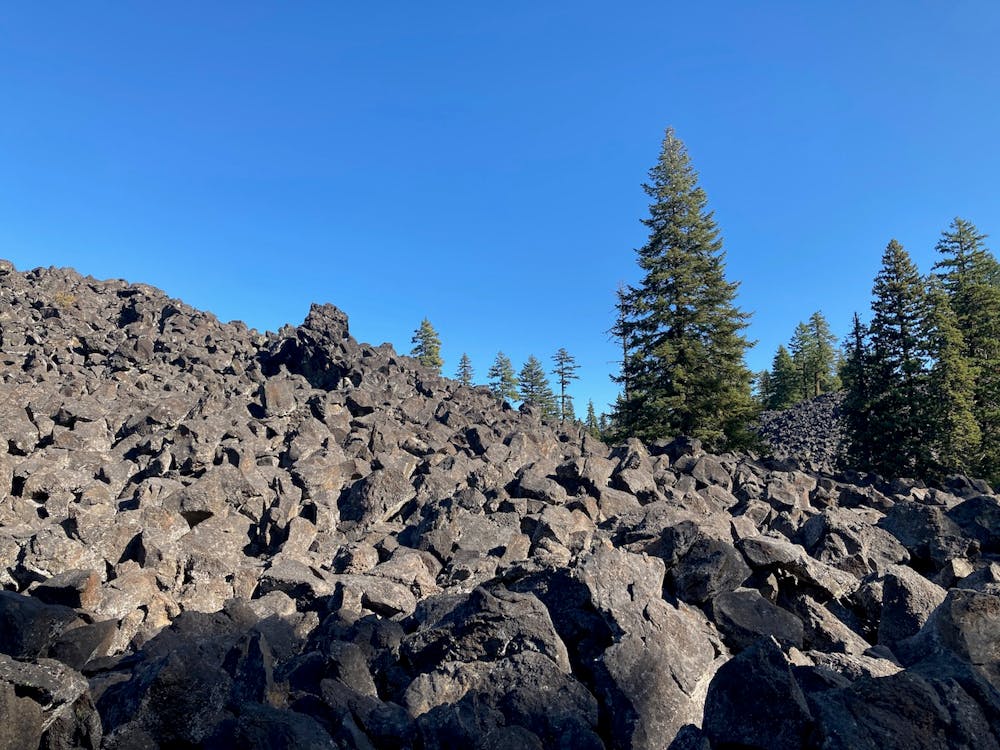
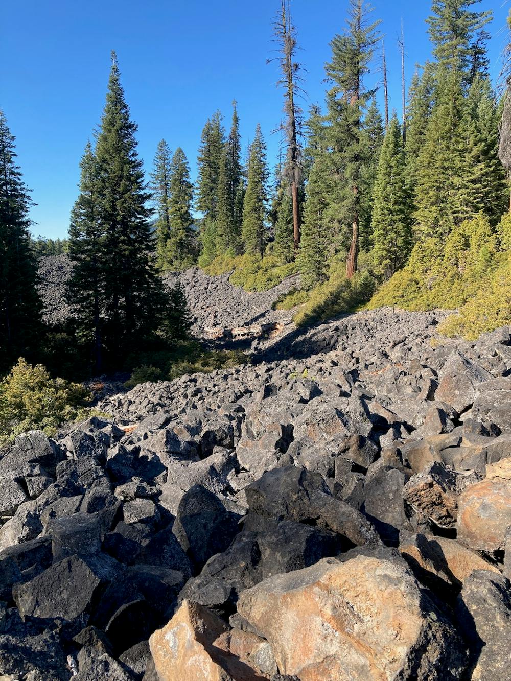
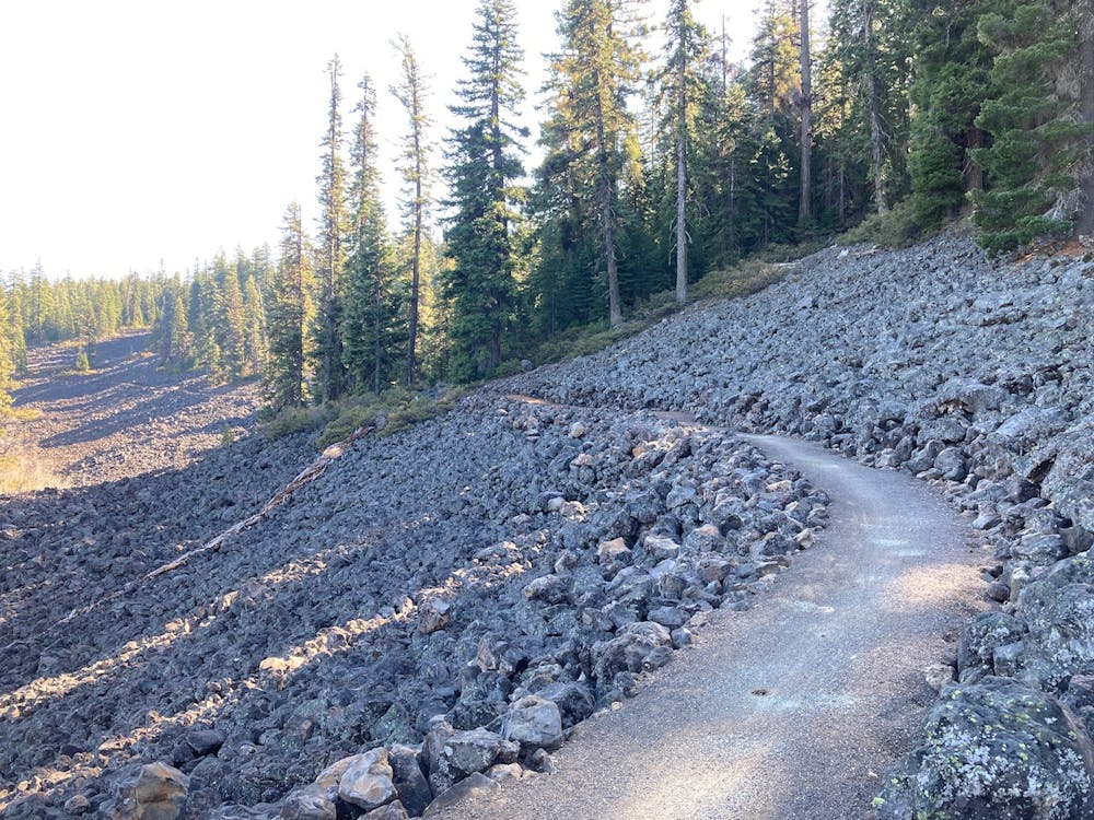
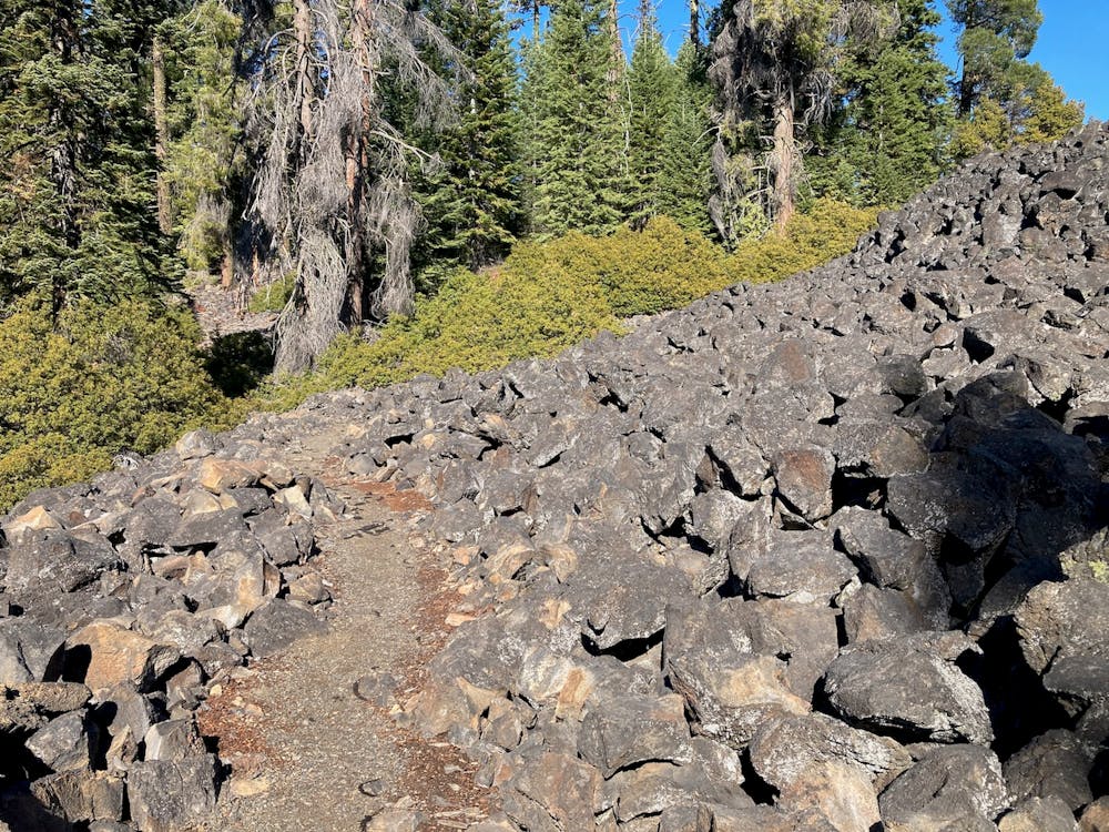
For those riders who don't enjoy technical challenges, the Brown Mountain Loop also rewards with relatively smooth singletrack. That said, a few rock gardens will remind you that you are, indeed, mountain biking, and will encourage you to bring your cross country whip and not your gravel bike.
While some sources indicate that this trail is very popular with horseback riders, that depends a bit on the day and time of year. Some days, cyclists will dominate. And many days, you might not see another soul for your entire ride!
Moderate
Mostly stable trail tread with some variability, with unavoidable obstacles 8in/20cm tall or less. Other obstacles such as rock gullies and steep sections may exist. Ideal for lower intermediate riders.

The path is on completely flat land and potential injury is limited to falling over.

Little chance of being seen or helped in case of an accident.
1.8 km away
Mine some loam on a trail that time forgot.
Difficult Mountain Biking

20 routes · Mountain Biking
13 routes · Mountain Biking

52 routes · Mountain Biking · Freeride Skiing · Gravel Biking · Hiking · Road Biking
4 routes · Mountain Biking