1 m away
Hardesty Mountain Shuttle
Deep, dark, and fast--this is one of the furthest shuttles from Oakridge.
Difficult Mountain Biking
- Distance
- 12 km
- Ascent
- 349 m
- Descent
- 1 km
The steepest descent in Oakridge!
Mountain Biking Severe

Even though Eula Ridge is located between Hardesty and Lawler, Cog Wild doesn't technically support a commercial shuttle for Eula. But however you coordinate your shuttle, even if you have to team up with a few buddies, Eula Ridge is definitely worth the effort to reach it!
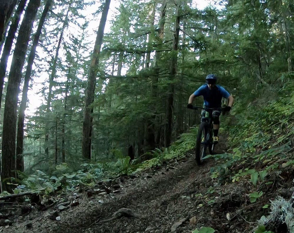

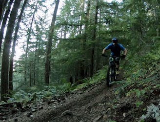
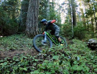
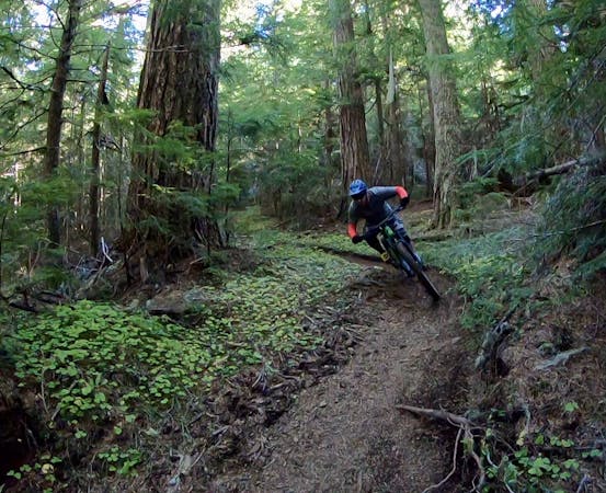
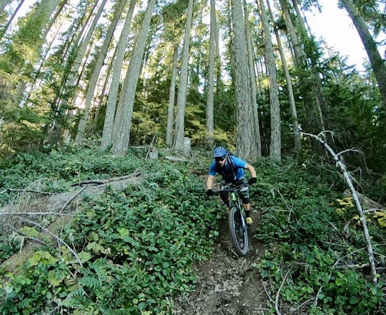
Eula Ridge reigns as the steepest descent in the Oakridge area. While Eula is not exceedingly technical, the steep chutes with rolling rocks leading into slick root webs demand advanced-level mountain bike skills. Heckletooth might have a few more challenging rock sections than Eula, but the descents on Eula require full commitment. In a sensation reminiscent of British Columbia riding, you'll roll up on chutes that you have to drop in to and ride out to the end. Attempting to stop and bail out is a guaranteed recipe for a crash. Eula Ridge isn't for the faint of heart, but advanced mountain bikers will have an absolute ball on this trail!
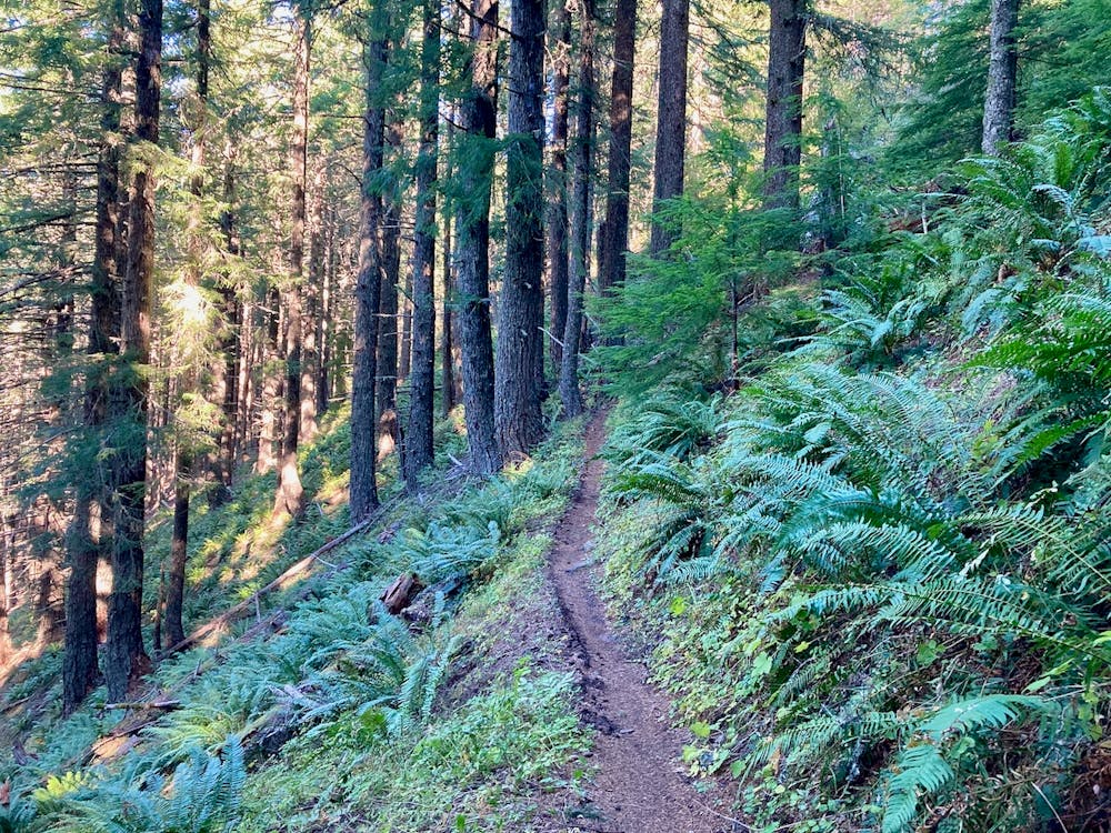
While you will drop through some deep, dark soil in classic Oakridge style, since the trail follows the top of a ridge you'll also encounter some drier, rockier soil. This drier soil can be quite loose, and rolling, sliding rocks provide a more challenging trail surface than many other trails in Oakridge.
Yes, at only 6.7 miles including the climb, this is a relatively short ride. And yet, the descent is so incredible, so noteworthy, that it's totally worth the effort to make the logistics happen.
If the shuttle logistics are too much, you could even consider pedaling this trail as a loop by climbing road 5840. If you opt for the loop ride, that will turn this into a 12.2-mile ride with 3,625 feet of climbing and descending.
Severe
Widely variable, narrow trail tread with steeper grades and unavoidable obstacles of 15in/38cm tall or less. Obstacles may include unavoidable bridges 24in/61cm wide or less, large rocks, gravel, difficult root sections, and more. Ideal for advanced-level riders.

The trail contains some obstacles such as outcroppings and rock which could cause injury.
Away from help but easily accessed.
1 m away
Deep, dark, and fast--this is one of the furthest shuttles from Oakridge.
Difficult Mountain Biking
2.9 km away
The deepest, darkest zone in Oakridge.
Difficult Mountain Biking
10 routes · Mountain Biking

20 routes · Mountain Biking
6 routes · Mountain Biking

15 routes · Mountain Biking