5 routes · Mountain Biking
The entire point-to-point North Umpqua River Trail—possibly the most epic trail in Oregon.
Mountain Biking Severe

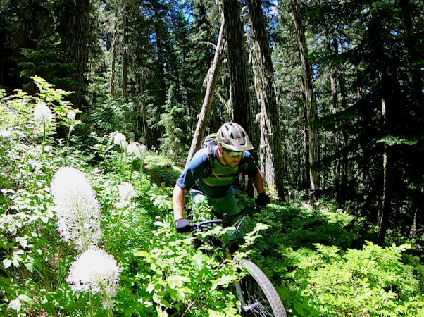
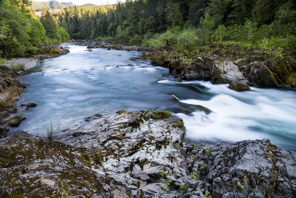
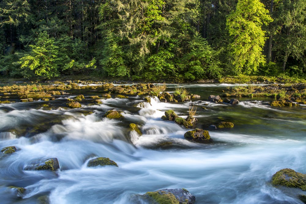
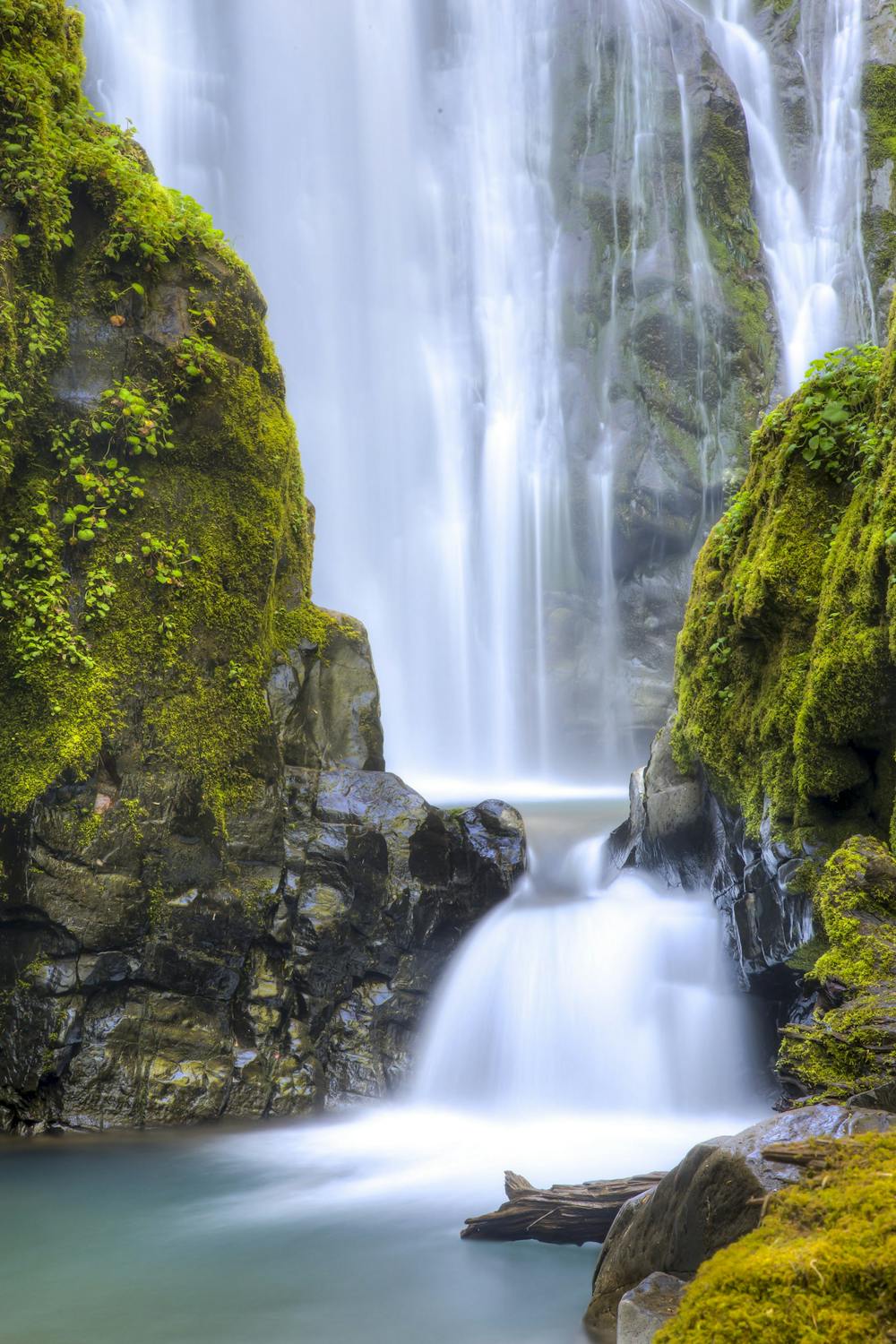
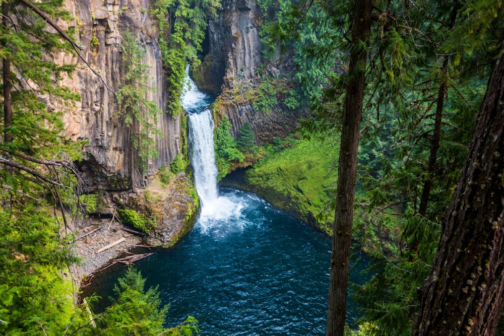
The North Umpqua River Trail makes a strong case for being the most epic mountain bike trail in Oregon. This 70-mile point-to-point singletrack trail "follows the high ridgeline above the river, snakes through towering forests of hemlock, fir, and pine, and skirts multiple waterfalls as it follows the shining rapids of the river,” according to Eileen Garvin on TravelOregon.com.
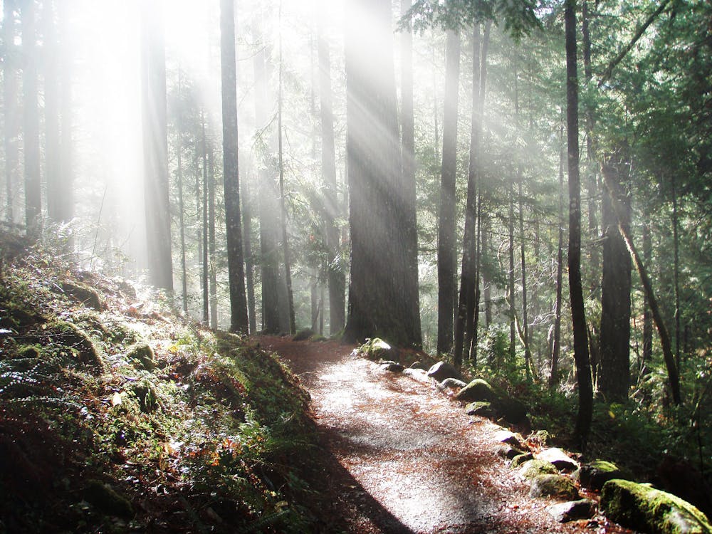
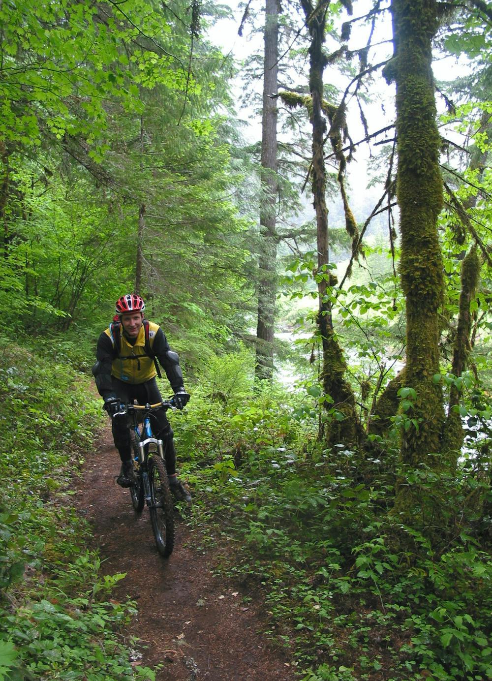
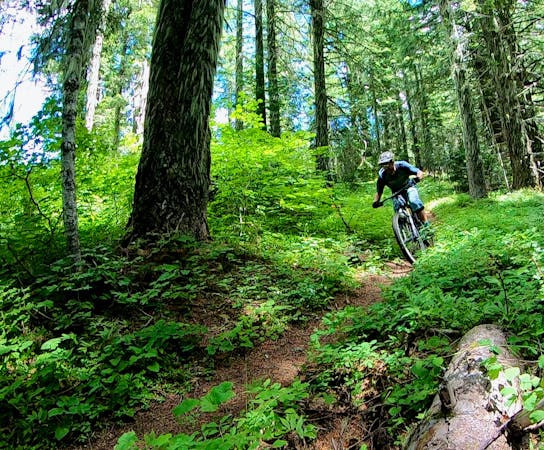
The epicness of this 100% singletrack excursion has earned it an IMBA Epic rating and has made it a bucket list objective for riders from across the country. While the trail has five distinct sections, many riders that make the effort to reach the North Umpqua River Trail (or NUT, for short) decide to tackle the entire thing, usually in a multi-day ride. With a variety of campgrounds and dispersed camping locations along the way, there are plenty of options for stopping to spend the night. And thanks to road crossings, you could even cajole a friend into driving a support vehicle. Or, go self-supported with bikepacking gear.
The preferred ride direction is east to west (as mapped here), which goes downriver and thus loses a small amount of elevation over the course of the ride. But it isn’t much—according to FATMAP, you’ll climb 8,200 vertical feet and lose 12,000 vertical feet over the course of the entire ride.
While this is a long-distance ride, don’t expect smooth, easy singletrack optimized for fully-loaded bikes. The NUT is exceedingly technical in places, with jagged lava rocks, exposed sections of trail on narrow ledges, stream crossings, slick roots, and so much more. If you plan to bikepack this route, be sure to bring a capable mountain bike. Practicing negotiating technical obstacles with a heavy, fully-loaded bike in advance is a good idea.
If you do brave this rugged, remote singletrack trail, you’ll be rewarded with an epic mountain bike experience that few riders can even dream of!
Sources: https://traveloregon.com/things-to-do/outdoor-recreation/bicycling/mountain-biking/riding-truly-epic-north-umpqua-trail/ https://www.cogwild.com/mountain-bike-trails-maps/north-umpqua-trail/ https://www.outdoorproject.com/united-states/oregon/north-umpqua-trail-mountain-biking-dread-and-terror-segment
Severe
Widely variable, narrow trail tread with steeper grades and unavoidable obstacles of 15in/38cm tall or less. Obstacles may include unavoidable bridges 24in/61cm wide or less, large rocks, gravel, difficult root sections, and more. Ideal for advanced-level riders.

Some trail sections have exposed ledges or steep ascents/descents where falling could cause serious injury.

In the high mountains or remote conditions, all individuals must be completely autonomous in every situation.
5 routes · Mountain Biking
5 routes · Mountain Biking

15 routes · Mountain Biking