5.4 km away
Rothrock Epic
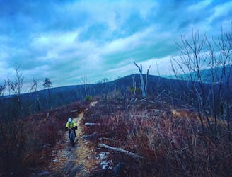
Rocks, ridges and rhododendrons -- this route is classic central Pennsylvania.
Severe Mountain Biking
- Distance
- 53 km
- Ascent
- 1.4 km
- Descent
- 1.4 km
A classic way to explore Shingletown Gap with epic views and a hefty serving of rocks.
Mountain Biking Difficult

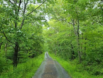
Shingletown Gap is one of the lesser-visited corners of Rothrock, but one of the best areas to ride if you've already hit other classics like Tussey Mountain and Coopers Gap. An elaborate, though confusing, network of trails weaves through the quiet valley, and if you're looking for solitude - there's no better option.
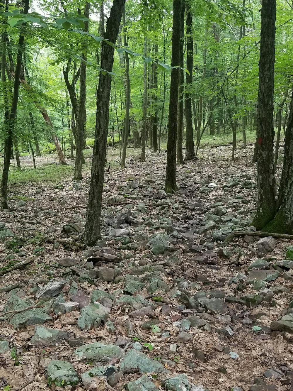
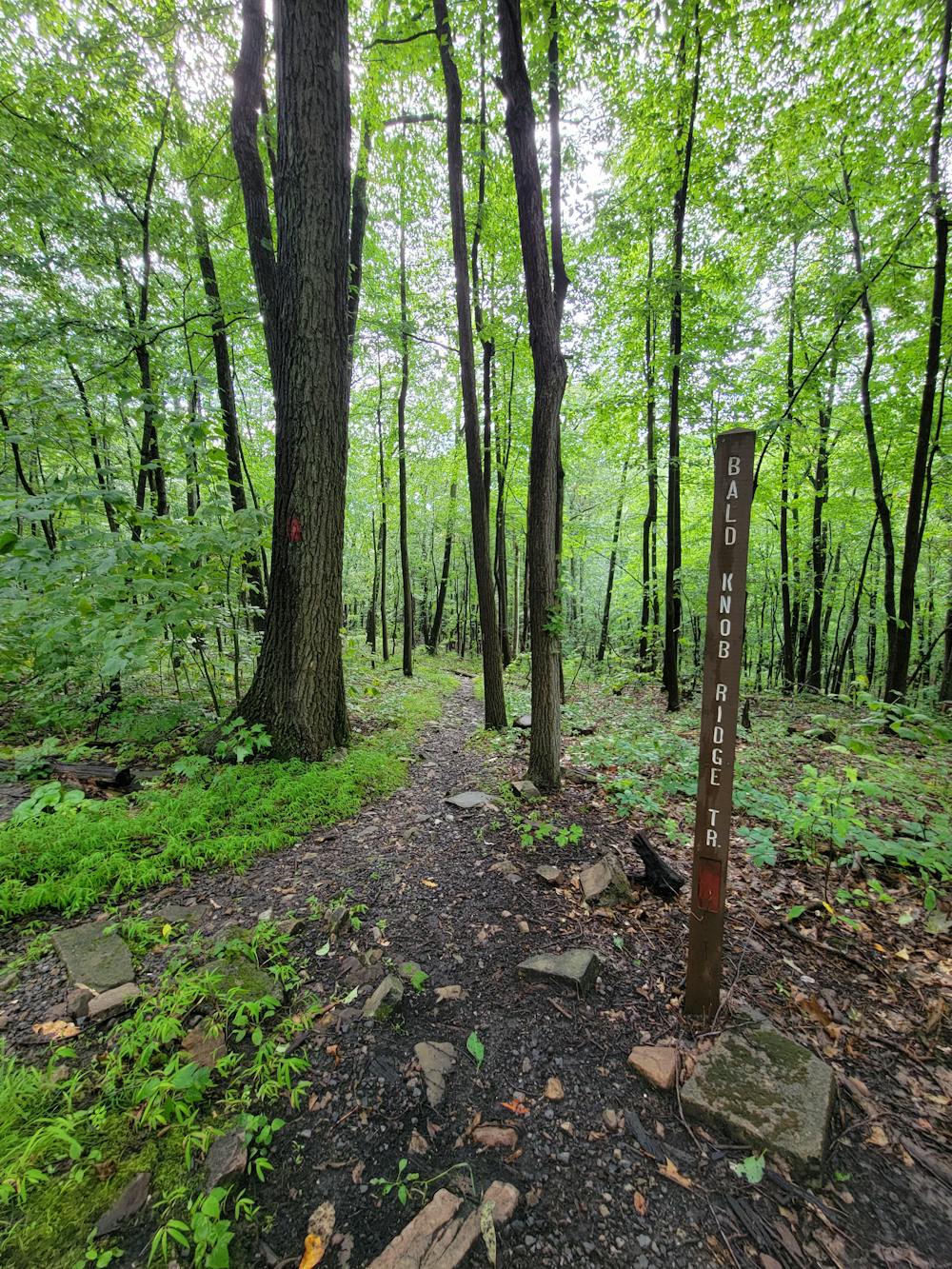
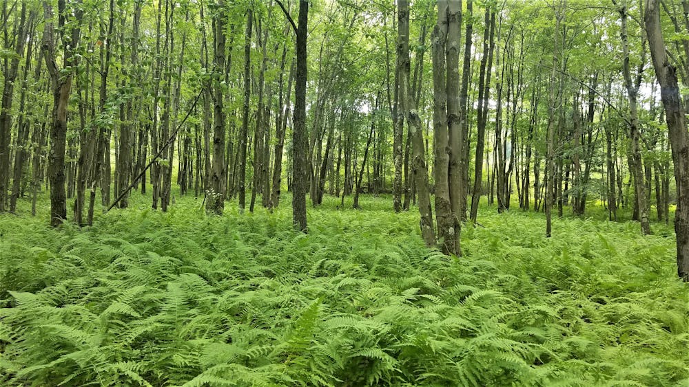
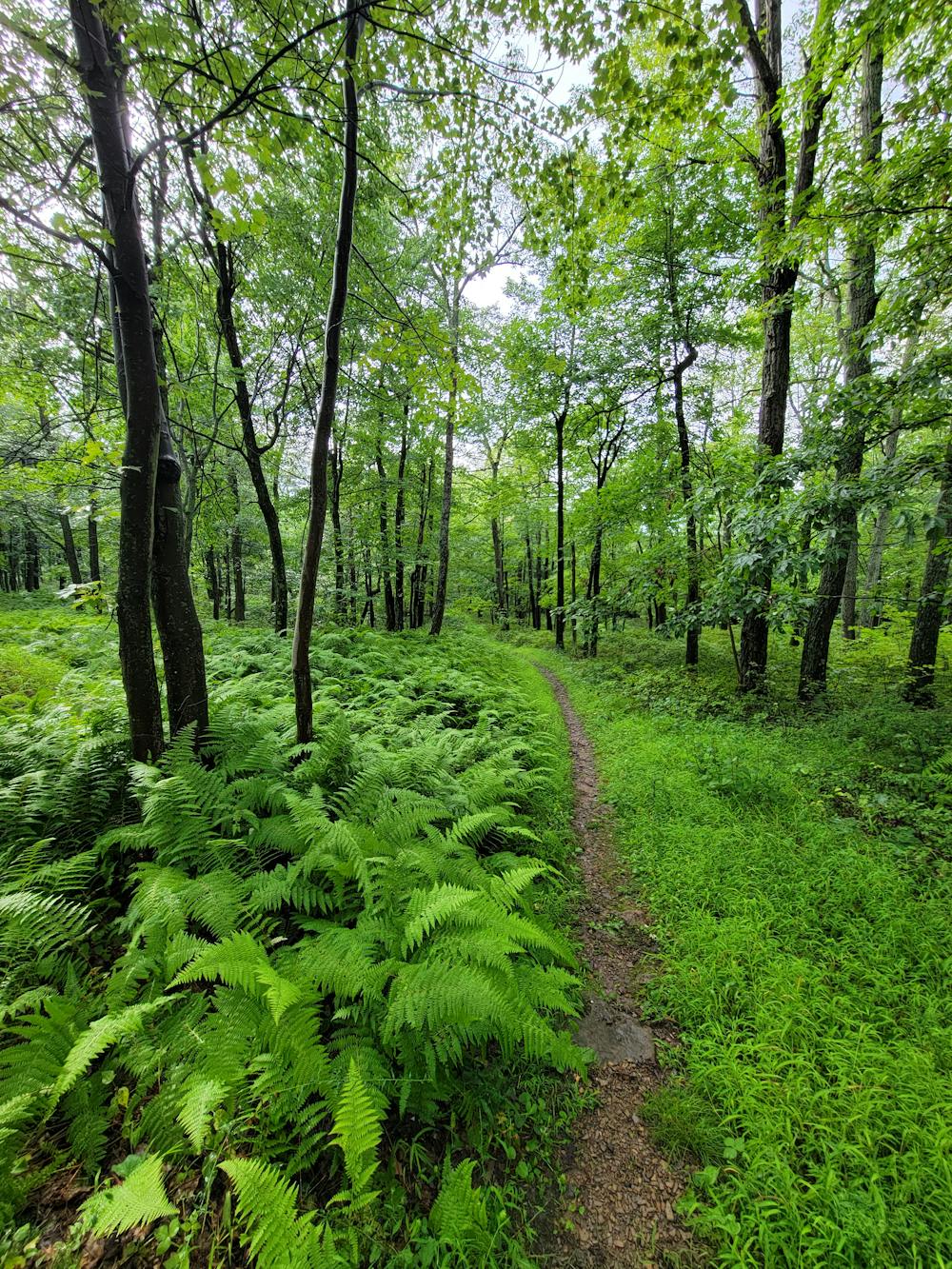
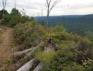
Seen here, this loop begins with a steep climb up Bald Knob Ridge Trail that eventually mellows out as you reach the ridgeline. The trail tends to get rockier as you continue, so consider airing your tires up a little more and take it steady as you traverse the technical rock gardens. You'll enjoy a few excellent views along the way, and the trail is lined with beautiful wildflowers and wild edibles, such as blueberries, should you take the time to stop and explore your surroundings. Continuing the loop to Greenshoot, Lower, then Shingletown Gap, the trail passes through a beautiful and lush sea of ferns before following a quiet mountain stream back to the trailhead.
One of the key highlights of Shingletown is its proximity to State College. The trailhead is just minutes from downtown and equally close to Penn State. Squeeze in a before or after work ride, or use this loop as a base for a longer ride by adding in Old Laurel Run or continuing further to the acclaimed Tussey Mountain Trail. If you don't have time to prep the bike, a hike or trail run could be another fun way to see the area.
Difficult
Mostly stable trail tread with some variability featuring larger and more unavoidable obstacles that may include, but not be limited to: bigger stones, roots, steps, and narrow curves. Compared to lower intermediate, technical difficulty is more advanced and grades of slopes are steeper. Ideal for upper intermediate riders.

The trail contains some obstacles such as outcroppings and rock which could cause injury.

Little chance of being seen or helped in case of an accident.
5.4 km away
Rocks, ridges and rhododendrons -- this route is classic central Pennsylvania.
Severe Mountain Biking
5.4 km away
A classic ride along Tussey Mountain that will leave you grinning from ear to ear.
Difficult Mountain Biking
5.4 km away
A gravel climb to a techy singletrack descent down one of Rothrock's most notorious trails.
Difficult Mountain Biking

6 routes · Mountain Biking