4.3 km away
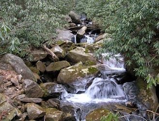
Spoonauger Falls
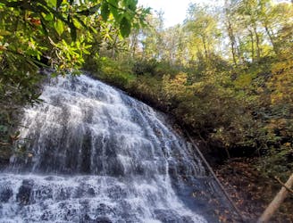
A beautiful waterfall that feeds into the Chattooga River above Burrells Ford.
Moderate Hiking
- Distance
- 1.1 km
- Ascent
- 26 m
- Descent
- 26 m
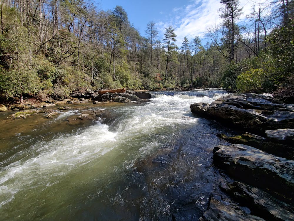
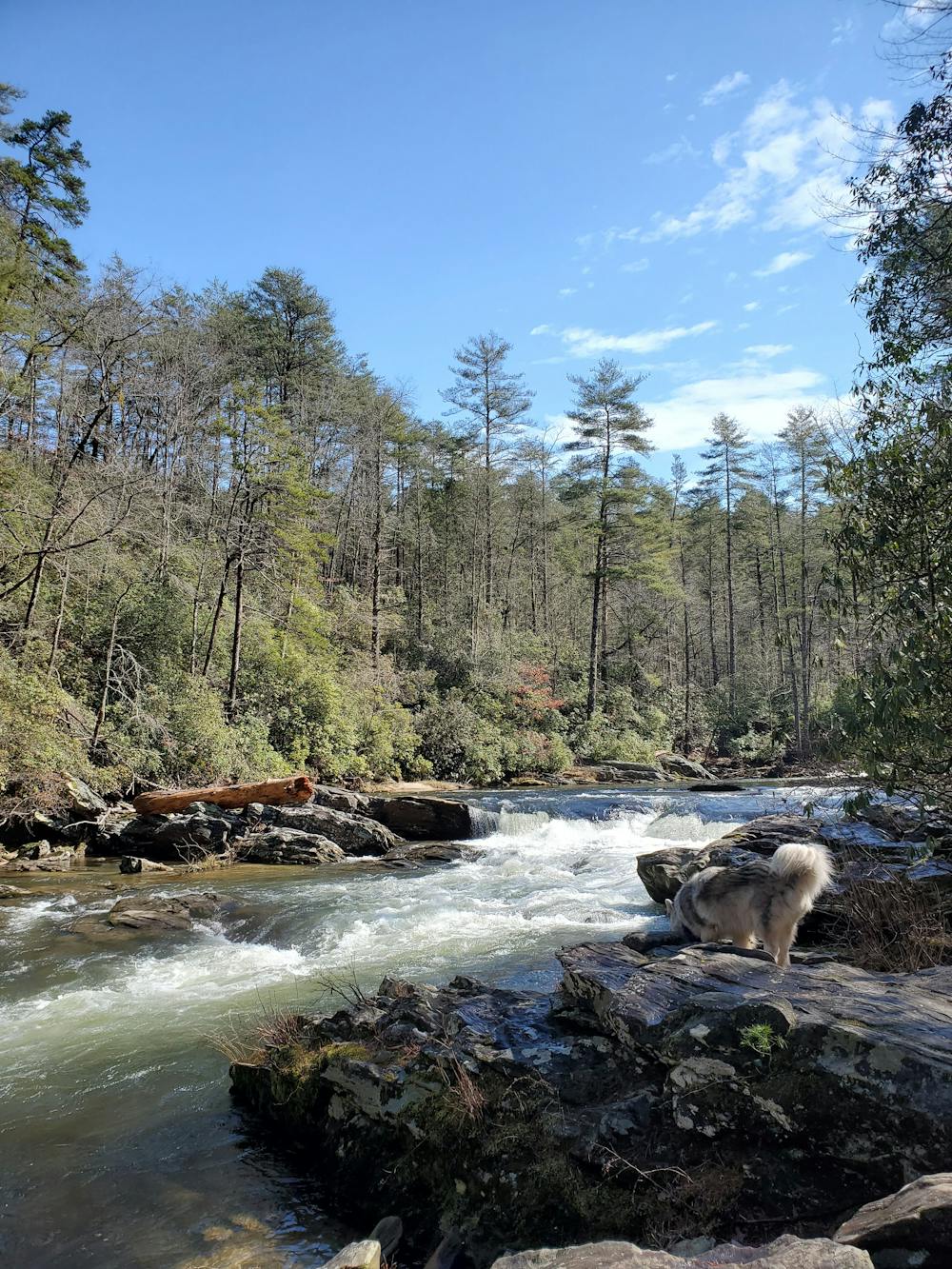
A short, but powerful waterfall and swimming hole on a remote stretch of the Chattooga River.
Hiking Moderate

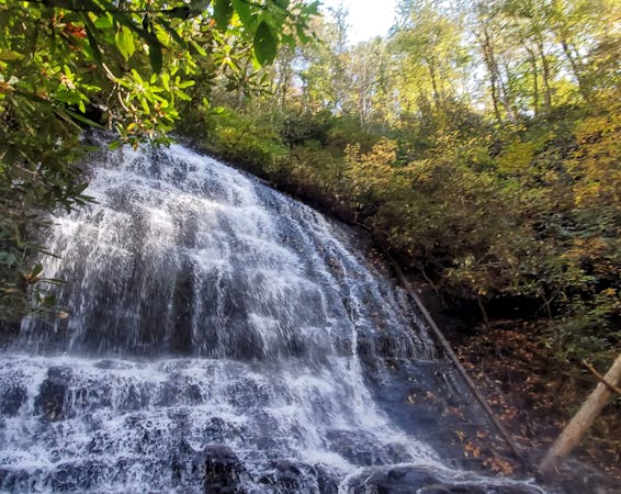
Big Bend Falls on the Chattooga is a stunning waterfall on a sharp curve in the river with a drop ranging from 15' to 30' in places. It's conveniently located along the Foothills Trail, and the sandy shoreline and deep swimming holes make it a perfect summer destination for anyone in the family. According to this source, Big Bend is also notable as the "highest single drop" on the Wild and Scenic Chattooga River.
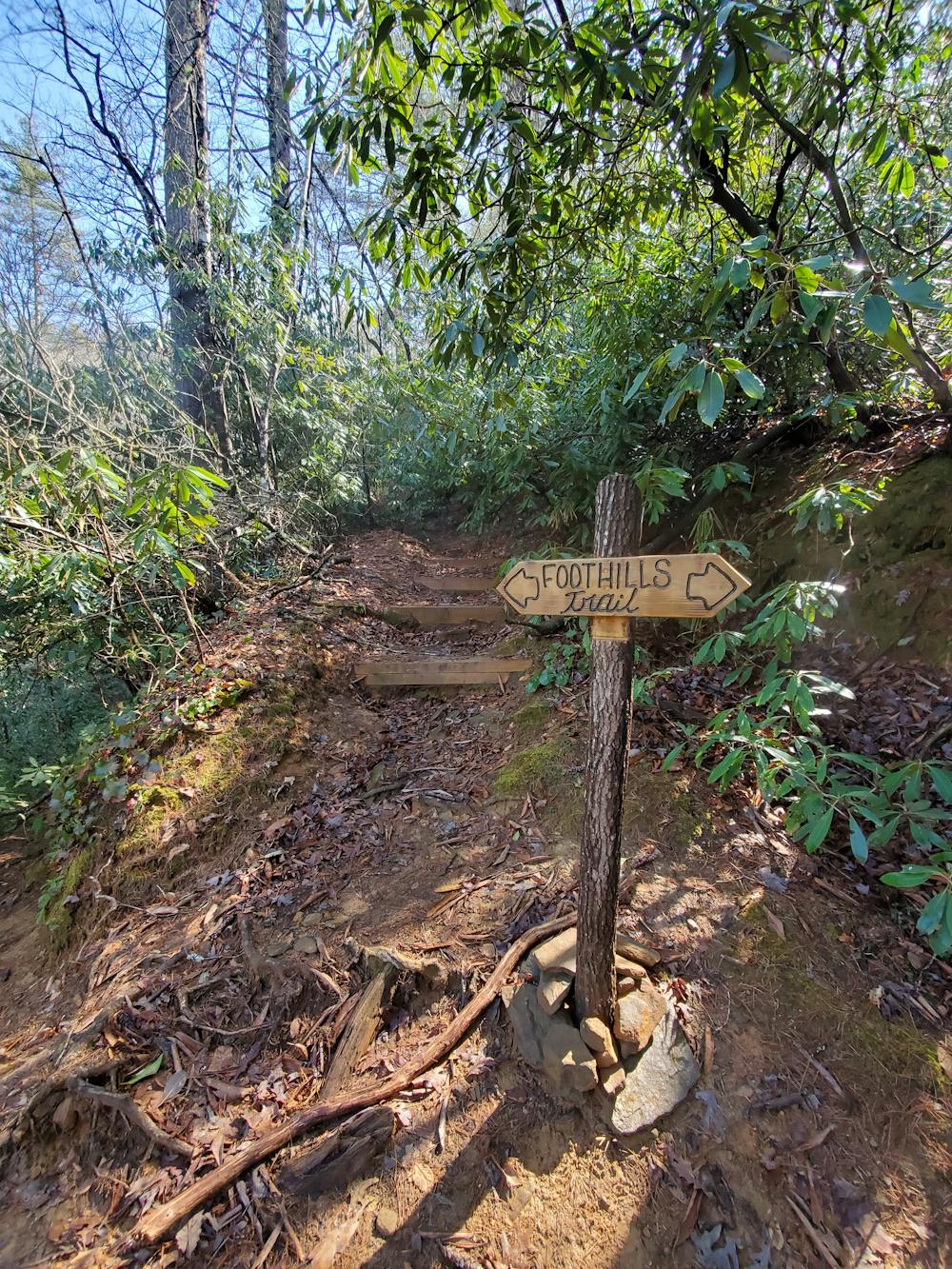
Seen here, you'll begin your hike along Highway 107 across from the Cherry Hill Recreation Area. There is plenty of parking for larger vehicles, RV's, or trailers along the road. When the recreation area is open, water and restrooms are both available - otherwise, there are none immediately at the trailhead. A piped spring is available on the side of 107, just north of Cherry Hill.
As an alternative to hiking the entire Big Bend Trail, the adjacent logging road was improved in 2020, and can be driven in a 2wd vehicle with moderate ground clearance. The road ends with a small turnaround large enough for a few vehicles and is just 1.5-miles round-trip to the waterfall.
Sources: White Dot Adventures SC Trails
Moderate
Hiking along trails with some uneven terrain and small hills. Small rocks and roots may be present.

The trail contains some obstacles such as outcroppings and rock which could cause injury.
Away from help but easily accessed.
4.3 km away
A beautiful waterfall that feeds into the Chattooga River above Burrells Ford.
Moderate Hiking
8.7 km away
A lesser-known thru hike through the foothills of the Appalachian Mountains.
Difficult Hiking
10 routes · Hiking