Palmetto Trail

An epic backpacking route traversing the entire state of South Carolina.
Moderate Hiking
- Distance
- 752 km
- Ascent
- 4.1 km
- Descent
- 4.5 km
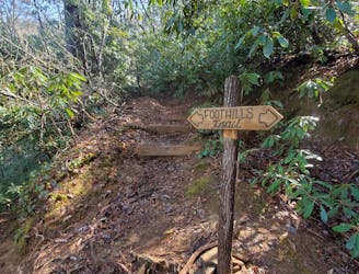
Go hiking in South Carolina with curated guides of the best hikes across the region. With over 14 3D trail maps in FATMAP, you can easily discover and navigate the best trails in South Carolina.
No matter what your next adventure has in store, you can find a guide on FATMAP to help you plan your next epic trip.
Get a top hiking trail recommendation in South Carolina from one of our 4 guidebooks, or get inspired by the 14 local adventures uploaded by the FATMAP community. Start exploring now!
An epic backpacking route traversing the entire state of South Carolina.
Moderate Hiking
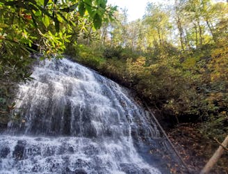
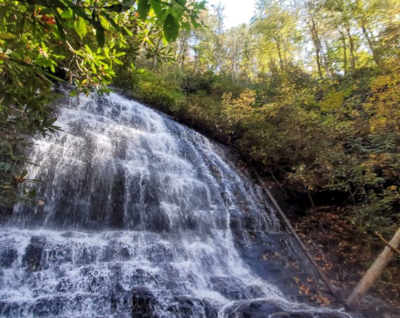
A beautiful waterfall that feeds into the Chattooga River above Burrells Ford.
Moderate Hiking
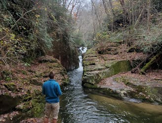
A spur off of the Foothills Trail to a stunning section of the Eastatoe Gorge known as "The Narrows."
Moderate Hiking
A short, but powerful waterfall and swimming hole on a remote stretch of the Chattooga River.
Moderate Hiking

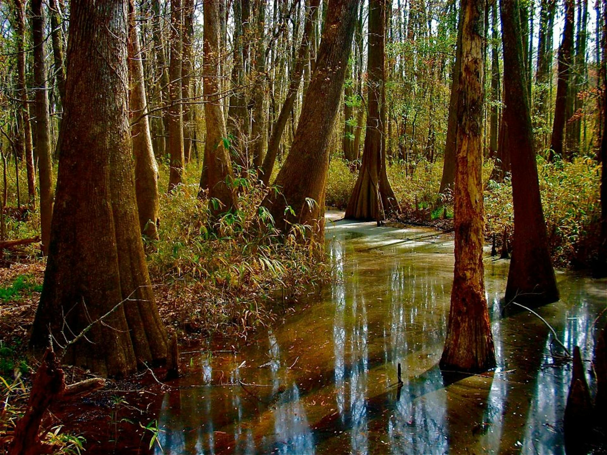
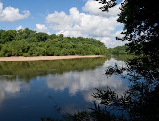
A mellow stroll through Congaree National Park’s enchanting forest of huge trees, reaching a viewpoint on the banks of the Congaree River.
Easy Hiking

One of the park’s longest and most remote hikes, granting especially diverse forest communities and bird life.
Moderate Hiking

A longer and wilder hike than the Boardwalk, finding more diverse forest and wildlife viewing opportunities.
Easy Hiking
As a day trip or backpacking trip, hike through designated wilderness that’s rich in wildlife, and reach the shore of the Congaree River.
Moderate Hiking

5 routes · Hiking
10 routes · Hiking

63 routes · Alpine Climbing · Hiking