3.5 km away
Mount Sterling Loop

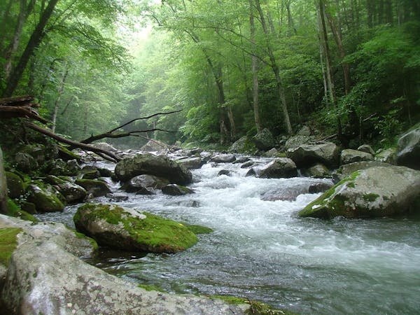
Overnight loop with huge elevation gain along waterfall creeks and steep ridgelines in Great Smoky Mountains National Park.
Difficult Hiking
- Distance
- 27 km
- Ascent
- 1.3 km
- Descent
- 1.3 km
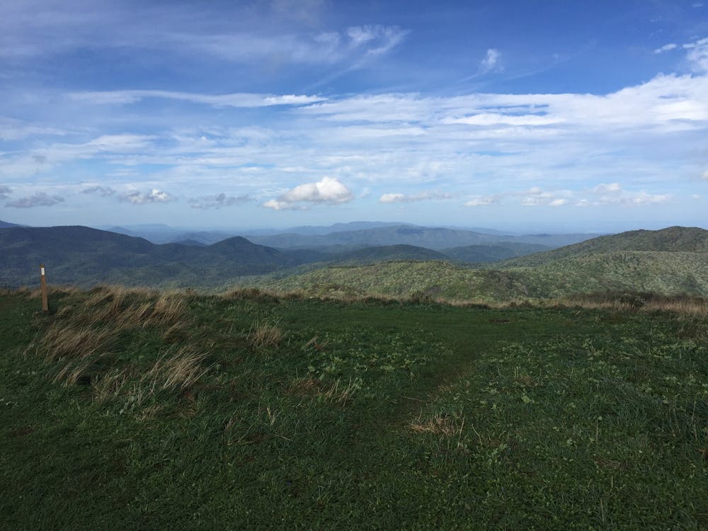
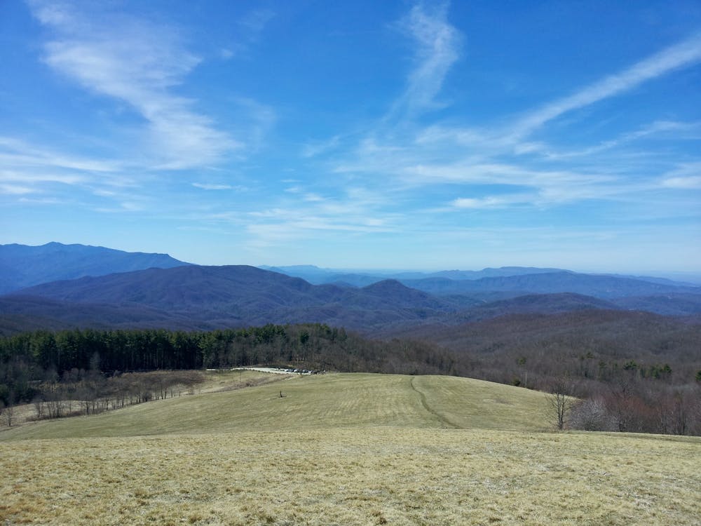
The trek to Max Patch Mountain, a bald, grassy summit with 360° views of the Blue Ridge Mountains.
Also in North Carolina, United States of America
Hiking Moderate

This portion of the Appalachian Trail is known for its summit of Max Patch Mountain, a key landmark that every thru-hiker places atop their list.

According to an article in "The Mountaineer," "this amazing area was cleared and used historically as a pasture for cattle and sheep back in the 1800's. In the 1920's, there was even a landing strip for airplanes offering thrill rides."
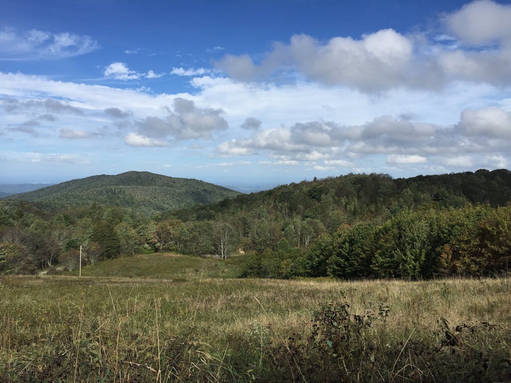
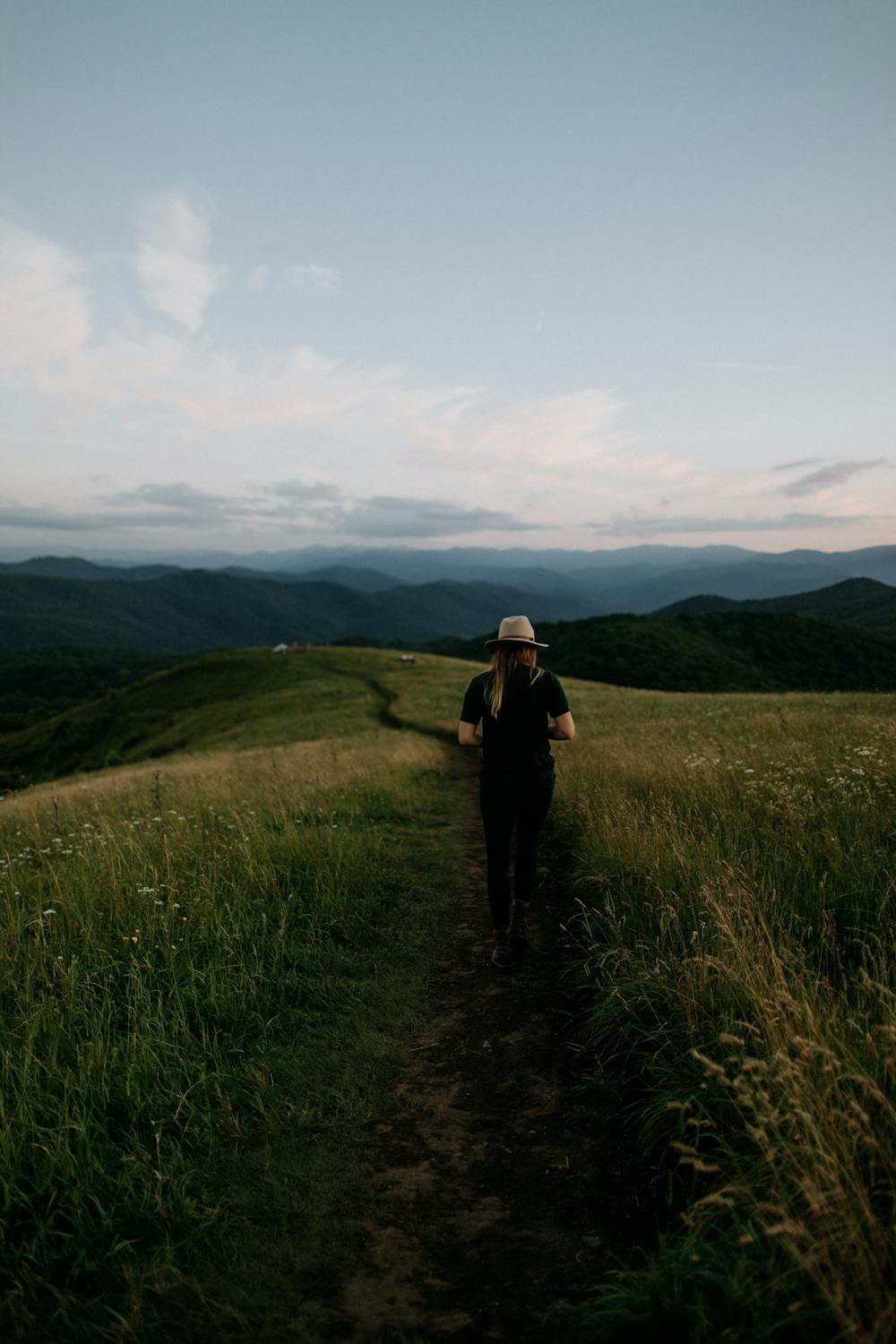
Now located deep within Pisgah National Forest, this 4,600-foot bald, grassy summit is a popular destination offering panoramic views in every direction. While you must camp at least 200' from the AT, this clearing offers countless opportunities to spend the night under the stars.
For those planning a multi-day trip, various trail reports list countless camping opportunities along both approaches. Fresh springs are also prevalent, but should always be filtered.
From the south, the AT ascends quickly from the Pigeon River before skirting around Harmon Den Mountain, the last landmark before Max Patch Mountain. The summit is nearly 14 miles from Davenport Gap (sometimes denoted by the adjacent Interstate 40 crossing). A slightly longer approach, roughly 20 miles, can also be made from Hot Springs, NC, making it a perfect shuttling opportunity.
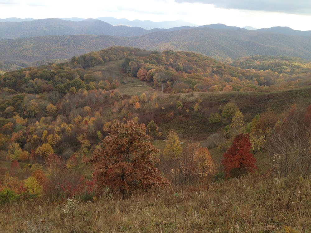
Max Patch is extremely popular in the spring and summer months as it is typically 10 degrees cooler atop the peak. The changing colors of the fall and its beauty after a fresh snow also make it a year-round destination.
For those looking for a shorter hike, an unpaved access road leads to a parking area adjacent to the summit. If attempting this drive during the winter, it is recommended to have a high-clearance, 4-wheel-drive vehicle. The road can become treacherous and you will be a long way from help should you need it.
Sources: https://www.theoutbound.com/north-carolina/backpacking/hike-from-max-patch-to-hot-springs-n-c https://www.romanticasheville.com/max-patch https://en.wikipedia.org/wiki/MaxPatch
Moderate
Hiking along trails with some uneven terrain and small hills. Small rocks and roots may be present.

The trail contains some obstacles such as outcroppings and rock which could cause injury.
Away from help but easily accessed.
3.5 km away
Overnight loop with huge elevation gain along waterfall creeks and steep ridgelines in Great Smoky Mountains National Park.
Difficult Hiking
9.5 km away
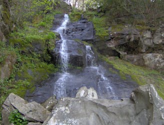
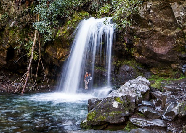
A stunning 90' waterfall that spreads from 2' at the top, to 20' at its base.
Moderate Hiking

58 routes · Hiking
10 routes · Hiking
6 routes · Hiking
4 routes · Hiking