2.7 km away
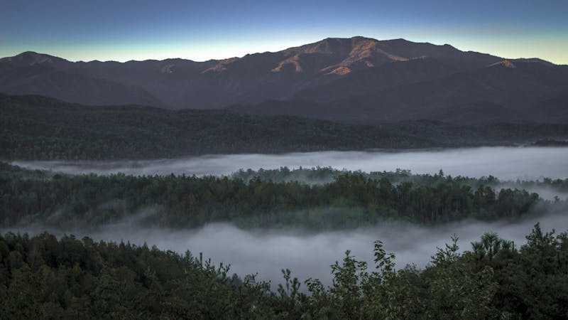
Mount Sterling Loop

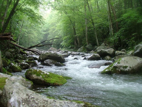
Overnight loop with huge elevation gain along waterfall creeks and steep ridgelines in Great Smoky Mountains National Park.
Difficult Hiking
- Distance
- 27 km
- Ascent
- 1.3 km
- Descent
- 1.3 km
Views from some of the Appalachian mtns highest peaks on this moderate/difficult loop.
Hiking Difficult

This is a popular hiking route which is generally considered to be difficult. It's very remote, it features medium exposure and is typically done between March and November. From a low point of 498 m to the maximum altitude of 1.9 km, the route covers 54 km, 2604 vertical metres of ascent and 2611 vertical metres of descent.


Chestnut Br/AT/Balsam mtn/Benton Mackaye loop best done in 5 days/4 nights
Difficult
Hiking trails where obstacles such as rocks or roots are prevalent. Some obstacles can require care to step over or around. At times, the trail can be worn and eroded. The grade of the trail is generally quite steep, and can often lead to strenuous hiking.

The trail contains some obstacles such as outcroppings and rock which could cause injury.

Little chance of being seen or helped in case of an accident.
2.7 km away
Overnight loop with huge elevation gain along waterfall creeks and steep ridgelines in Great Smoky Mountains National Park.
Difficult Hiking
2.8 km away
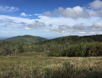
The trek to Max Patch Mountain, a bald, grassy summit with 360° views of the Blue Ridge Mountains.
Moderate Hiking
7 km away
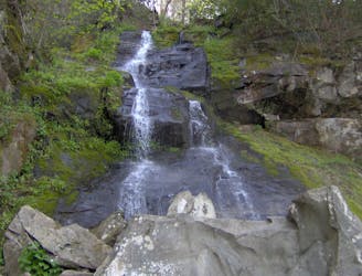
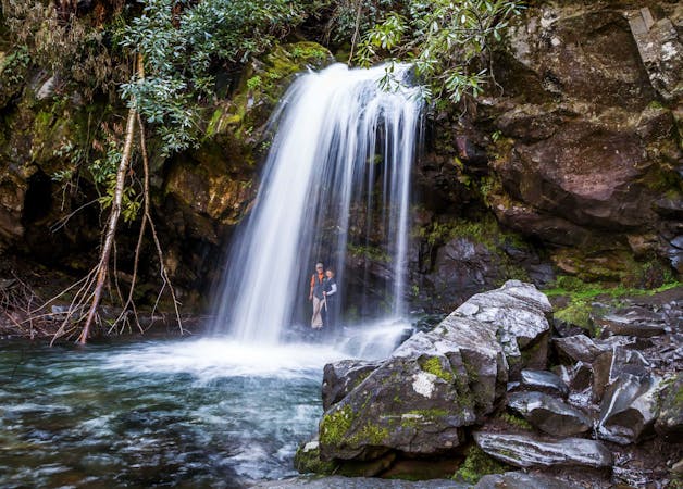
A stunning 90' waterfall that spreads from 2' at the top, to 20' at its base.
Moderate Hiking

58 routes · Hiking
10 routes · Hiking
6 routes · Hiking
4 routes · Hiking