47 m away
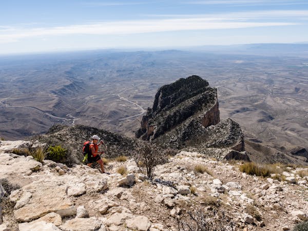
Permian Reef
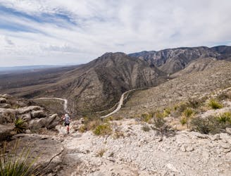
An absolutely stunning hike high above McKittrick Canyon.
Difficult Hiking
- Distance
- 12 km
- Ascent
- 700 m
- Descent
- 700 m
point to point hike in Guadalupe Mountains National Park
Hiking Moderate

This is a popular hiking route which is generally considered to be moderate. It's remote, it features medium exposure and is typically done between October and April. From a low point of 1.5 km to the maximum altitude of 2.4 km, the route covers 34 km, 1582 vertical metres of ascent and 1340 vertical metres of descent.
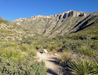
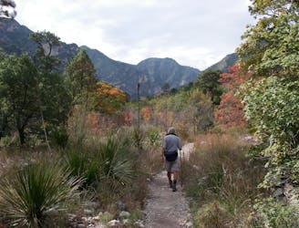
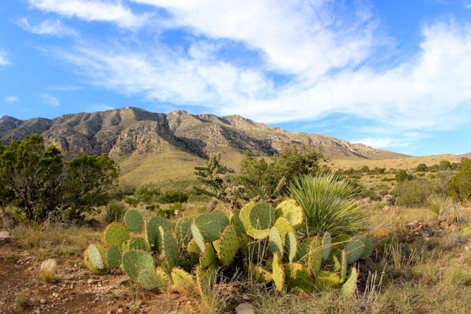
McKittrick Canyon to Pine Springs is a 21.9 mile point-to-point trail located near Salt Flat, Texas that features fall color, seasonal beautiful wild flowers, and great views. Includes a detour to a campsite at Lost Peak.
Moderate
Hiking along trails with some uneven terrain and small hills. Small rocks and roots may be present.

The trail contains some obstacles such as outcroppings and rock which could cause injury.
Away from help but easily accessed.
47 m away
An absolutely stunning hike high above McKittrick Canyon.
Difficult Hiking
48 m away
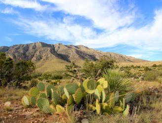
A short hike highlighting local wildlife, plants, and geology.
Moderate Hiking
48 m away
An out-and-back hike on the McKittrick Canyon Trail to "The Notch," a stunning overlook.
Difficult Hiking
8 km away

An easy, short walk from the Dog Canyon Campground where you can "discover the plants and animals of a meadow in the secluded north section of the park."
Easy Hiking
9 km away
A short hike through a desert oasis with two stunning springs, a riparian woodland, and plenty of wildlife.
Moderate Hiking
10 routes · Hiking
4 routes · Hiking