1.9 km away
Burro Wash
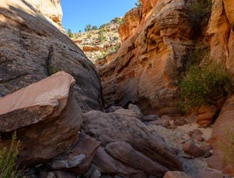
One of the best slot canyon hikes in Capitol Reef National Park.
Severe Hiking
- Distance
- 9.8 km
- Ascent
- 185 m
- Descent
- 186 m
A lesser-traveled slot canyon in Capitol Reef National Park.
Hiking Extreme

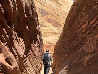
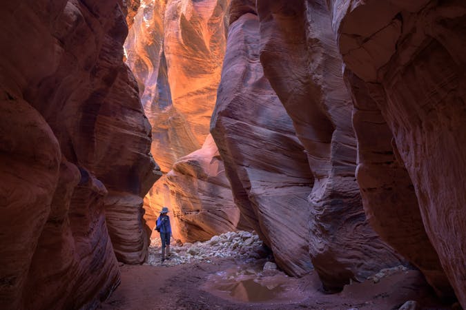
If you are looking for a hike that will test your skills and reward you with stunning views, then the Cottonwood Wash Trail is for you. This ~6.5-mile out-and-back trail takes you through a variety of terrain, from sandy washes to narrow slot canyons, and requires some rock scrambling, wading, and route-finding along the way. You will need to be prepared for obstacles such as dry falls, choke stones, and pools of water that may require swimming. This trail is not for the faint of heart, but for those who seek a thrilling and memorable experience in the heart of Capitol Reef National Park.
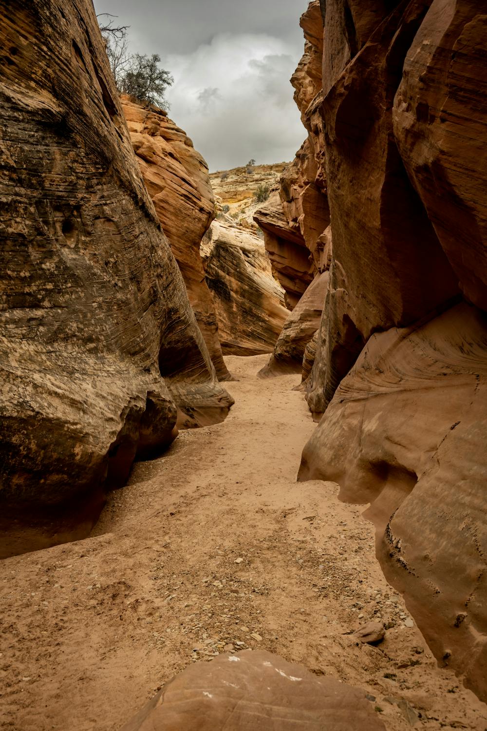
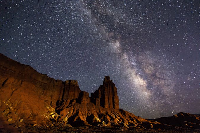
The trail begins on the Notom-Bullfrog Road, 9 miles south of Highway 241. You can park at the trailhead or drive a short distance up the wash with a high-clearance vehicle. The first few miles are easy and follow the wide wash bottom surrounded by low hills. You will cross the park boundary and enter the Waterpocket Fold, a massive geologic feature that forms the backbone of the park. Here, the canyon walls start to rise and close in, creating a series of slot canyons that will challenge your hiking abilities.
You will encounter several boulders that you will have to climb over or under, some as high as 15 feet. You will also have to squeeze through tight passages and wade or swim through pools of water that may be deep and cold. The trail ends at a large pool that blocks further progress. You can admire the beauty and solitude of this hidden gem before retracing your steps back to the trailhead.
Sources: Conversation with Bing https://www.utah.com/destinations/national-parks/capitol-reef-national-park/things-to-do/hiking/cottonwood-wash/ https://www.10adventures.com/hikes/capitol-reef-national-park/cottonwood-wash/
Extreme
Scrambling up mountains and along technical trails with moderate fall exposure. Handholds are necessary to navigate the trail in its entirety, although they are not necessary at all times. Some obstacles can be very large and difficult to navigate, and the grades can often be near-vertical. The challenge of the trail and the steepness of the grade results in very strenuous hiking. Hikes of this difficulty blur the lines between "hiking" and "climbing".

The trail contains some obstacles such as outcroppings and rock which could cause injury.

Little chance of being seen or helped in case of an accident.
1.9 km away
One of the best slot canyon hikes in Capitol Reef National Park.
Severe Hiking
5.7 km away
A winding gorge with multiple sections of slot canyon narrows, requiring scrambling and wading, but no ropes or hardwear to ascend and descend.
Severe Hiking
8 km away
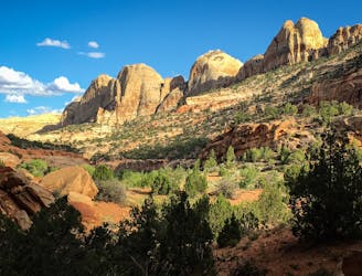
Easy hike in a backcountry setting, along a flowing stream in a remote canyon of Capitol Reef.
Easy Hiking
8 routes · Hiking

10 routes · Hiking
9 routes · Hiking