1.3 km away
Mid Mountain Trail
A scenic mountainside traverse linking Deer Valley and Park City Resorts.
Moderate Hiking
- Distance
- 42 km
- Ascent
- 1.1 km
- Descent
- 1.2 km
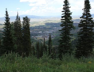
Uphill jaunt through hillside forest over Park City
Hiking Moderate

This uphill jaunt through hillside woodland is practically in town in Park City. You can easily bike or even walk to the trailhead on Mellow Mountain Drive. That’s good because there isn’t actually a parking area there, though you can park on Aerie Drive and link with Gambel Oak via a section of Prospector Trail.
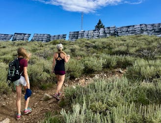
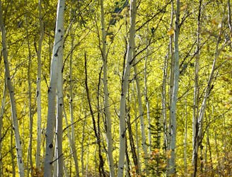
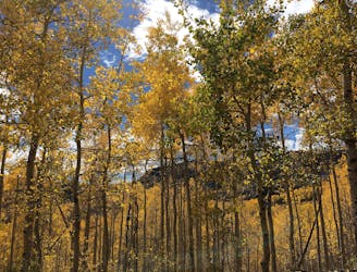
As the name suggests, Gambel Oak Trail ascends a hillside where gambel oak is prevalent, but other plants like maples, elderberry bushes, sagebrush, and various wildflowers are mixed in. Higher on the hill, aspens appear as well. In general, the foliage is not especially dense, so views and sunshine are plentiful.
A network of trails popular for hiking and biking weave around this hill. At the top of Gambel Oak, you can either return the way you came or continue on Lost Prospector Trail to make a loop of about 4 miles. Different variations are also possible with other interconnecting trails.
Sources: http://www.utahmountainbiking.com/trails/gambel.htm http://map.mountaintrails.org/
Moderate
Hiking along trails with some uneven terrain and small hills. Small rocks and roots may be present.

The path is on completely flat land and potential injury is limited to falling over.
Close to help in case of emergency.
1.3 km away
A scenic mountainside traverse linking Deer Valley and Park City Resorts.
Moderate Hiking
1.8 km away
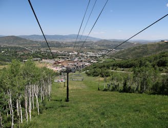
A scenic climb up the slopes of Park City Mountain Resort.
Moderate Hiking
2.6 km away
Meander through aspen groves and pine glades in a quiet canyon on Park City Mountain Resort.
Moderate Hiking
2.6 km away
Hiker-only trail with views over Park City
Moderate Hiking
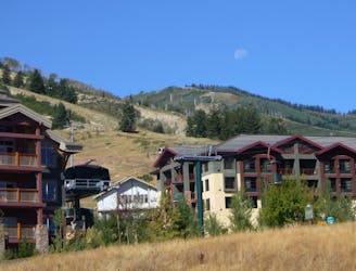
2.8 km away
Hike the slopes of Deer Valley Resort to the panoramic summit of Bald Mountain.
Moderate Hiking
2.8 km away
Hike through forest and along grassy ski slopes to the summit of Bald Mountain in Deer Valley Resort.
Moderate Hiking
2.9 km away
Hiker-only trail to the top of Flagstaff Mountain in Deer Valley Resort.
Moderate Hiking
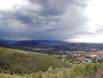
4.2 km away
Short but steep forest trail on the edge of Park City to an overlook of the resort and town.
Moderate Hiking
5.8 km away
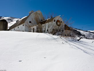
Easy walk along a paved path, passing a historic farm building and a trickling creek.
Easy Hiking
8.3 km away

Often called the best hike in Park City, Fantasy Ridge is an adventurous traverse of an exposed ridgeline that leads to the highest point in Park City.
Moderate Hiking
14 routes · Hiking