831 m away
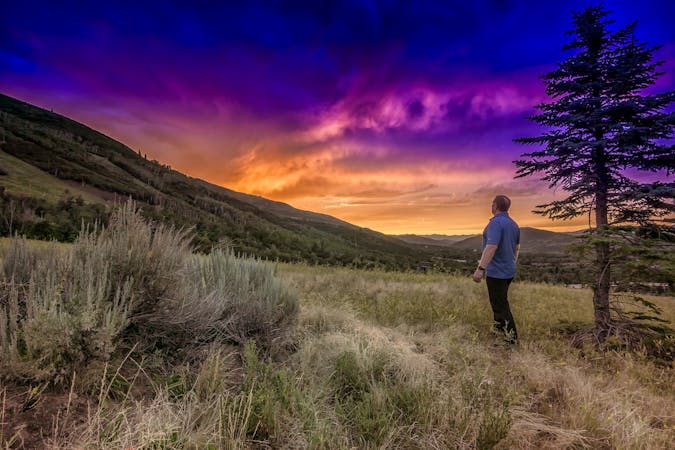
Spiro-Armstrong Loop
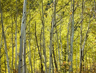
Meander through aspen groves and pine glades in a quiet canyon on Park City Mountain Resort.
Moderate Hiking
- Distance
- 15 km
- Ascent
- 523 m
- Descent
- 521 m
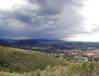
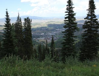
A scenic climb up the slopes of Park City Mountain Resort.
Hiking Moderate

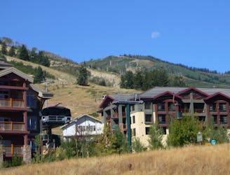
Jenni’s Trail begins from the main base area of Park City Mountain Resort. You’ll find the trailhead sign pointing to a paved path along Drift Road near the parking lot. The pavement lasts only a short while before a wide dirt path takes over, and eventually becomes packed dirt singletrack for the majority of the trail.
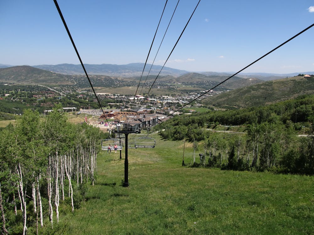
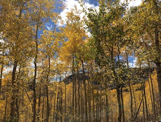
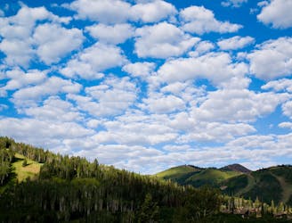
The trail travels through shady aspen groves and grassy ski slopes, in and out of the shade, with great vantage over the valley below. The route is almost entirely uphill, climbing 1,300 feet in about 5 miles. You can turn around at any point to shorten the hike, but of course the higher you climb, the better the views become. The end of Jenni’s is at the top of Payday Express Lift, which you can ride down if you wish to save your legs the steep descent.
Note that Jenni’s Trail is shared with mountain bikes. The lower mile and a half is designated for uphill riding only, which is nicer for hiking because the bike traffic moves more slowly. On Upper Jenni’s, above the junction with CMG Trail, riders can go downhill as well.
Sources: http://www.thelowellparkcity.com/blog/top-6-hiking-trails-in-park-city https://www.visitparkcity.com/blog/post/five-park-city-hikes-with-the-best-nature-views/ https://mtnhomeparkcity.com/jennis-trail-park-city/
Moderate
Hiking along trails with some uneven terrain and small hills. Small rocks and roots may be present.

The path is on completely flat land and potential injury is limited to falling over.
Close to help in case of emergency.
831 m away
Meander through aspen groves and pine glades in a quiet canyon on Park City Mountain Resort.
Moderate Hiking
841 m away
Hiker-only trail with views over Park City
Moderate Hiking
1.8 km away

Uphill jaunt through hillside forest over Park City
Moderate Hiking
2.5 km away
Short but steep forest trail on the edge of Park City to an overlook of the resort and town.
Moderate Hiking
3 km away
A scenic mountainside traverse linking Deer Valley and Park City Resorts.
Moderate Hiking
3.7 km away
Hiker-only trail to the top of Flagstaff Mountain in Deer Valley Resort.
Moderate Hiking
4 km away
Hike the slopes of Deer Valley Resort to the panoramic summit of Bald Mountain.
Moderate Hiking
4 km away
Hike through forest and along grassy ski slopes to the summit of Bald Mountain in Deer Valley Resort.
Moderate Hiking
4.1 km away
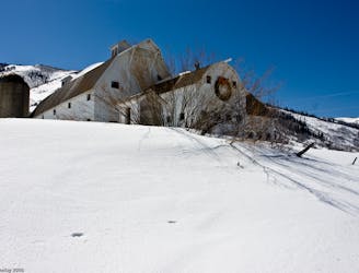
Easy walk along a paved path, passing a historic farm building and a trickling creek.
Easy Hiking
6.5 km away

Often called the best hike in Park City, Fantasy Ridge is an adventurous traverse of an exposed ridgeline that leads to the highest point in Park City.
Moderate Hiking
14 routes · Hiking