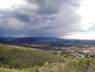
1.7 km away
Iron Canyon
Short but steep forest trail on the edge of Park City to an overlook of the resort and town.
Moderate Hiking
- Distance
- 3.1 km
- Ascent
- 279 m
- Descent
- 279 m
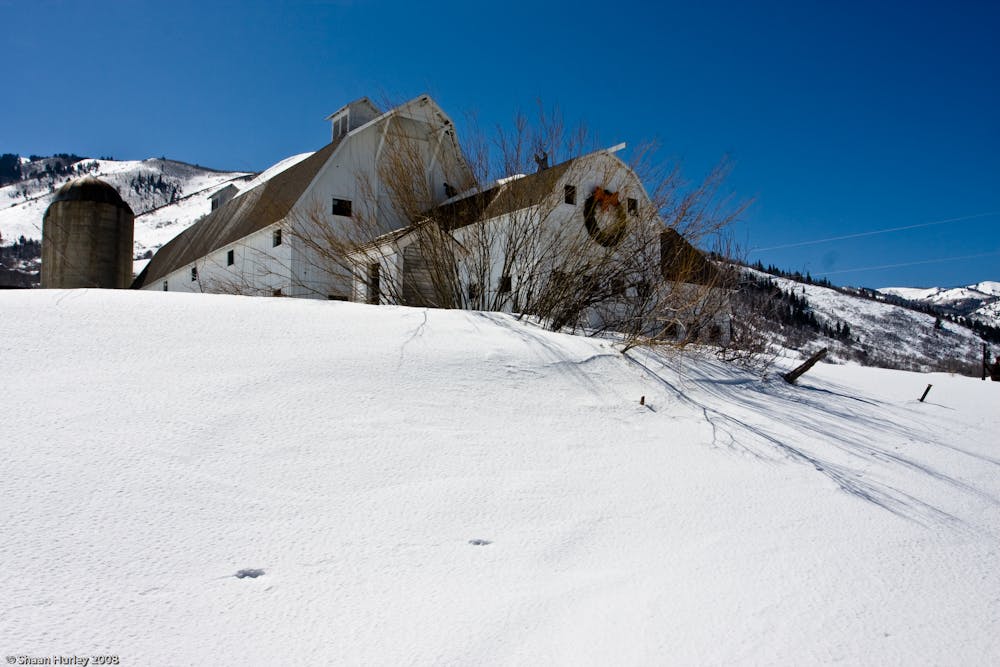
Easy walk along a paved path, passing a historic farm building and a trickling creek.
Hiking Easy

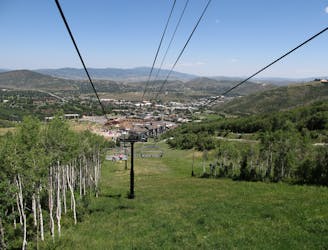
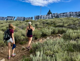
Farm Trail is a paved path near Highway 224, in between Canyons Village and Park City Mountain Base Area. This part of the valley is especially narrow and scenic, with Quarry Mountain rising on one side and Iron Mountain on the other. It is the site of the McPolin Farmstead, a historic dairy farm with restored buildings from the 1920s. You can explore them on Farm Trail as well as the surrounding scenery.
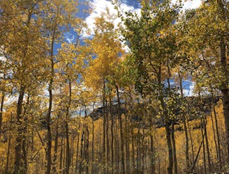
A short nature trail loop, which is not paved, leads into a forest adjacent to the fields, and the clear water of McLeod Creek runs next to Farm Trail for some distance.
The trail is about 2 miles point to point, but you can start at either end and hike any distance before turning around. You can also make a longer loop with nearby paths in the valley, like McLeod Creek Trail on the opposite side of the highway.
Sources: http://www.parkcityreservations.com/blog/post/the-best-hiking-trails-in-park-city https://www.visitparkcity.com/blog/post/five-park-city-hikes-with-the-best-nature-views/ https://en.wikipedia.org/wiki/McPolinFarmstead http://map.mountaintrails.org/
Easy
Walking along a well-kept trail that’s mostly flat. No obstacles are present.

The path is on completely flat land and potential injury is limited to falling over.
Close to help in case of emergency.
1.7 km away
Short but steep forest trail on the edge of Park City to an overlook of the resort and town.
Moderate Hiking
3 km away
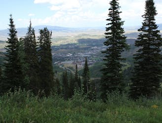
Hike up a ridgeline through aspens and pines to a view over Canyons Resort.
Moderate Hiking
3.3 km away
Hiker-only trail with views over Park City
Moderate Hiking
3.3 km away
Meander through aspen groves and pine glades in a quiet canyon on Park City Mountain Resort.
Moderate Hiking
3.4 km away

Often called the best hike in Park City, Fantasy Ridge is an adventurous traverse of an exposed ridgeline that leads to the highest point in Park City.
Moderate Hiking
4.1 km away
A scenic climb up the slopes of Park City Mountain Resort.
Moderate Hiking
5.8 km away

Uphill jaunt through hillside forest over Park City
Moderate Hiking
7 km away
A scenic mountainside traverse linking Deer Valley and Park City Resorts.
Moderate Hiking
7.8 km away
Hiker-only trail to the top of Flagstaff Mountain in Deer Valley Resort.
Moderate Hiking
8.1 km away
Hike the slopes of Deer Valley Resort to the panoramic summit of Bald Mountain.
Moderate Hiking
14 routes · Hiking