2.5 km away
Fantasy Ridge

Often called the best hike in Park City, Fantasy Ridge is an adventurous traverse of an exposed ridgeline that leads to the highest point in Park City.
Moderate Hiking
- Distance
- 8.5 km
- Ascent
- 668 m
- Descent
- 668 m
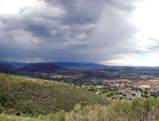
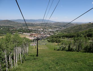
Hike up a ridgeline through aspens and pines to a view over Canyons Resort.
Hiking Moderate

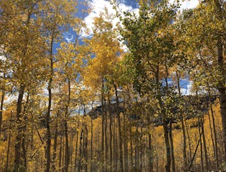
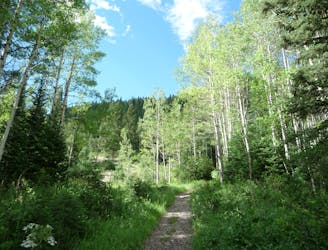
Rob’s Trail begins from a small roadside parking area on Bear Hollow Drive, near the Utah Olympic Park. It enters the forest and heads uphill immediately, climbing through a few sunny patches, but mostly staying in the shady forest on its way to the ridge crest. The aspen trees become taller and denser near the top, which makes an especially colorful spectacle in fall.
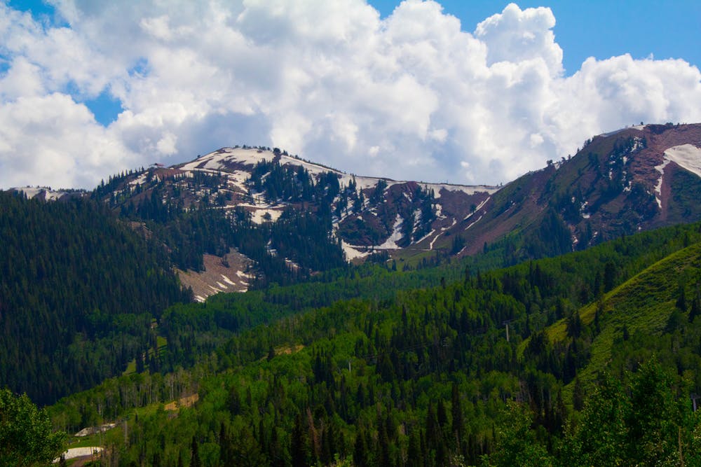
For the first 0.8 miles you may have to contend with downhill mountain bikers, but after Rob’s trail takes a sharp right to veer away from Rosebud’s Heaven Trail and follow the ridge crest, it is uphill only for bikes. It is then more pleasant for hiking because bikers go slowly. This portion of the trail is less steep as well, as it traverses the forested slope just north of the crest.
Eventually, Rob’s Trail meets the saddle between this ridgeline and the next, where it crosses from the north to south aspect of the ridge. Suddenly the forest gives way to scrubby meadows and great views over the Canyons area of Park City Resort. Rob’s Trail ends at the junction with Ambush trail after just over 2 miles from the trailhead. You can either turn around there or continue on Ambush to link up with other trails and higher viewpoints on the mountain.
Sources: https://www.stayparkcity.com/blog/top-park-city-hikes/ http://map.mountaintrails.org/
Moderate
Hiking along trails with some uneven terrain and small hills. Small rocks and roots may be present.

The path is on completely flat land and potential injury is limited to falling over.
Close to help in case of emergency.
2.5 km away
Often called the best hike in Park City, Fantasy Ridge is an adventurous traverse of an exposed ridgeline that leads to the highest point in Park City.
Moderate Hiking
3 km away
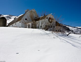
Easy walk along a paved path, passing a historic farm building and a trickling creek.
Easy Hiking
4.6 km away
Short but steep forest trail on the edge of Park City to an overlook of the resort and town.
Moderate Hiking
6.3 km away
Hiker-only trail with views over Park City
Moderate Hiking
6.3 km away
Meander through aspen groves and pine glades in a quiet canyon on Park City Mountain Resort.
Moderate Hiking
7.1 km away
A scenic climb up the slopes of Park City Mountain Resort.
Moderate Hiking
8.1 km away
A steep hike through a forested canyon to a high pass, with the option to continue along the ridge to a panoramic summit.
Difficult Hiking
8.8 km away

Uphill jaunt through hillside forest over Park City
Moderate Hiking
8.8 km away
The Days Fork trail is a little over 7 miles round trip with some good elevation gain through a heavily wooded canyon that opens up into the Alpine as you gain the Little Cottonwood Ridge.
Difficult Hiking
8.8 km away
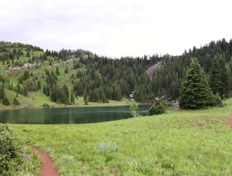
This is a lovely moderate hike through some large aspen groves reaching a quiet little lake.
Moderate Hiking
14 routes · Hiking

10 routes · Hiking

10 routes · Hiking