8 km away
Gobblers Knob

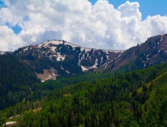
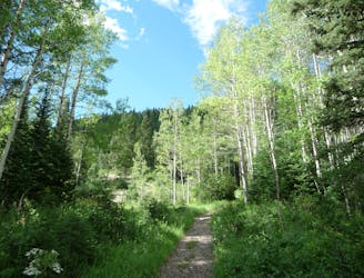
The trail up Gobblers Knob is a Wasatch classic that offers moderate hiking through aspen groves and into the open alpine.
Difficult Hiking
- Distance
- 11 km
- Ascent
- 927 m
- Descent
- 927 m
A steep hike through a forested canyon to a high pass, with the option to continue along the ridge to a panoramic summit.
Hiking Difficult

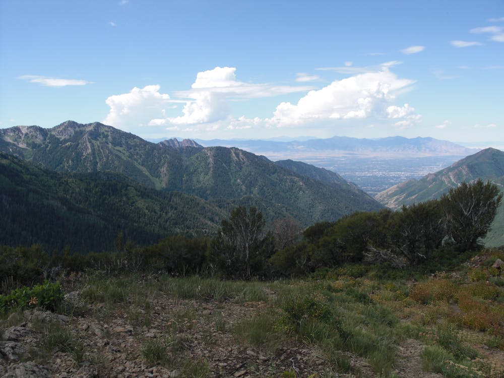
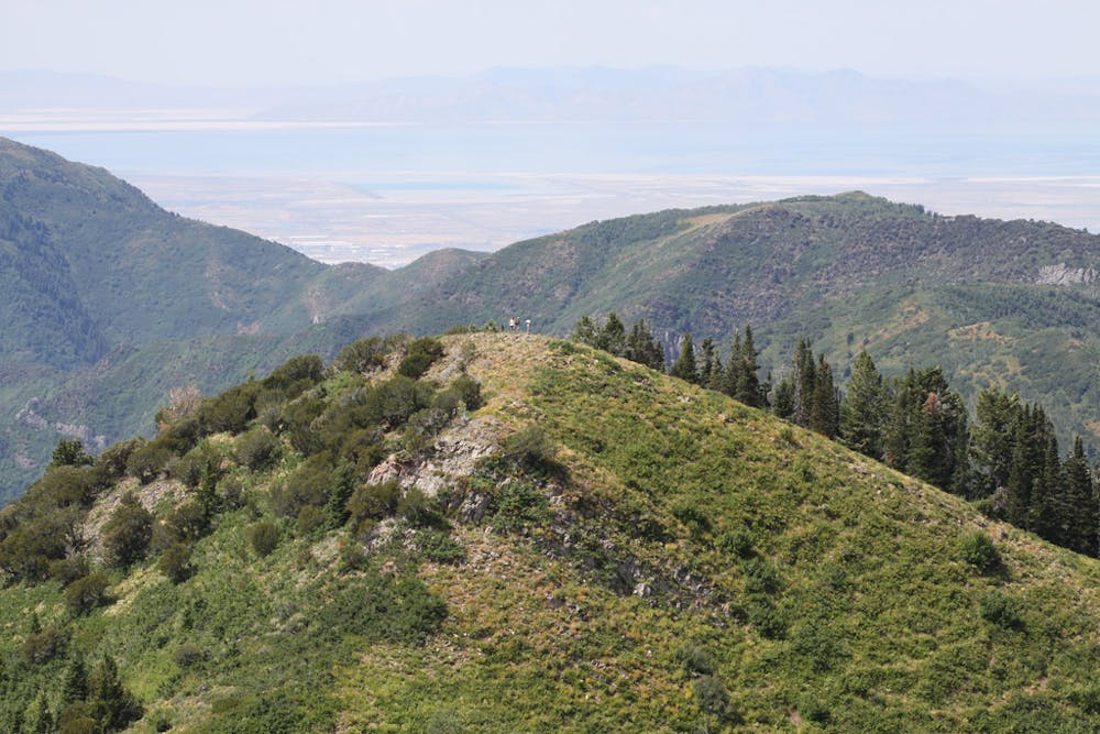
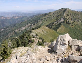
Lambs Canyon Trail on its own is a fairly short, moderately strenuous, but very rewarding hike to views over Millcreek Canyon from a high pass. For an even greater reward and a tougher hike, you can continue 0.75 miles farther along the ridgeline to Millvue Peak. Its summit grants nearly 360-degree views of the northern and central Wasatch. On a clear day you can see all the way across Salt Lake Valley to the Oquirrh Mountains in the west, and over Park City to the Uinta Mountains in the east.
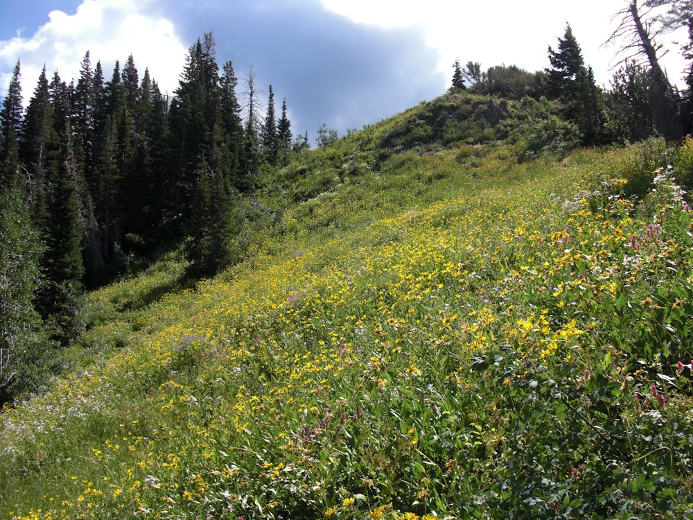
This hike is great any time of year, whether you stick with the Lambs Canyon portion or continue to the peak. The canyon is shady throughout summer when wildflowers bloom, aspen leaves are brilliant in the fall, and winter conditions are perfect for snowshoeing or skiing.
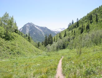
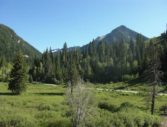
Begin from the signed trailhead for Lambs Canyon along Lambs Canyon Road. The trail first crosses a flowing stream then ascends the forested canyon. This is great moose habitat, so watch for them. Glance over your shoulder as you cross clearings now and then, and you might catch beautiful views of the valley unfolding below. The trail takes one big, steep switchback in its final climb to Lambs Pass on the ridgeline. Once on top, you are standing on the divide between Lambs Canyon and Millcreek Canyon.
The pass is quite brushy with young aspen and oak, but you can still get glimpses over the foliage of the mountains and valleys that surround. For even better views, follow the trodden path east along the ridge to the panoramic summit of Millvue Peak. From this point, you may notice that the spot you stand is not actually the highest point along the ridgeline, however. It is possible to continue eastward along the spine to reach two even taller summits, but most people turn around at this first one.
Sources: http://www.parkcityreservations.com/blog/post/the-best-hiking-trails-in-park-city https://www.summitpost.org/millvue-peak/700670
Difficult
Hiking trails where obstacles such as rocks or roots are prevalent. Some obstacles can require care to step over or around. At times, the trail can be worn and eroded. The grade of the trail is generally quite steep, and can often lead to strenuous hiking.

The trail contains some obstacles such as outcroppings and rock which could cause injury.
Away from help but easily accessed.
8 km away
The trail up Gobblers Knob is a Wasatch classic that offers moderate hiking through aspen groves and into the open alpine.
Difficult Hiking
8 km away
This is a 7 mile loop with 2,000 feet of elevation that passes through thick woods and opens up with breathtaking views across the canyon.
Difficult Hiking
8 km away
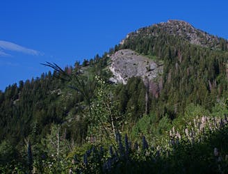
Mount Raymond is one of the tallest and most prominent peaks along the Big Cottonwood/Millcreek ridge.
Severe Hiking
8 km away
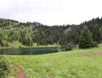
This is a lovely moderate hike through some large aspen groves reaching a quiet little lake.
Moderate Hiking
8 km away
A very steep hike to one of the most prominent peaks in Big Cottonwood Canyon
Extreme Hiking
8 km away
This is an easy hike up an old road grade through a beautiful drainage lined by rugged alpine peaks.
Moderate Hiking
8 km away
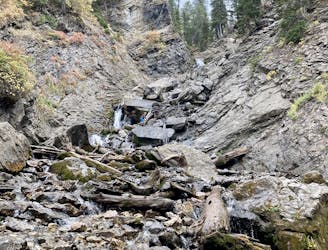
Scenic hike to a small waterfall in a narrow canyon.
Moderate Hiking
8.1 km away
Hike up a ridgeline through aspens and pines to a view over Canyons Resort.
Moderate Hiking
8.3 km away

Often called the best hike in Park City, Fantasy Ridge is an adventurous traverse of an exposed ridgeline that leads to the highest point in Park City.
Moderate Hiking
8.9 km away
The Days Fork trail is a little over 7 miles round trip with some good elevation gain through a heavily wooded canyon that opens up into the Alpine as you gain the Little Cottonwood Ridge.
Difficult Hiking
14 routes · Hiking

10 routes · Hiking

10 routes · Hiking

10 routes · Alpine Climbing · Hiking