1.5 km away
Grand View Point
Enjoy a never-ending array of stunning views along this exposed hike.
Moderate Hiking
- Distance
- 2.8 km
- Ascent
- 69 m
- Descent
- 69 m
The shortest but steepest route from the mesa top to the White Rim Road.
Hiking Difficult

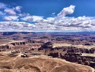
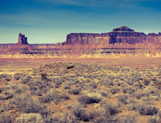
The Island in the Sky is guarded by sheer drop-offs on every side, but a handful of trails find breaks in the cliffs to descend toward the canyons. All of these trails are precipitous and arduous, first dropping 1000 feet from the rim, then crossing a parched plateau to join the White Rim Road 4WD trail.
Gooseberry Trail is the steepest of all these top-down trails, but it makes the shortest route to the White Rim Road, at less than 3 miles one-way. Once at the road, hikers may continue on to other destinations, or turn around and hike back up. There is no water along this hike, and little shade, so don’t let the distance fool you into underpacking. You’ll need plenty of water and food to fuel this intense desert hike.
It begins the same as the easy walk to White Rim Overlook, but Gooseberry Trail soon diverges and reaches the rim. Peeking over the edge reveals a C-shaped chute with vertical rock on every visible side, with rocky ledges far below. By continuing just farther than appears to be safe, however, you’ll see that a slope of rubble fills the nearest side of the chute, providing foundation for a trail.
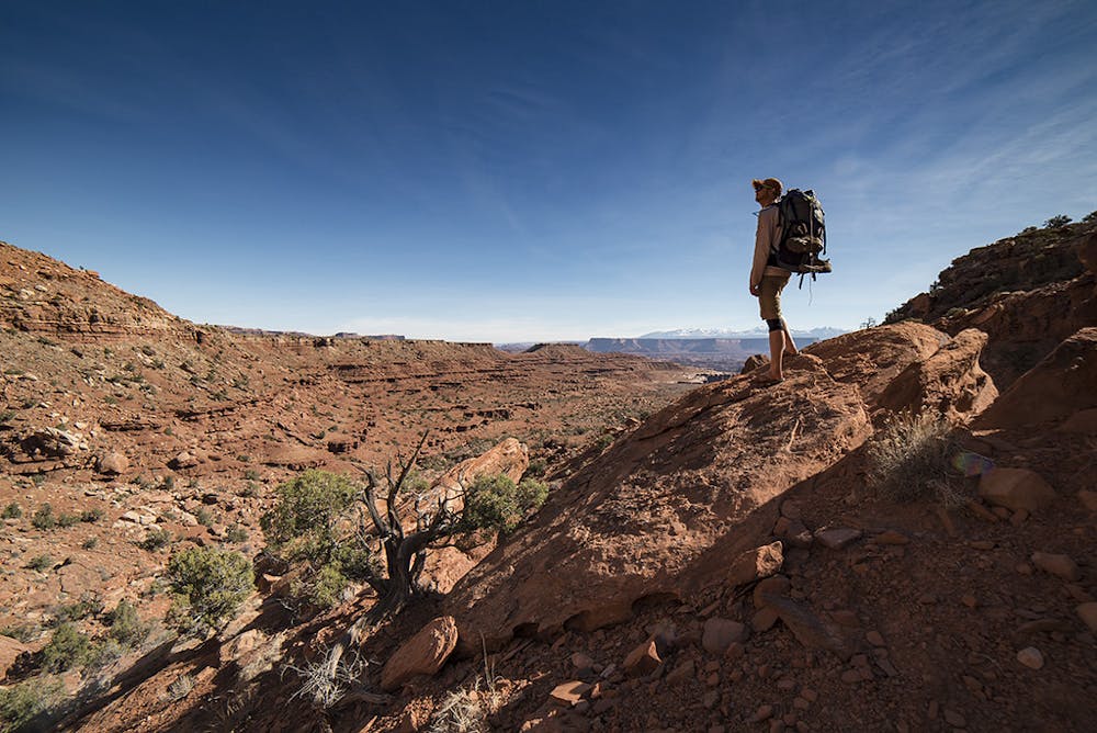
As you would expect, the trail is incredibly steep, but it’s well-constructed and wide enough in most places. Watch for cairns to aid in navigation, because losing the trail will certainly put you in impassable terrain. As you zigzag ever downward, in only a few places might you feel some exposure over short drops. Just watch your footing and move steadily. Don’t forget to pause every so often and take in the surroundings. Looking out at the canyons is like peering between solid-rock curtains, and upward is a telescopic view of the sky.
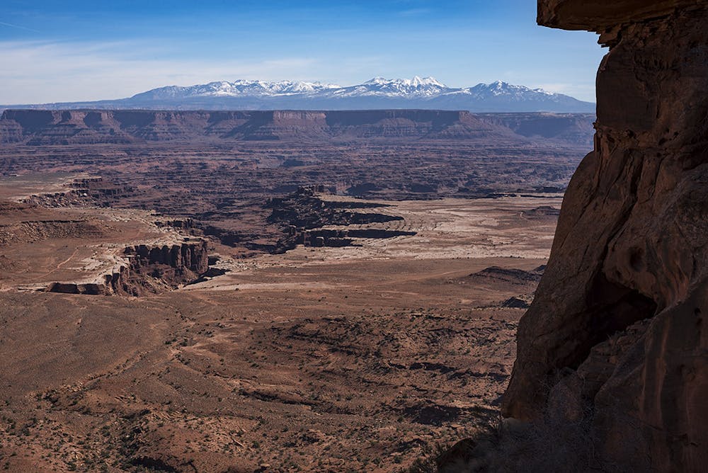
The trail nears the bottom of the cliffs after about one mile of descent. It then follows a dry, rocky wash to continue downward at a lesser gradient. The wash has some low rock bands of its own, as well as boulders and some pour overs to negotiate, but nothing too tricky. Eventually the landscape opens up, and it’s bound to be sunny and warm the rest of the way to White Rim Road.
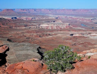
The road is the end of the trail, but you should definitely continue a short distance across the road to stand at the head of Gooseberry Canyon, which begins with a sheer dryfall. You can walk around fairly easily on the flat slickrock rim to find a better view. The when you’re ready, simply turn around and embark on the journey upward.
Sources: https://www.nps.gov/cany/planyourvisit/hiking.htm https://www.gjhikes.com/2014/12/gooseberry-trail.html https://www.americansouthwest.net/utah/canyonlands/gooseberry-trail-monument-basin.html
Difficult
Hiking trails where obstacles such as rocks or roots are prevalent. Some obstacles can require care to step over or around. At times, the trail can be worn and eroded. The grade of the trail is generally quite steep, and can often lead to strenuous hiking.

Some trail sections have exposed ledges or steep ascents/descents where falling could cause serious injury.
Little chance of being seen or helped in case of an accident.
1.5 km away
Enjoy a never-ending array of stunning views along this exposed hike.
Moderate Hiking
3.8 km away
A relaxed hike to a breathtaking viewpoint over Canyonlands.
Easy Hiking
3.8 km away
A full-day trek from the Island in the Sky, down to the White Rim Road, and back up.
Difficult Hiking
7.5 km away
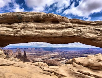
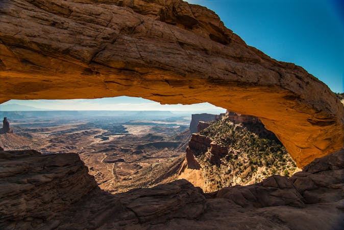
A short, easy hike to a stunning natural arch!
Easy Hiking
8.3 km away
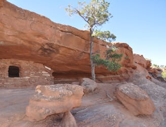
Short scrambles on two slickrock domes, with panoramic views and ancient ruins.
Moderate Hiking
14 routes · Hiking
8 routes · Hiking

10 routes · Hiking