No wagons rumble through this canyon anymore, but Lower Muley Twist remains a key route for backcountry travelers in the remote southern reaches of Capitol Reef National Park. In this area, you can walk in the historic tracks of pioneers while gazing into eons of geologic time.
There are a few ways to get into Muley Twist Canyon and several variations for hiking it. The route mapped here is a loop from the Post Corral trailhead. It takes the Post Cutoff Trail to access the southern portion of Lower Muley Twist, which is commonly deemed the most impressive reach. The loop then returns through the much broader canyon of Grand Gulch. This makes a respectable day hike or overnight trip. Note that backcountry permits are required for all camping in the park.
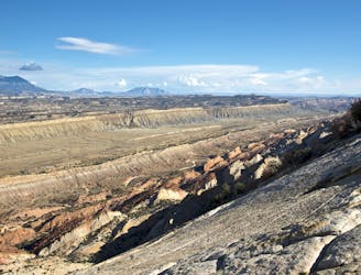
The loop can go in either direction but is mapped here counterclockwise, taking on the somewhat harrowing Post Cutoff Trail first. This cairned route goes up and over the Waterpocket Fold on slickrock slabs with significant exposure. It’s generally safe enough to do with heavy packs and tends to be easier in the uphill direction than down. It does require sure footing and abundant caution, however, and shouldn’t be attempted when wet or icy. Once at the crest of the fold, you’ll find reward in the expansive views and then with relatively easy hiking for the remainder of the loop.
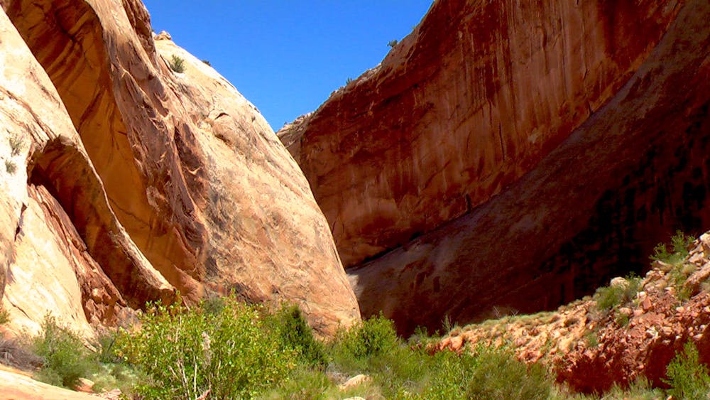
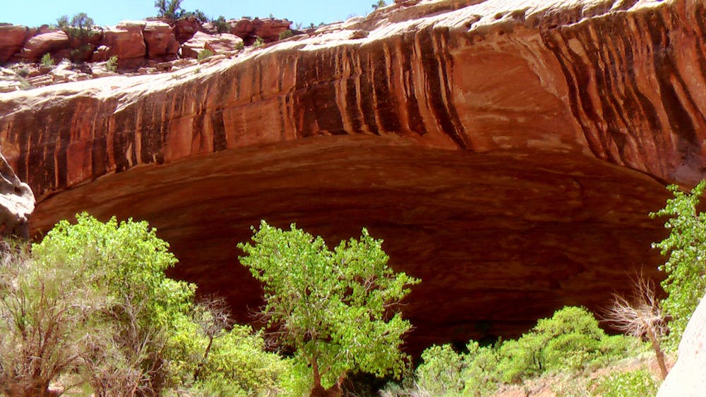
Descending into Muley Twist Canyon, varnish-streaked walls rise on one side, and the escarpment is undercut in several places by massive alcoves. In at least one of these alcoves, you’ll find evidence of travelers dating back a century or more. Etchings on the walls and rusty artifacts are abundant in a sand-filled alcove called Cowboy Cave. It’s important to leave these relics as you find them and don’t add to any markings on the canyon walls. Doing so is illegal and also disrespectful to the history.
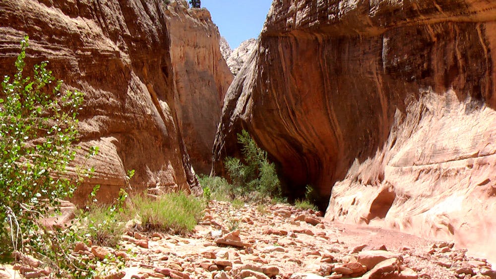
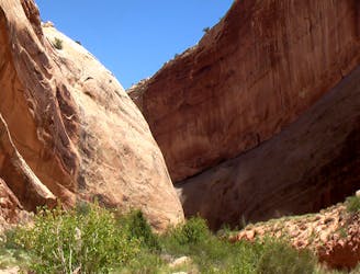
After many twists and turns among the striated rock walls, the canyon turns sharply to the east and necks down to its narrowest section. This is a gray and gold-colored hallway of rock that soon empties into the sunny valley of Grand Gulch. North through Grand Gulch leads back to Post Corral, but a brief detour south (mapped here) leads to a water source that may be crucial for backpackers. These are the Muley Tanks—potholes near the base of the Fold. Exploring the slickrock just south of the tanks reveals an oddity called the Hamburger Rocks, which are squat hoodoos resembling burger patties.
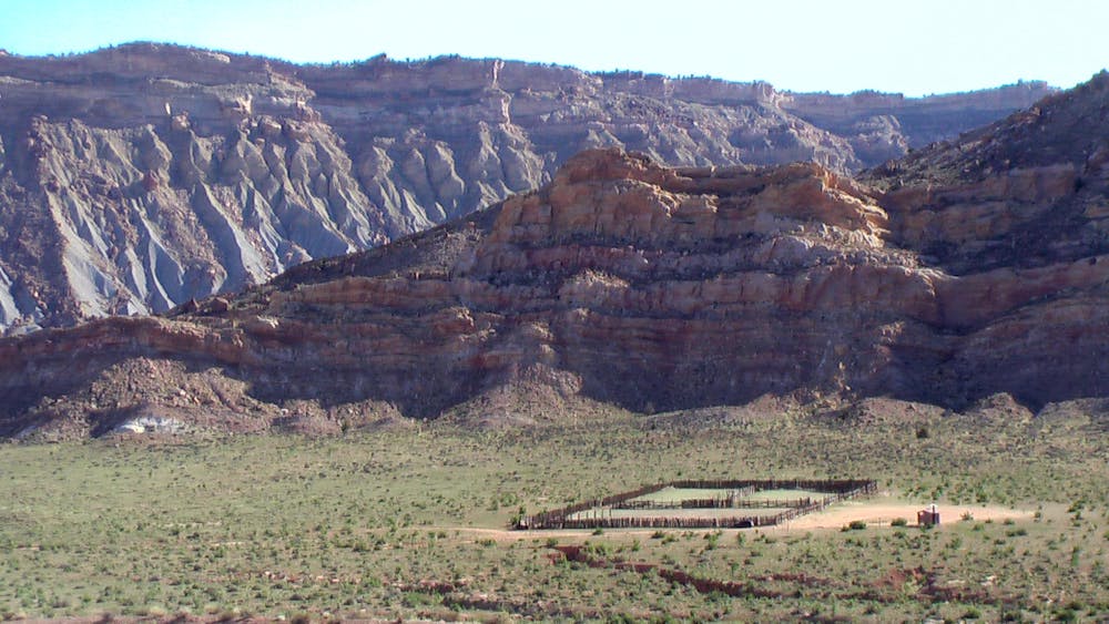
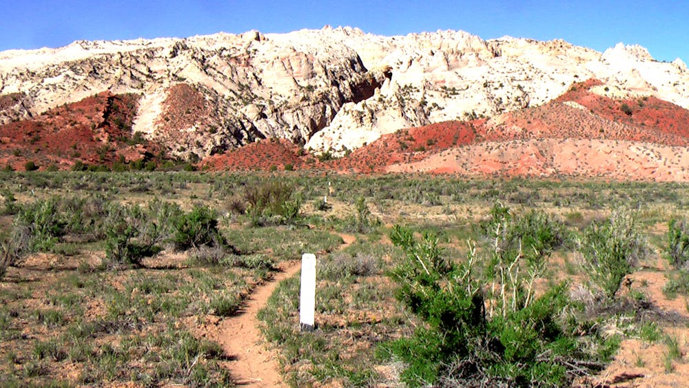
Heading back northward, the trail to Post Corral wanders in and out of the wash and over low hills between the meanders. Take care to stay on the trail or in the wash so as not to erode additional paths in the cryptobiotic soils. Compared to inside Muley Twist, views out here are more subdued, but the sloping front of the Waterpocket Fold is ever-present alongside, and various ravines within it could be explored as side trips. On a hot day, you’ll likely want to get this portion over with quickly, though, because there is no shade. Another water source can be found at Cottonwood Tanks, near the base of the Fold about 1.5 miles south of the Post trailhead, if need be.
Sources:
https://www.nps.gov/care/planyourvisit/lowermuley.htm
https://liveandlethike.com/2015/03/30/lower-muley-twist-canyon-and-hamburger-rocks-capitol-reef-national-park-ut/