0 m away
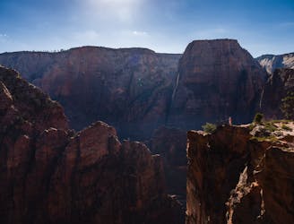
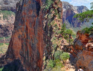
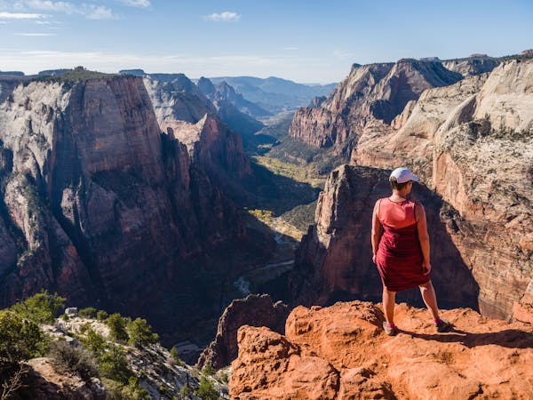
Observation Point
This hike climbs four steep miles to a stunning overlook.
Difficult Hiking
- Distance
- 11 km
- Ascent
- 741 m
- Descent
- 741 m
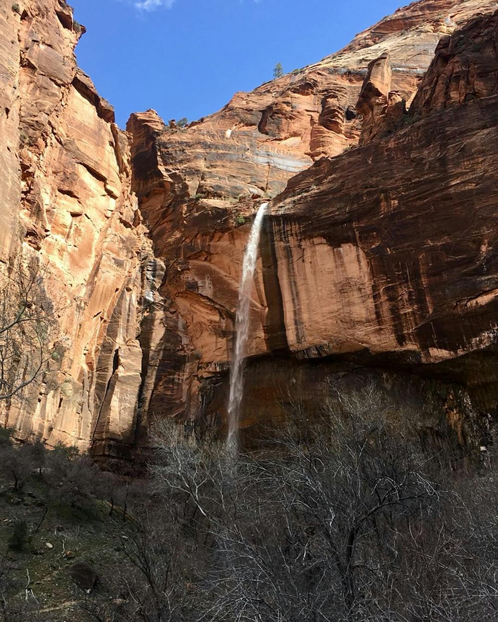
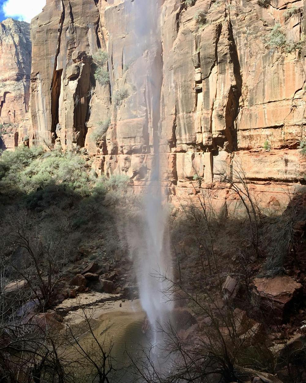
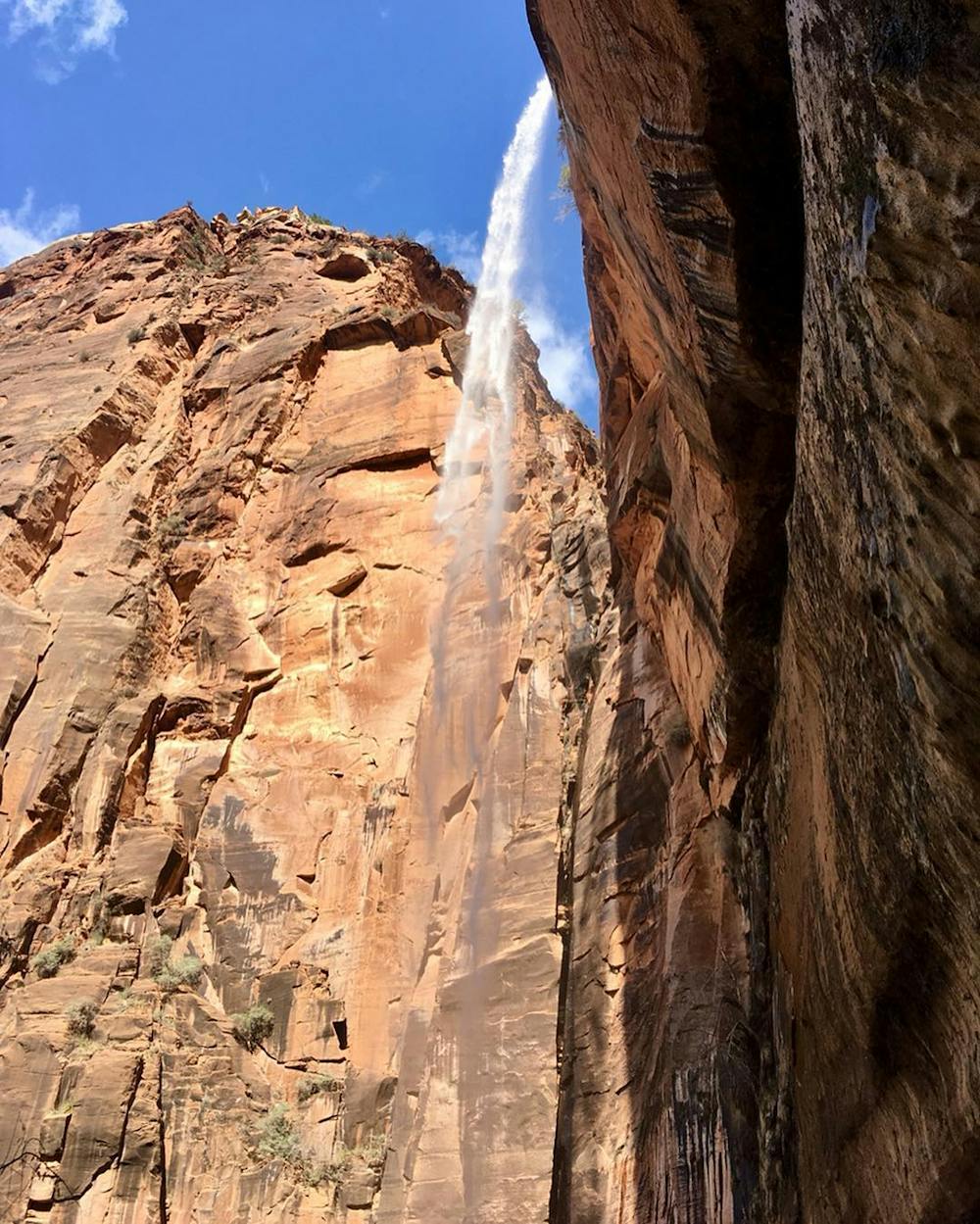
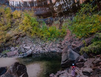
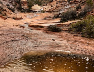
An otherworldly dripping springs.
Hiking Easy

The Weeping Rock hike begins at the Weeping Rock trailhead (TH). In Zion National Park, hikers use the free shuttle to get to many trailheads. The shuttles run most of the year, excepting January 1st – February 15th. Check online before planning your trip to Zion, there are periodic changes to the schedule. The shuttle stop for this TH is #6: The Grotto.
This hike is simply beautiful. It is not notable as an adventurous or lengthy route, it is admittedly and predictably crowded... and yet, it is most definitely worth the effort to make this less-than-1/2-mile trek happen. If so inclined, the route's brevity is perfectly suited as an add-on when hiking to either Observation Point or Hidden Canyon. If that is the idea, schedule the diversion to Weeping Rock on the way back from either hike. If you choose to hike Weeping Rock after your first hike, there will be fewer people on the trail in the later part of the day.
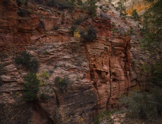
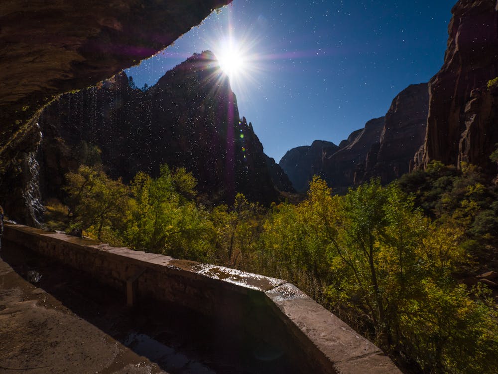
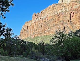
The hike, itself, is an easy stroll on a paved park path. The sheer value in the hike lies in the stark contrast to the majority of the surrounding environment. Whereas Zion is primarily desert and rock, this little alcove in a protected, shaded canyon is a refuge of coolness.
The presence of constantly dripping water from Echo Canyon allows delicate plants to thrive. Take the time to meander slowly and read the interpretive signs about the plant life.
The sound of trickling water is soothing and encourages hot and tired hikers to relax and refresh after a longer outing in the harsh desert.
Whether the goal is a short-and-sweet, relaxing outing, or a refreshing end to a long adventure, Weeping Rock is the perfect destination.
Sources: https://www.nps.gov/zion/planyourvisit/shuttle-system.htm
Easy
Walking along a well-kept trail that’s mostly flat. No obstacles are present.

The path is on completely flat land and potential injury is limited to falling over.

Away from help but easily accessed.
0 m away
This hike climbs four steep miles to a stunning overlook.
Difficult Hiking
0 m away
Hidden Canyon combines chains, scrambling and an arch.
Difficult Hiking
1.7 km away
The West Rim Trail takes hikers away from the crowds.
Difficult Hiking
1.7 km away
Spectacular journey from high elevation to low among Zion National Park's vertical canyon walls.
Difficult Hiking
1.7 km away
The Emerald Pools provide a cool, refreshing oasis.
Moderate Hiking
1.7 km away
Zion National Park's iconic vertigo-inducing hike to a heavenly view.
Severe Hiking
1.8 km away
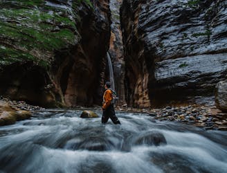
One-of-a-kind hike through a flowing stream, between soaring sandstone walls, in one of the world's most dramatic slot canyons
Moderate Hiking
2.7 km away
Short, easy trail between Zion Lodge and the Angels Landing Trail in the main area of Zion National Park.
Easy Hiking
5.8 km away
Easy off-trail adventure in a gorgeous side canyon of Zion National Park.
Difficult Hiking
6.3 km away

Short and sweet hike to sweeping views of lower Zion Canyon.
Moderate Hiking
11 routes · Hiking

25 routes · Alpine Climbing · Hiking

10 routes · Hiking

10 routes · Hiking

63 routes · Alpine Climbing · Hiking