2.4 km away
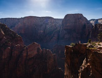
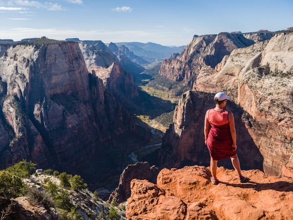
Canyon Overlook
Short and sweet hike to sweeping views of lower Zion Canyon.
Moderate Hiking
- Distance
- 1.6 km
- Ascent
- 72 m
- Descent
- 72 m
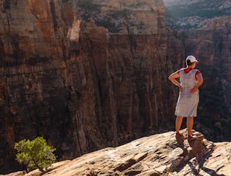
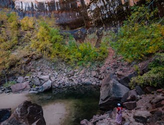
Easy off-trail adventure in a gorgeous side canyon of Zion National Park.
Hiking Difficult

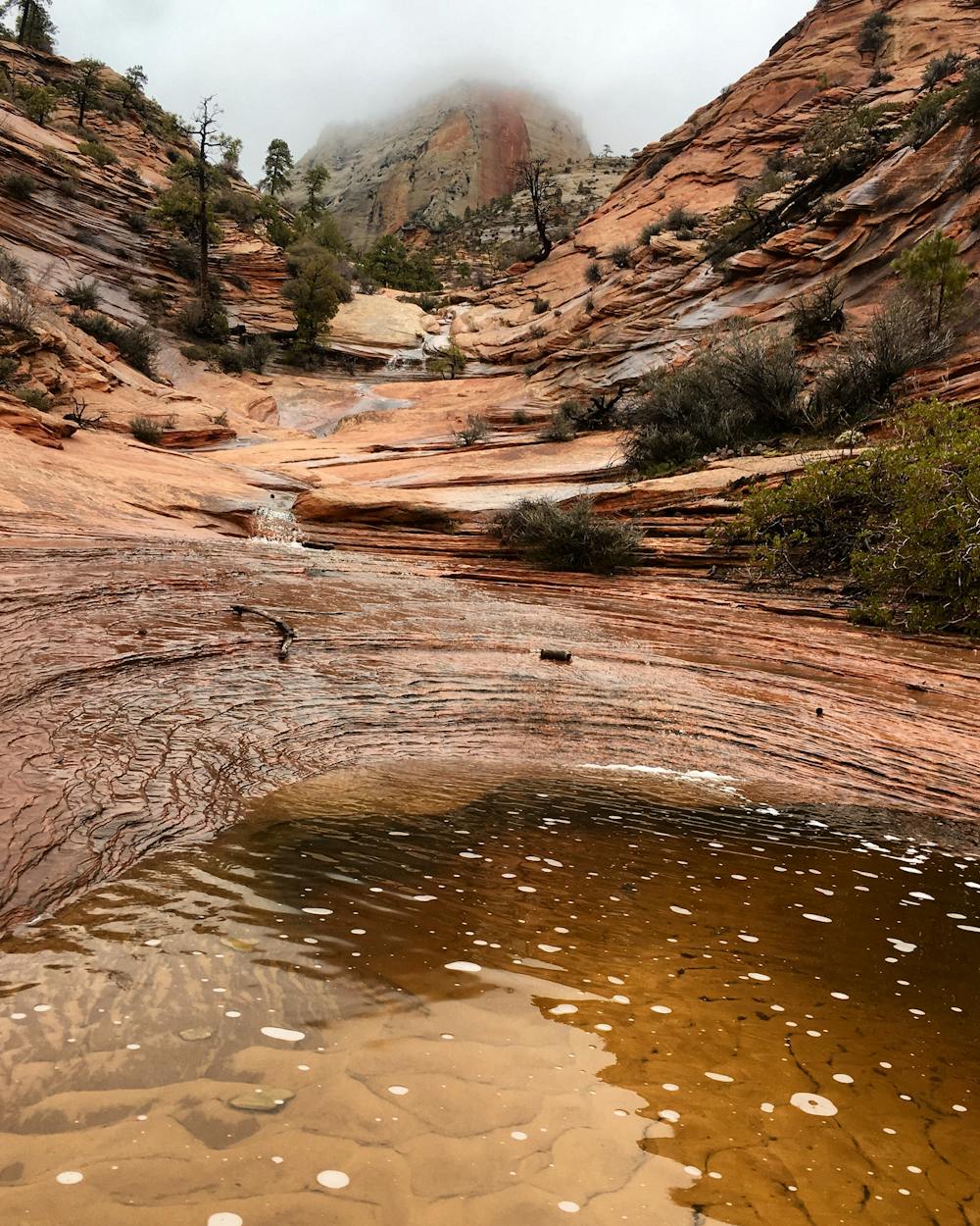
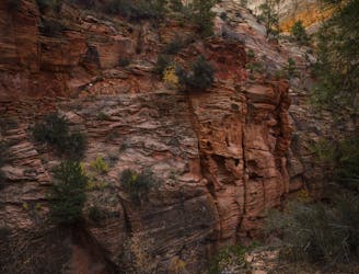
The route known as Many Pools in Zion National Park is not an official trail, but a short cross-country adventure that is easily accessible and suitable for families with children. It follows a steep drainage of slickrock warped by time and pockmarked by falling water. It’s named for the numerous potholes that dot the slope and hold water for most of the year, making habitat for frogs, tadpoles, and bugs that you’re likely to find along the way.
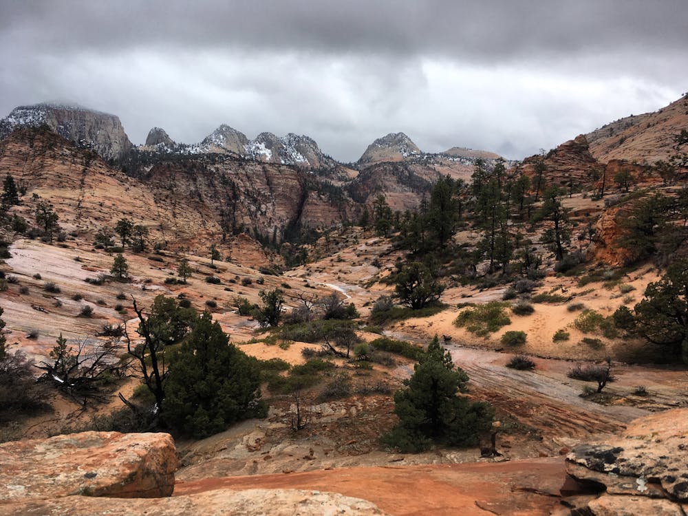
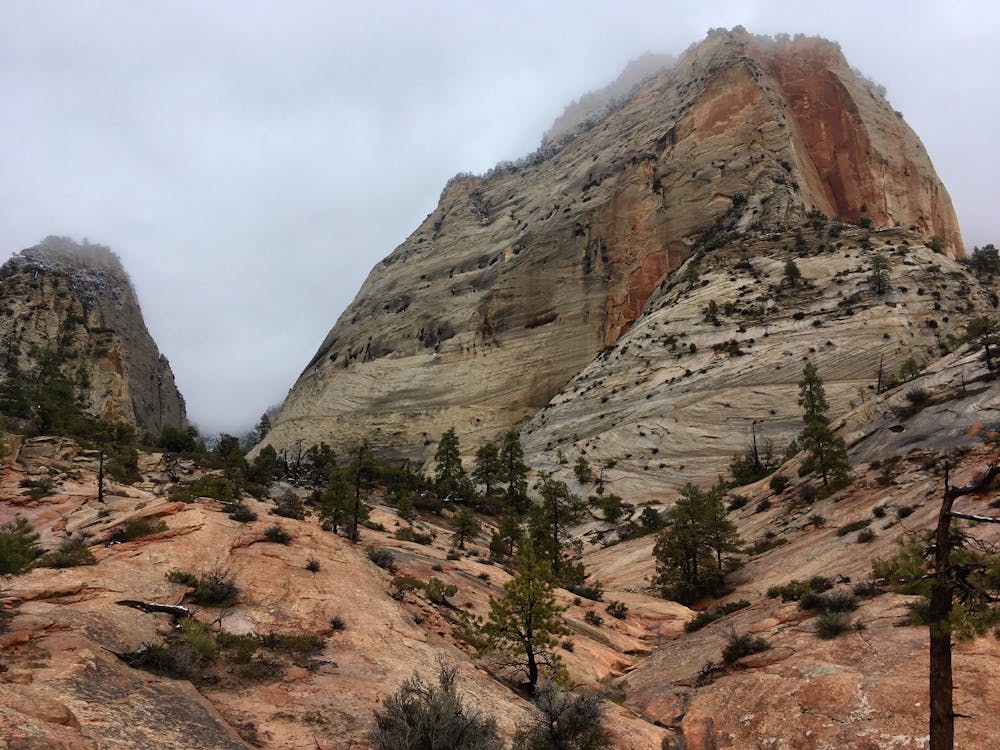
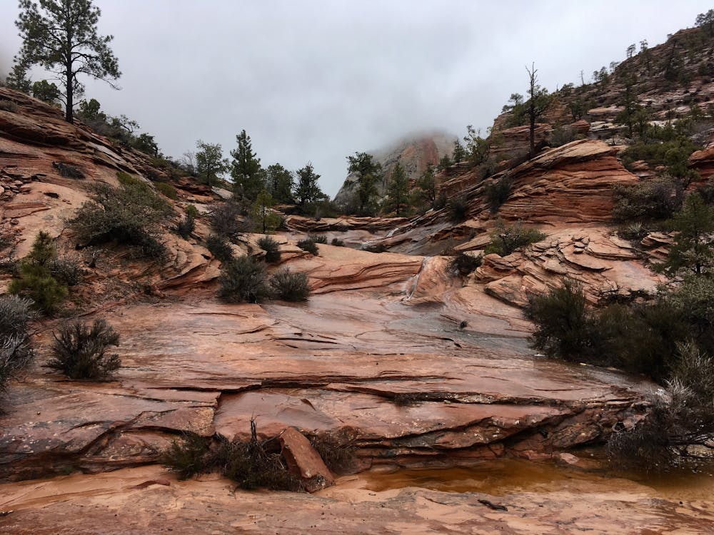
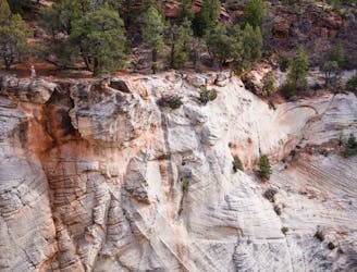
The hike is also an up-close tour of Zion’s geology. You will hike among many shades and textures of sandstone. In the walls that tower on all sides of this narrow valley, you can see striations cutting back and forth in patterns. These are the footprints of winds that blew sand around eons ago, piling them into dunes that later froze in time.
To find Many Pools, park at an obvious pullout on the outside of a curve, 2.3 miles east of the Mt. Carmel Tunnel exit and 0.8 miles east of the second, smaller tunnel. From there, walk about 100 yards farther, around the curve, and look for a faint path on the left leading down from the road. Follow this and begin hiking up the dry wash into a steep valley that soon unfolds ahead.
When the sand and gravel of the wash gives way to solid rock, keep hiking onward and upward. It gets steep, so take your time and look closely around you. The first pools are reached in less than a quarter mile. If these do not hold water, some deeper ones farther up may, so keep going. Approach each slowly for a chance at spotting canyon treefrogs before they leap into the water and hide. You may also see frog larvae, diving beetles, or even a crazy critter called tadpole shrimp, a kind of crustacean that looks like a miniature horseshoe crab, that thrive in these ephemeral pools.
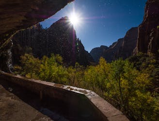
In about 0.7 miles you will reach a vertical alcove that is usually dry, but turns into a trickling waterfall after recent rain or snowmelt. Many turn around here, but there is more to see beyond. Getting past the alcove requires a short rock scramble, then continued steep hiking alongside more potholes and deep water grooves. The perspective grows better and better as you leave the canyon floor behind and the East Rim comes into better view. It is possible to reach the rim in a little over 2 miles one way, but the going only gets steeper and brushier. Expect bushwhacking, loose surfaces, and some route finding if you aim for the rim. Whenever you’ve had enough, simply retrace your steps back down to the road.
Difficult
Hiking trails where obstacles such as rocks or roots are prevalent. Some obstacles can require care to step over or around. At times, the trail can be worn and eroded. The grade of the trail is generally quite steep, and can often lead to strenuous hiking.

Some trail sections are extremely exposed where falling will almost certainly result in serious injury or death.

Close to help in case of emergency.
2.4 km away
Short and sweet hike to sweeping views of lower Zion Canyon.
Moderate Hiking
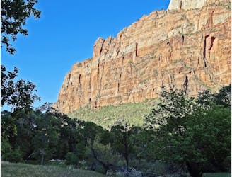
3.6 km away
Solitude and splendor from the east entrance of Zion National Park.
Moderate Hiking
4.9 km away
Short, easy trail between Zion Lodge and the Angels Landing Trail in the main area of Zion National Park.
Easy Hiking
5.3 km away
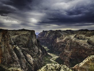
Spectacular journey from high elevation to low among Zion National Park's vertical canyon walls.
Difficult Hiking
5.3 km away
The West Rim Trail takes hikers away from the crowds.
Difficult Hiking
5.3 km away
The Emerald Pools provide a cool, refreshing oasis.
Moderate Hiking
5.3 km away
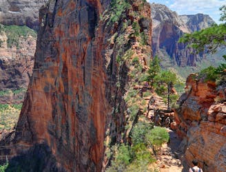
Zion National Park's iconic vertigo-inducing hike to a heavenly view.
Severe Hiking
5.8 km away
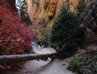
Hidden Canyon combines chains, scrambling and an arch.
Difficult Hiking
5.8 km away
This hike climbs four steep miles to a stunning overlook.
Difficult Hiking
5.8 km away
An otherworldly dripping springs.
Easy Hiking
11 routes · Hiking

25 routes · Alpine Climbing · Hiking

10 routes · Hiking

10 routes · Hiking
5 routes · Hiking

63 routes · Alpine Climbing · Hiking