3.6 km away
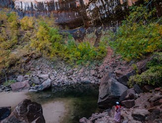
Many Pools
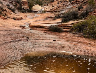
Easy off-trail adventure in a gorgeous side canyon of Zion National Park.
Difficult Hiking
- Distance
- 6.2 km
- Ascent
- 482 m
- Descent
- 482 m
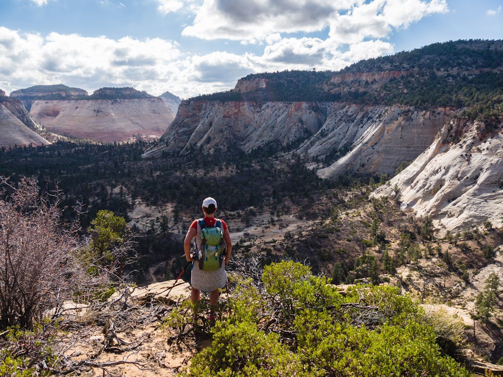
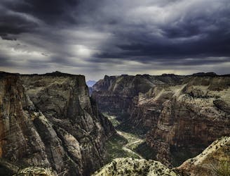
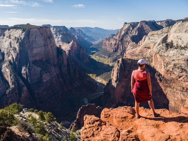
Solitude and splendor from the east entrance of Zion National Park.
Hiking Moderate

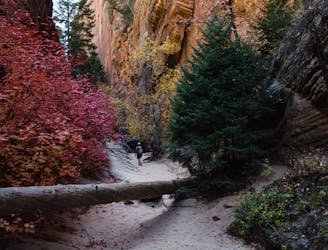
Hikes from the east end of Zion provide an entirely different experience than the ones from Zion Canyon Scenic Drive. In contrast to the wide, paved pathways found along the Drive, east end trails are generally far more primitive.
The East Rim Trail is an excellent example of Zion's wilder, less populated experience. The trail is 7.8 miles to the intersection with the Observation Point Trail, then another 3.5 miles to the Scenic Drive. Hikers can choose from doing an out-and-back day hike, or an 11.3-mile one-way trek using the free park shuttle. For a true backcountry experience, the best option is an out-and-back from the East Entrance.
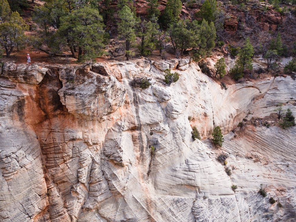
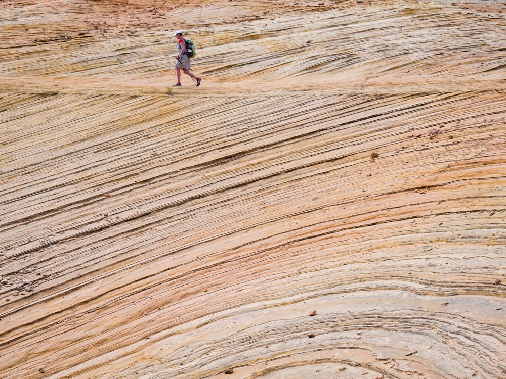
From the East Entrance trailhead, the route begins on an old dirt road as it winds its way up a sandy wash. There are amazing slickrock formations that beg to be explored, so allow plenty of time for such diversions!
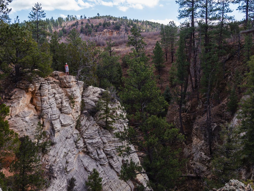
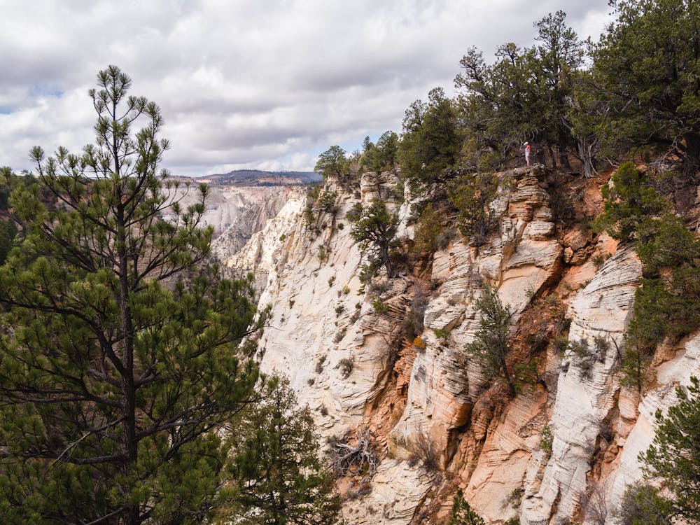
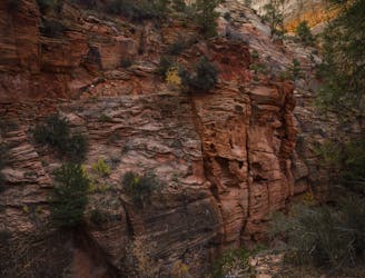
About 3 miles in, Jolley Gulch can be viewed from above. Spending time exploring the upper edges of the spectacular colorful walls is well worth the time spent before continuing onward.
The old, sandy road winds up, down, and around varying terrain and environments, and eventually becomes singletrack. Look for areas where the lovely manzanita grows. These sturdy bushes have beautiful waxy red bark, interspersed with gnarly gray, old branches and glossy green leaves.
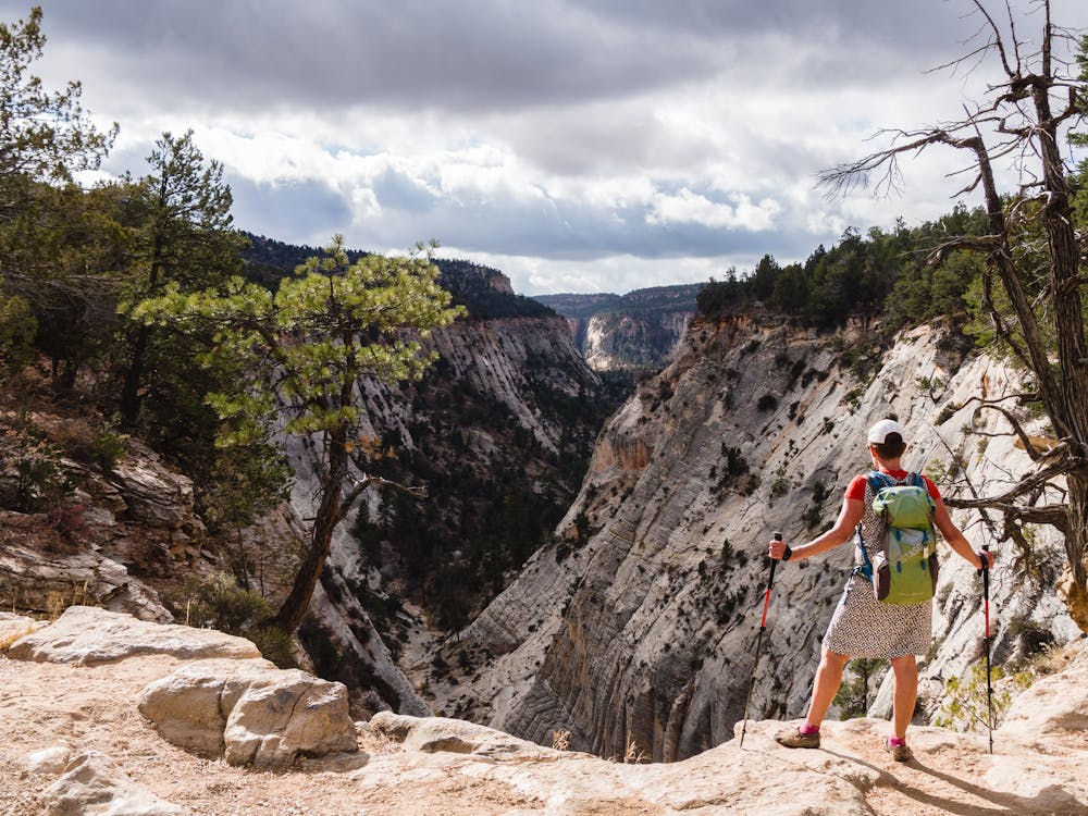
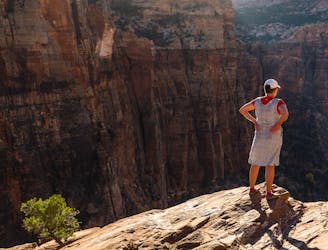
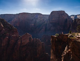
As an out-and-back trail, one can turn around whenever desired, but it is highly recommended to make this a truly memorable (and long!) hike by getting to the top of Echo Canyon at 6.7 miles. The views of the canyon below are simply breathtaking and would be a shame to miss.
Another option for experiencing the East Rim Trail is to do it as a backpacking trip. That option would allow one to tack on summit hikes of Cable and Deertrap Mountains. The intersection with those summit trails is 5.5 miles from the trailhead. Of course, any backpacking trip in Zion requires some careful planning for adequate water sources.
A common belief regarding national parks is that they are nothing but masses of shoulder-to-shoulder people. The truth is, with some research and a willingness to hike further in or start at lesser-known access points, one can absolutely find solitude.
Moderate
Hiking along trails with some uneven terrain and small hills. Small rocks and roots may be present.

The trail contains some obstacles such as outcroppings and rock which could cause injury.

Little chance of being seen or helped in case of an accident.
3.6 km away
Easy off-trail adventure in a gorgeous side canyon of Zion National Park.
Difficult Hiking
6 km away
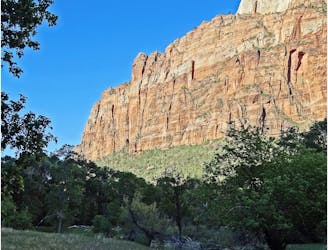
Short and sweet hike to sweeping views of lower Zion Canyon.
Moderate Hiking
6.8 km away
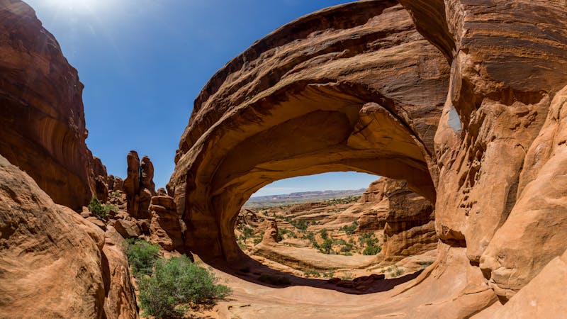
Hidden Canyon combines chains, scrambling and an arch.
Difficult Hiking
6.8 km away
This hike climbs four steep miles to a stunning overlook.
Difficult Hiking
6.8 km away
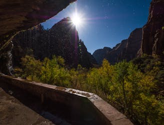
An otherworldly dripping springs.
Easy Hiking
7.1 km away
The West Rim Trail takes hikers away from the crowds.
Difficult Hiking
7.1 km away
Spectacular journey from high elevation to low among Zion National Park's vertical canyon walls.
Difficult Hiking
7.1 km away
The Emerald Pools provide a cool, refreshing oasis.
Moderate Hiking
7.1 km away
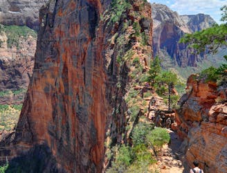
Zion National Park's iconic vertigo-inducing hike to a heavenly view.
Severe Hiking
7.3 km away
Short, easy trail between Zion Lodge and the Angels Landing Trail in the main area of Zion National Park.
Easy Hiking
11 routes · Hiking

25 routes · Alpine Climbing · Hiking

10 routes · Hiking

10 routes · Hiking
5 routes · Hiking

63 routes · Alpine Climbing · Hiking