West Rim Trail: Out-and-Back Day Hike
The West Rim Trail takes hikers away from the crowds.
Difficult Hiking
- Distance
- 12 km
- Ascent
- 747 m
- Descent
- 747 m
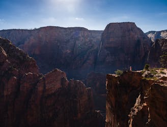
Spectacular journey from high elevation to low among Zion National Park's vertical canyon walls.
Hiking Difficult
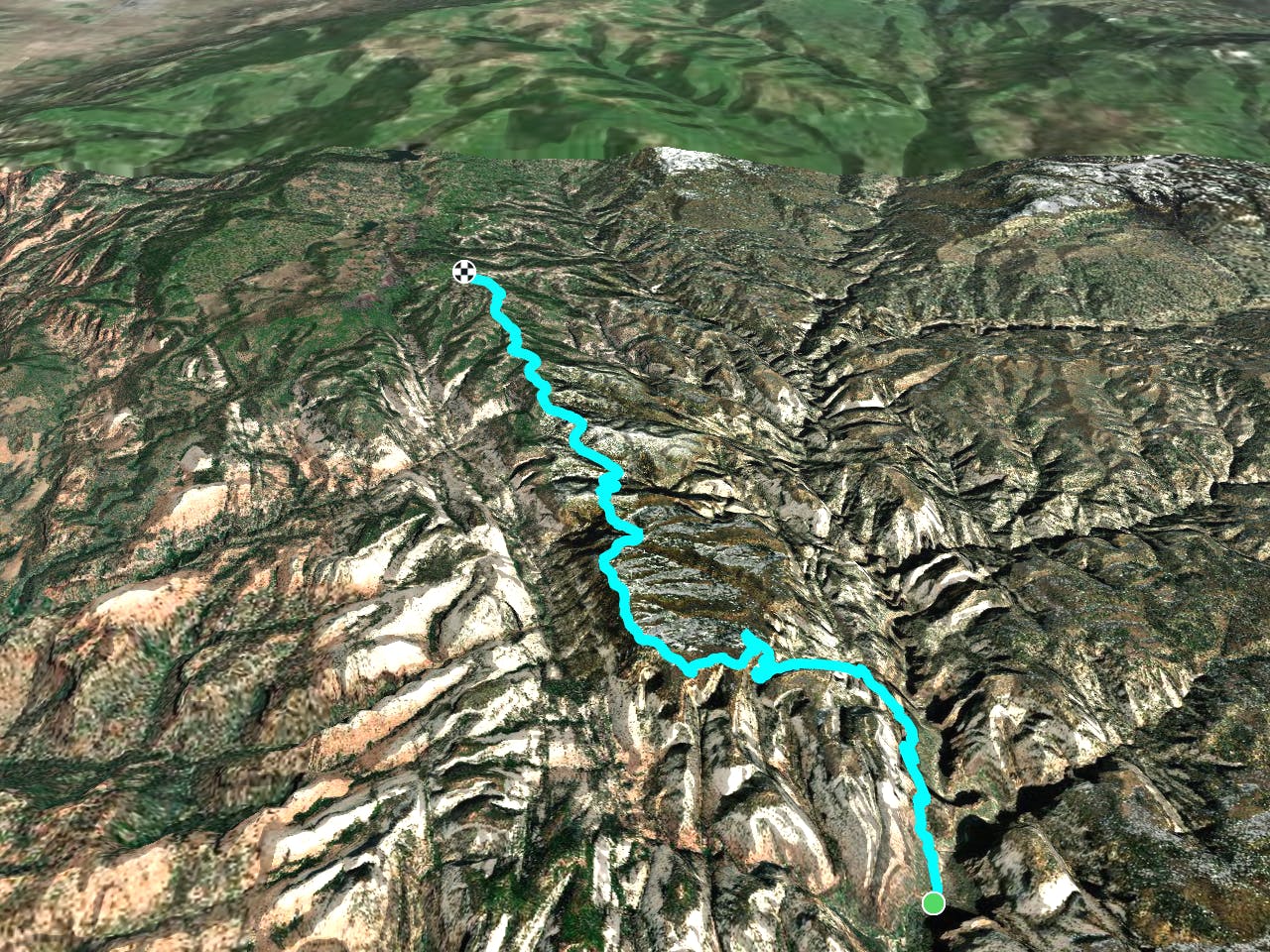
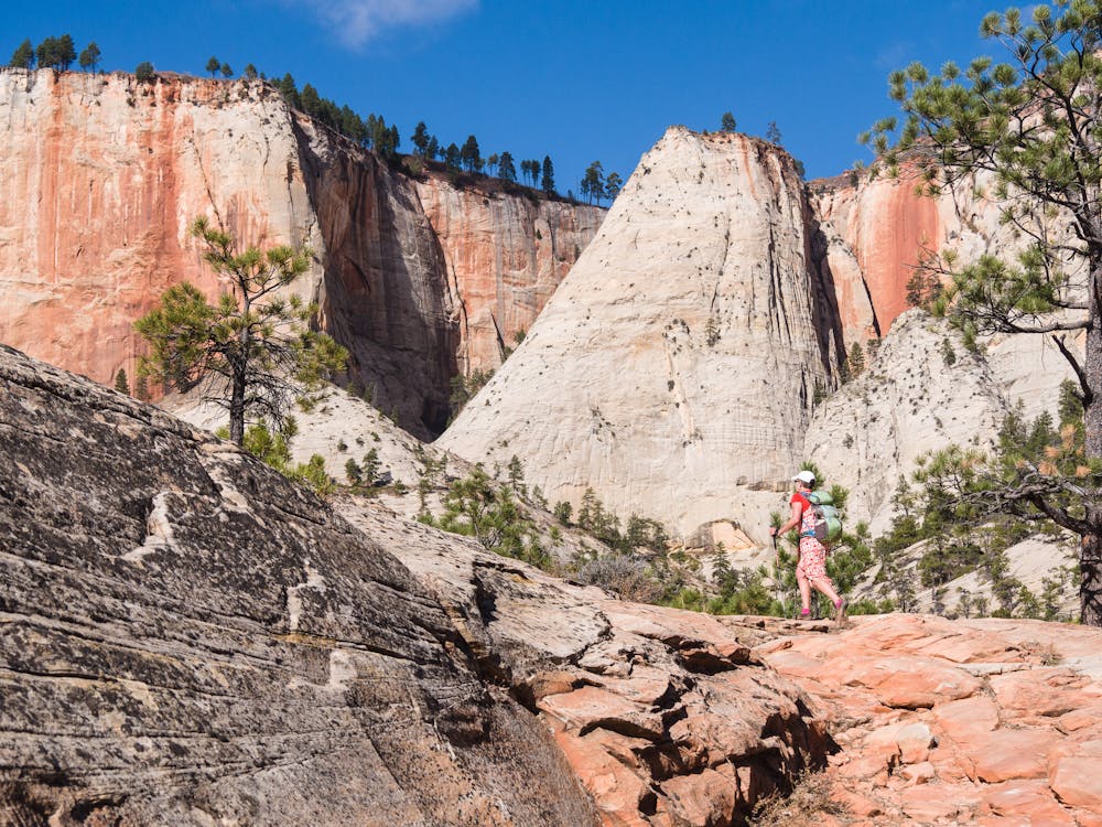
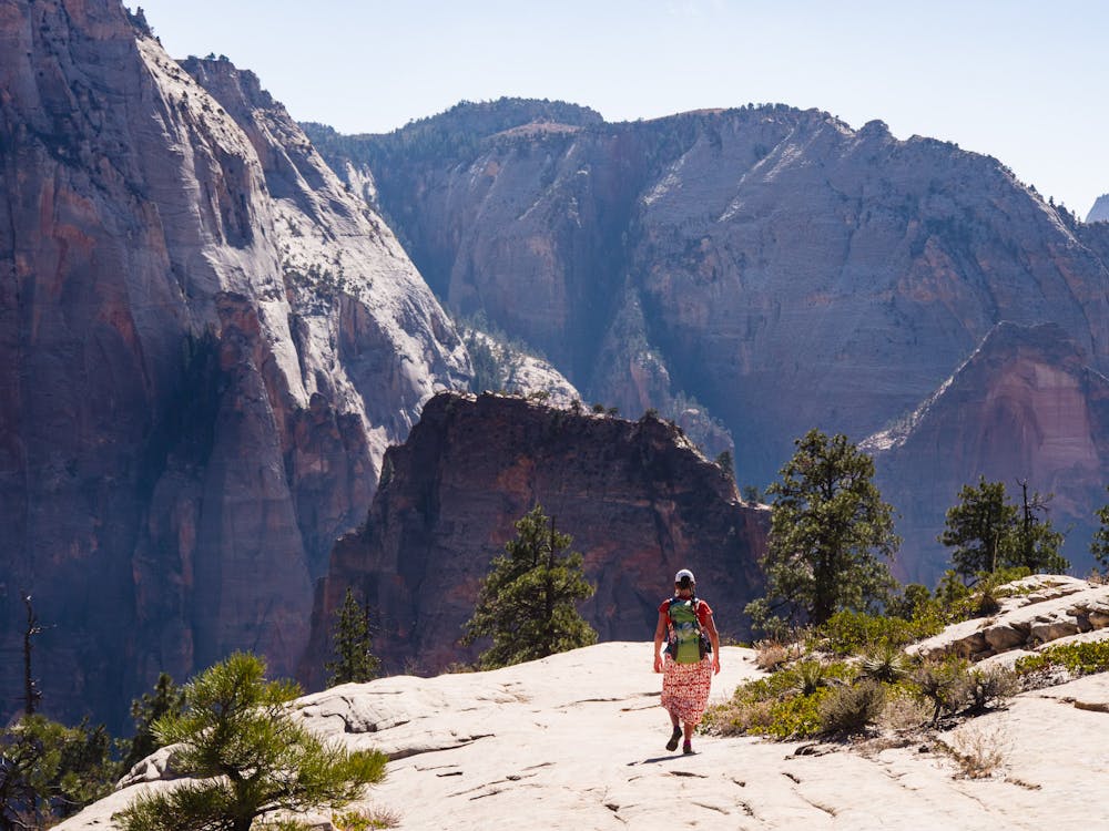
West Rim Trail is hands-down one of the most spectacular hikes in Zion. It begins in the high elevation realm with vantage above the canyons, then descends dramatically through a steep gorge, passing Angels Landing and finishing at the main road that leads to The Narrows. In 18.5 miles it packs in a nearly complete tour of the landscape’s life zones, from alpine to canyon floor.
This trail can be done as a long day trip or as an overnight backpacking trip. Starting at the top and hiking down is most common, simply because it is much easier than hiking up. Nine campsites are located along the route, but they can be hard to get because of the trail’s popularity. For that reason, hiking bottom-up may give you a better chance at campsites, because the ones nearer the low end of the trail are in less demand by two-day top-down hikers. Campsites must be selected at the time you reserve your wilderness permit.
The trailhead is at a gravel road near Lava Point in Zion National Park. You can also reach it via a short spur from the Lava Point parking. If doing the hike as a one way, it’s best to get dropped off here by a friend or a company, then ride the Zion Canyon shuttle back to your car at the visitor center or Springdale after you finish at The Grotto.
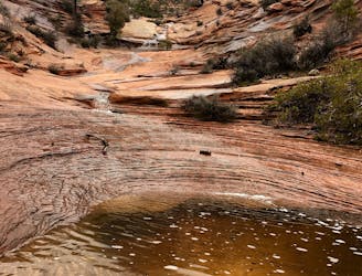
You can see a lot just from Lava Point, but this is merely a preview of what’s to come. The sparse groves of ponderosa atop this plateau grant views to the west and east of white-rock cliffs that form the rim of Zion’s great gorges. The trail follows a strip of plateau between two of these canyons, and the just scenery gets better and better.
The first really great vista comes at about 3 miles, with a gunsight-view down the Great West Canyon at South Guardian Angel Peak. Continue along rolling terrain in the cool mountain air and open pine forest, and take time to enjoy the other great viewpoints you’ll find. The trail meets a junction at about mile 7. Going left on the Telephone Canyon Trail shaves a little bit of mileage, but sacrifices the incredible scenery of the main West Rim Trail, which goes right.
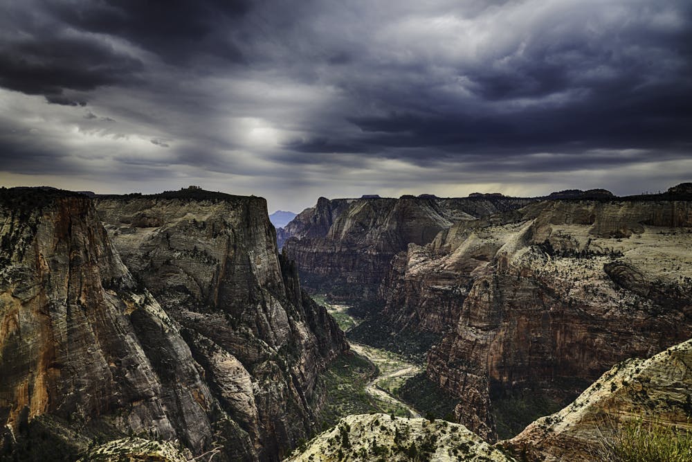
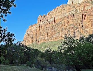
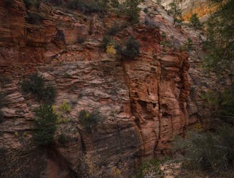
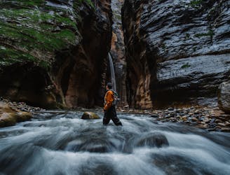
The trail hugs the rim of a precipitous gorge called Phantom Valley for a few miles, though the slope begins mildly enough to be safe. It trends eastward and downward, following the canyon rim, and rejoins the Telephone Canyon Trail just before dropping chiseled switchbacks down a sandstone cliff into Zion Canyon. This is the entrance to a vertical world of stone. The trail traverses slopes of slickrock, dipping up and down ridges and saddles as cliffs riser higher on all sides.
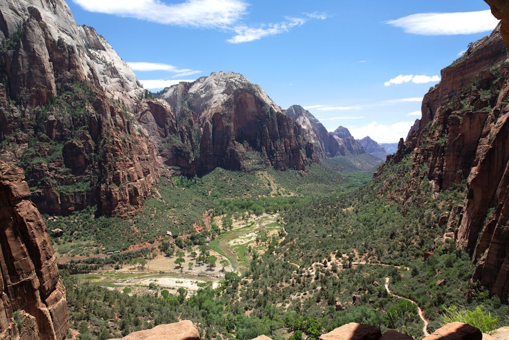
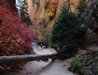
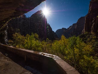
Scout’s Lookout is the junction with the Angel’s Landing Trail, where you’ll meet the hordes of hikers approaching the Chains. Join them for the final mile to the iconic viewpoint if you wish, or continue down the trail through Refrigerator Canyon to The Grotto to finish the West Rim Trail.
Sources: https://www.citrusmilo.com/zionguide/westrimtrail.cfm
Difficult
Hiking trails where obstacles such as rocks or roots are prevalent. Some obstacles can require care to step over or around. At times, the trail can be worn and eroded. The grade of the trail is generally quite steep, and can often lead to strenuous hiking.

Some trail sections are extremely exposed where falling will almost certainly result in serious injury or death.

Away from help but easily accessed.
The West Rim Trail takes hikers away from the crowds.
Difficult Hiking
0 m away
The Emerald Pools provide a cool, refreshing oasis.
Moderate Hiking
9 m away
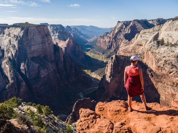
Zion National Park's iconic vertigo-inducing hike to a heavenly view.
Severe Hiking
1 km away
Short, easy trail between Zion Lodge and the Angels Landing Trail in the main area of Zion National Park.
Easy Hiking
1.7 km away
This hike climbs four steep miles to a stunning overlook.
Difficult Hiking
1.7 km away
Hidden Canyon combines chains, scrambling and an arch.
Difficult Hiking
1.7 km away
An otherworldly dripping springs.
Easy Hiking
2.9 km away
One-of-a-kind hike through a flowing stream, between soaring sandstone walls, in one of the world's most dramatic slot canyons
Moderate Hiking
5.1 km away

Short and sweet hike to sweeping views of lower Zion Canyon.
Moderate Hiking
5.3 km away
Easy off-trail adventure in a gorgeous side canyon of Zion National Park.
Difficult Hiking
11 routes · Hiking

25 routes · Alpine Climbing · Hiking

10 routes · Hiking

10 routes · Hiking

63 routes · Alpine Climbing · Hiking