3 m away
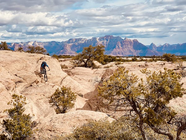
Prospector Lollipop
This lollipop route anchored by the Prospector Trail is one of the best XC rides in the region.
Difficult Mountain Biking
- Distance
- 33 km
- Ascent
- 614 m
- Descent
- 614 m
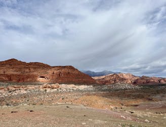
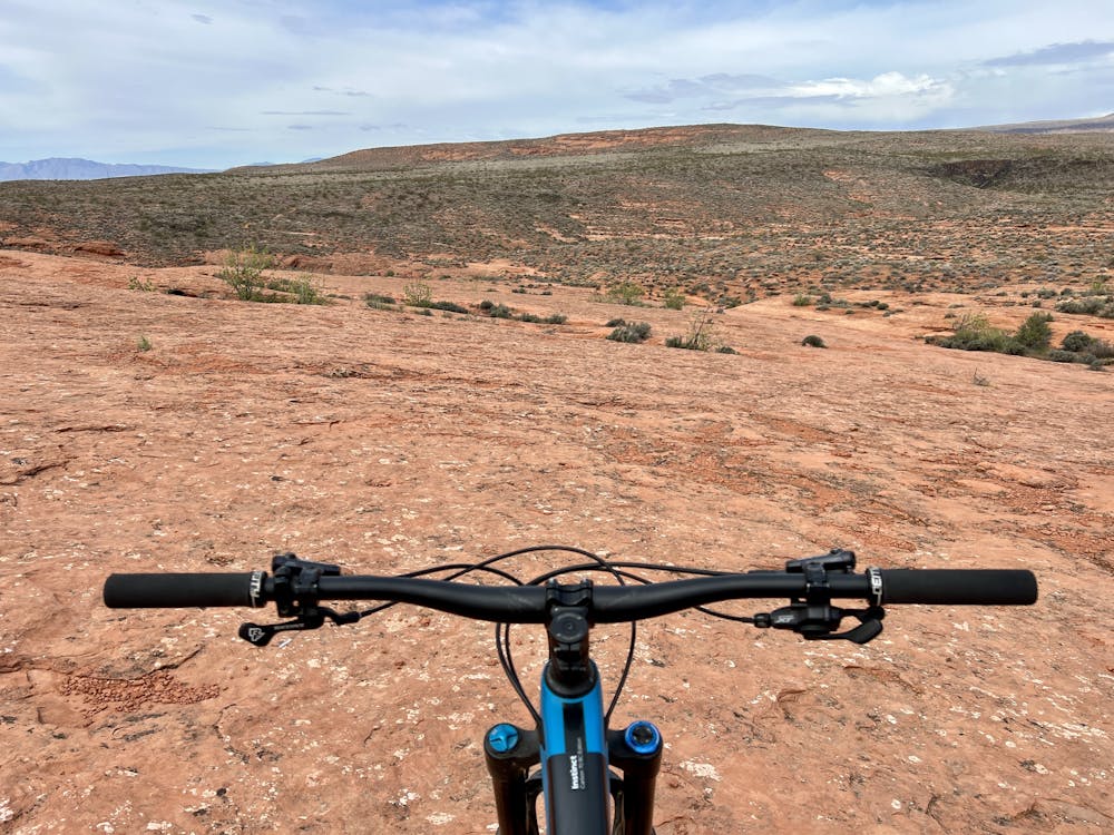
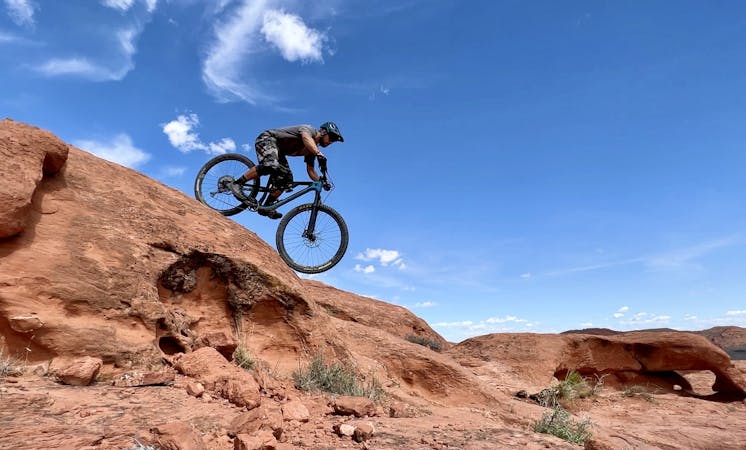
Church Rocks is a beautiful sandstone slickrock mountain bike playground located right on the outskirts of St. George.
Mountain Biking Severe

Church Rocks is a beautiful sandstone slickrock mountain bike playground located right on the outskirts of St. George. To get to the goods, you'll first have to pedal up a short hill from the Grapevine trailhead before dropping down to Church Rocks proper.
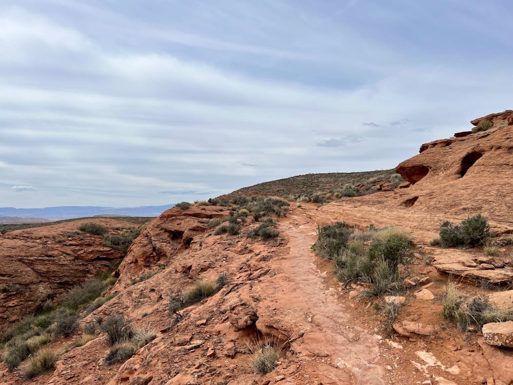
While you can ride these trails in either direction, to get the best bang-for-your-buck out of Church Rocks, it's recommended to head clockwise around the loop. If you pedal in that direction, the ride begins with a steep grunt up a slab of exposed slickrock.
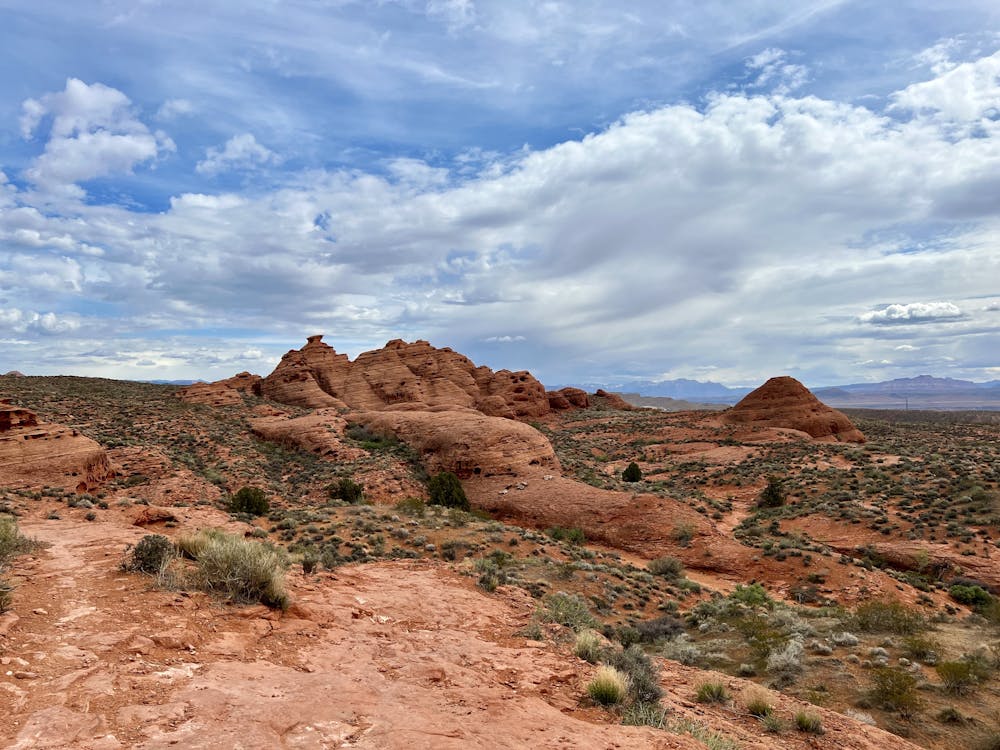
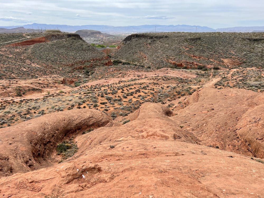
When you get to the top, you'll notice some obvious slickrock rolls to your right that drop down steep, exposed domes back into the valley that you just climbed up out of. This is the "Church Rocks Playground," which is the perfect place to hang out and spend some time sessioning these incredible domes. Play around and discover all the lines... just don't ride off the sheer cliffs to the lefthand side!
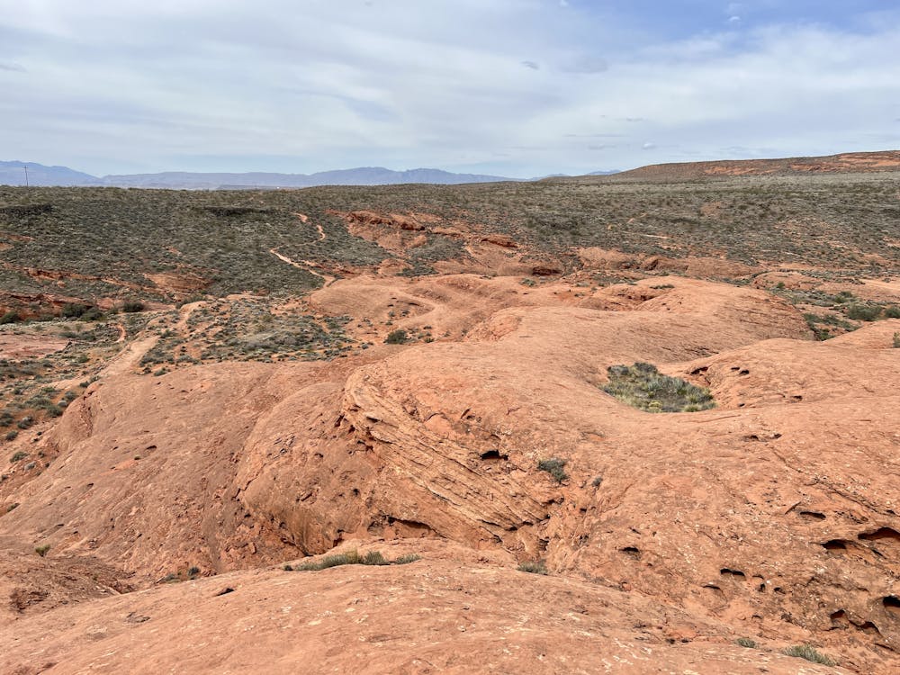
After playing with your friends on the playground, continue along on top of the sandstone ridge. At the end, the trail drops fast and furiously off the rim, blasting down a steep series of chundery rock gardens and ledge drops. Gone are the smooth rock rolls, and in their place, you'll be faced with all manner of red rock gnar!
After blasting down the hillside, complete the loop by pedaling a mostly flat but rocky trail along the base to return to the valley near the interstate. From there, you can either choose to loop back up to the Playground for a few more laps or climb the steep trail back out of the valley to get back to Grapevine.
Severe
Widely variable, narrow trail tread with steeper grades and unavoidable obstacles of 15in/38cm tall or less. Obstacles may include unavoidable bridges 24in/61cm wide or less, large rocks, gravel, difficult root sections, and more. Ideal for advanced-level riders.

Some trail sections have exposed ledges or steep ascents/descents where falling could cause serious injury.

Close to help in case of emergency.
3 m away
This lollipop route anchored by the Prospector Trail is one of the best XC rides in the region.
Difficult Mountain Biking
8.3 km away
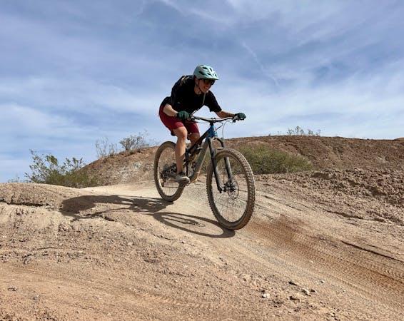
A popular intermediate-friendly trail near Quail Creek Reservoir.
Moderate Mountain Biking
8.6 km away

Twist & Shout is an excellent short lap for beginner rides, with a fantastic downhill flow trail section!
Easy Mountain Biking
8.8 km away
These rocky, rugged trails are the first to dry in Hurricane after a rain or snow.
Extreme Mountain Biking
9 routes · Mountain Biking
8 routes · Mountain Biking
9 routes · Mountain Biking