3 m away
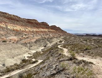
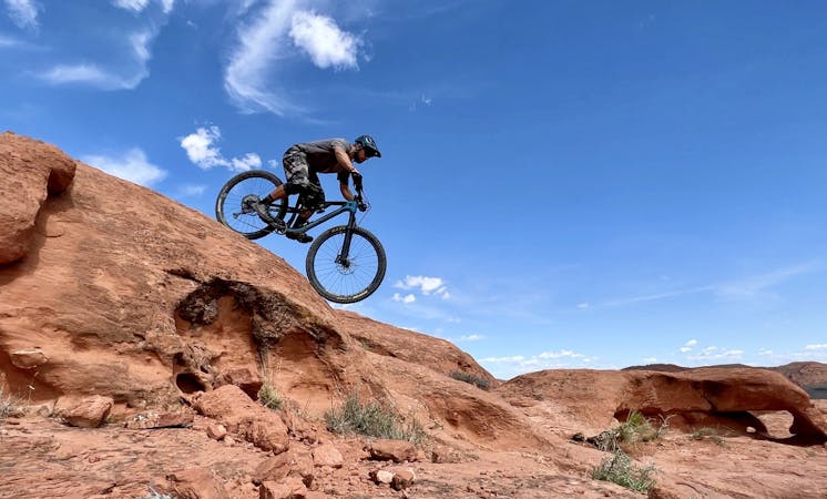
Church Rocks
Church Rocks is a beautiful sandstone slickrock mountain bike playground located right on the outskirts of St. George.
Severe Mountain Biking
- Distance
- 9.2 km
- Ascent
- 217 m
- Descent
- 217 m
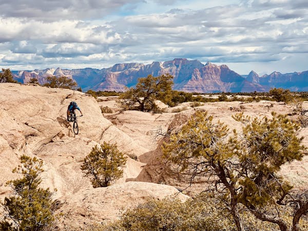
This lollipop route anchored by the Prospector Trail is one of the best XC rides in the region.
Mountain Biking Difficult

While many of the best mountain bike trails in the Greater Zion Utah region tend to be quite technical, if you search them out, you can still find some fantastic long-distance cross country rides. This lollipop route anchored by the Prospector Trail is one of the best XC rides in the region.
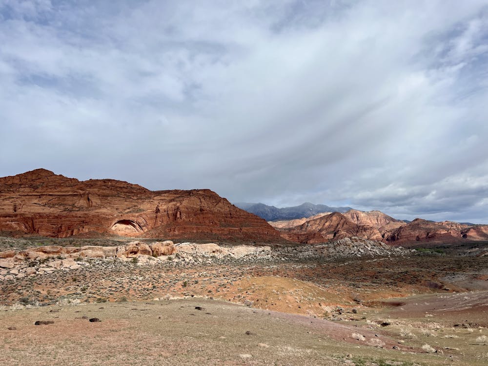
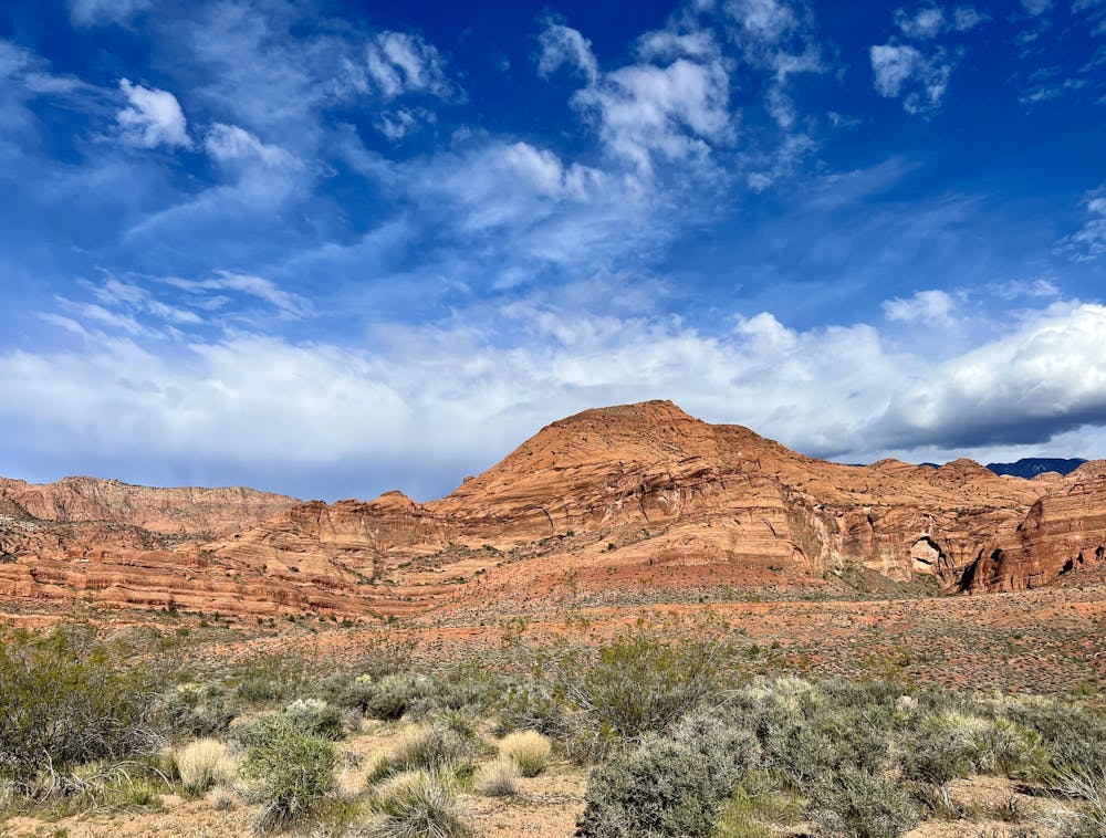
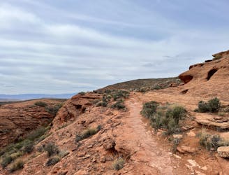
The ride begins from the Grapevine Trailhead, first climbing a gated road to reach Prospector Trail proper. The initial drop into the Prospector Trail is one of the most technical parts of the entire ride, followed by a short chunky section traversing along rock slabs below the Church Rocks formation. You'll soon this stunning red rock formation behind in favor of wide-open prairie.
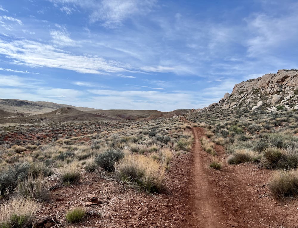
As you approach the prairie lands, the rock ledges disappear and in their place, you'll discover long, wide-open stretches of sandy singletrack climbing and descending the moderate hills just west of Interstate 15. These wide-open trails will allow XC riders to put their heads down and drop the hammer, cranking out miles and miles of trail.
Portions of Prospector are popular with horse outfitters, so be sure to yield the trail if you encounter equestrians. This horse traffic also has a tendency to churn up the sandy trail tread, which can make for more arduous pedaling in some sections.
When you reach the Red Cliffs area, this recommended route makes a small circuit before returning by the same path on Prospector. These trails at the far northern end of the route are also quite flowy and nontechnical. They are comprised of a mix of singletrack and old road grades that are slowly narrowing to singletrack as the years roll on.
After pedaling back down the Prospector trail, if you're approaching the southern end and still haven't pedalled enough miles yet, consider tacking on Church Rocks and Dino Cliffs for some bonus miles, albeit much more technical bonus miles.
Difficult
Mostly stable trail tread with some variability featuring larger and more unavoidable obstacles that may include, but not be limited to: bigger stones, roots, steps, and narrow curves. Compared to lower intermediate, technical difficulty is more advanced and grades of slopes are steeper. Ideal for upper intermediate riders.

The path is on completely flat land and potential injury is limited to falling over.

Away from help but easily accessed.
3 m away
Church Rocks is a beautiful sandstone slickrock mountain bike playground located right on the outskirts of St. George.
Severe Mountain Biking
8.3 km away
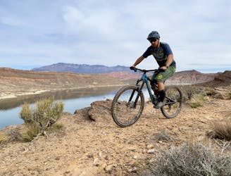
A popular intermediate-friendly trail near Quail Creek Reservoir.
Moderate Mountain Biking
8.6 km away

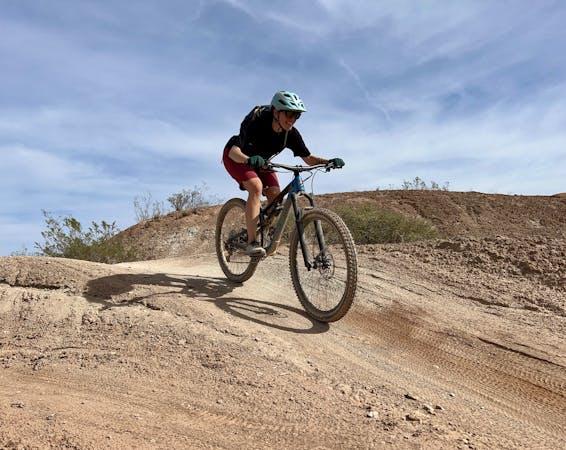
Twist & Shout is an excellent short lap for beginner rides, with a fantastic downhill flow trail section!
Easy Mountain Biking
8.8 km away
These rocky, rugged trails are the first to dry in Hurricane after a rain or snow.
Extreme Mountain Biking
9 routes · Mountain Biking
8 routes · Mountain Biking
9 routes · Mountain Biking