14 m away
Secret Sauce Loop
Secret Sauce is one of the smoothest and flowiest mountain bike trails in Greater Zion Utah!
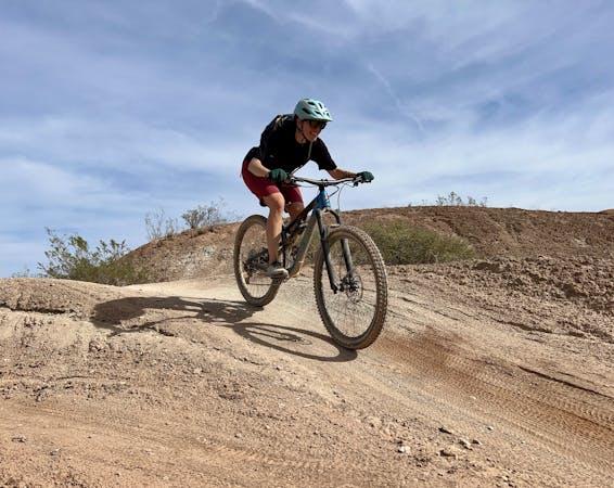
Easy Mountain Biking
- Distance
- 4.6 km
- Ascent
- 83 m
- Descent
- 83 m
Artfully-constructed XC singletrack providing delightful flow.
Mountain Biking Moderate

The Desert Canyons mountain bike trails are some of the newest tracks built near the city of St. George. The most popular trails in the network, mapped here, consist of flowy beginner and intermediate-friendly singletrack that's easy to access for a quick after work ride.
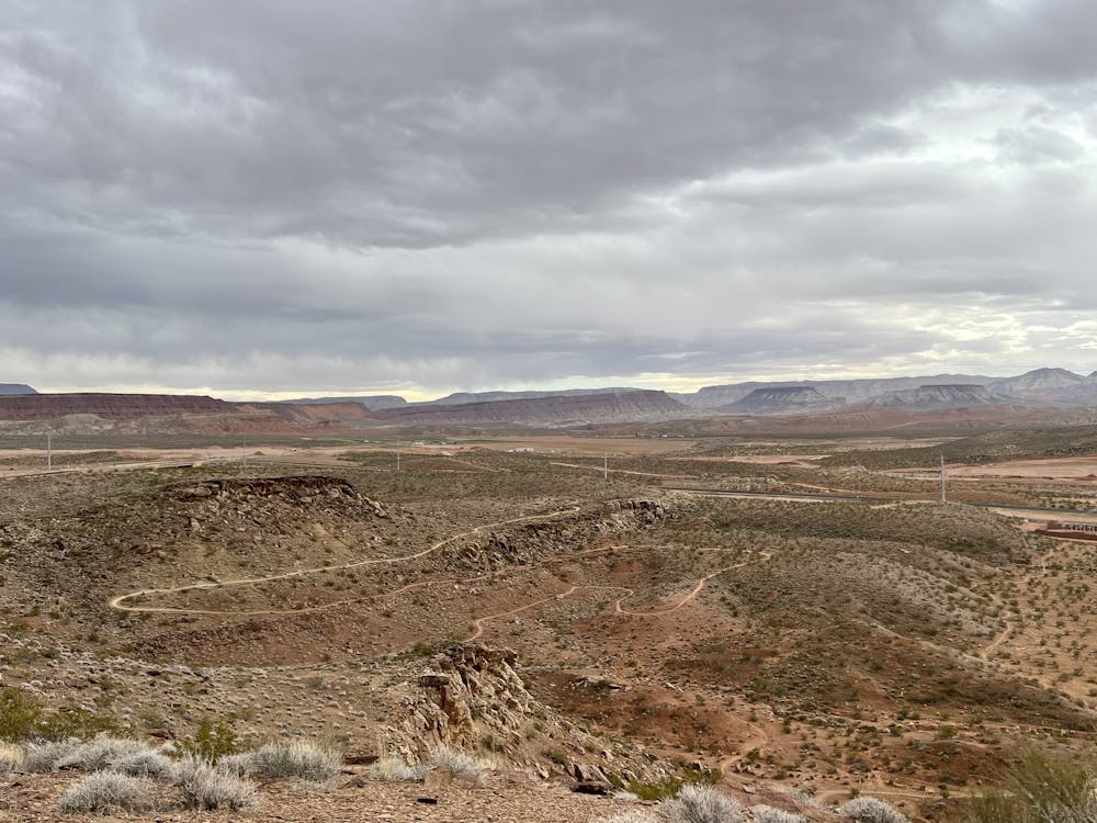
The route as mapped consists of two distinct loops: Pushing Tin, which is located to the left of the trailhead, and Secret Sauce -> Claim Jumper, which is located to the right. You can choose to ride one loop or the other, or both at the same time. And if you head deeper into the trail system, you'll find a few more advanced trails as well.
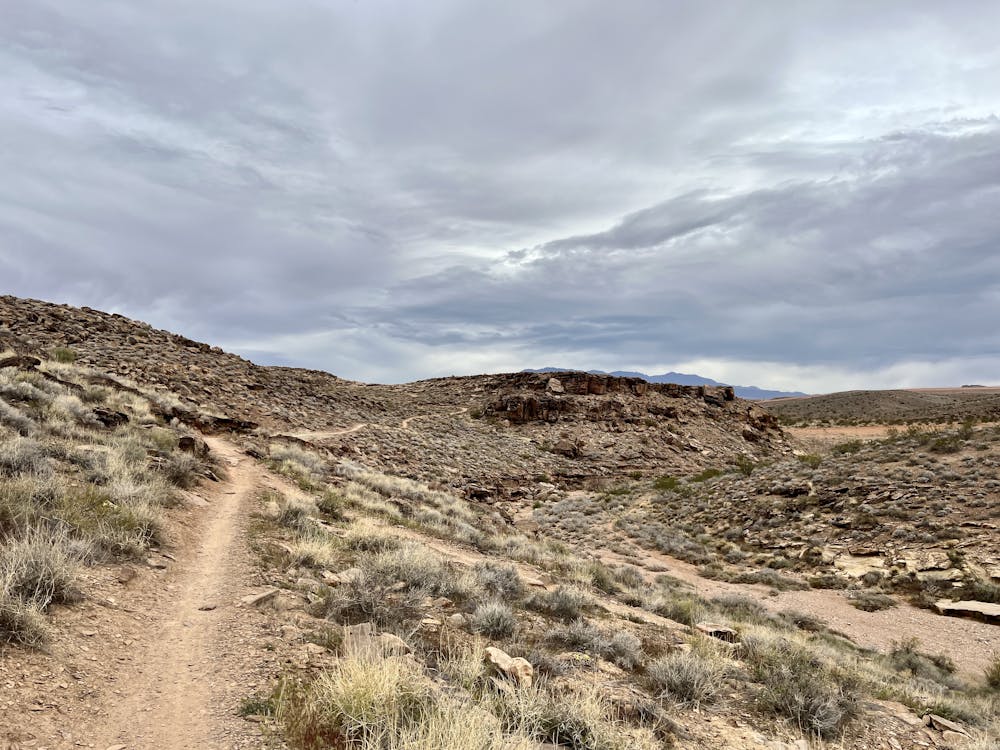
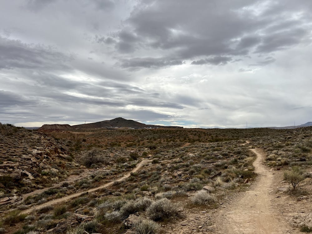
After the poorly-built and heavily-braided singletrack found in the Bearclaw Poppy area, Desert Canyons provides a delightful respite in the form of artfully-constructed, narrow singletrack trails! These beautiful, swoopy tracks flow artfully along the hillsides, climbing up the low hills and bombing back down. While most of the singletrack is smooth and non-technical, it's still the Utah desert, and some rock slabs and rock gardens will crop up—especially on Claim Jumper and Pushing Tin. If you're looking for the easiest trail in the network, try riding Secret Sauce on its own.
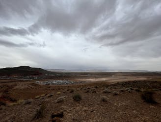
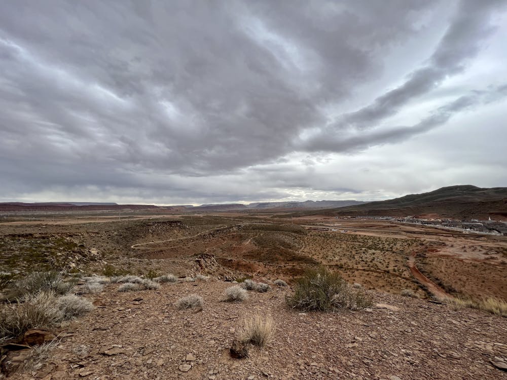
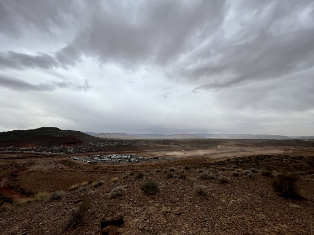
The easy access to this trailhead is a definite draw, but that easy access also means that the region isn't quite as scenic as some other trails near St. George. The hills in this network rise above several new housing developments that are currently under construction, and just a couple hundred yards away runs the loud 4-lane highway.
Even still, it's encouraging to see a new trail system such as this one being built in the region. Hat tip to Dixie Mountain Bike Trails Association (DMBTA) for playing a critical role in making this trail system a reality!
Moderate
Mostly stable trail tread with some variability, with unavoidable obstacles 8in/20cm tall or less. Other obstacles such as rock gullies and steep sections may exist. Ideal for lower intermediate riders.

The trail contains some obstacles such as outcroppings and rock which could cause injury.

Close to help in case of emergency.
14 m away
Secret Sauce is one of the smoothest and flowiest mountain bike trails in Greater Zion Utah!
Easy Mountain Biking
8 routes · Mountain Biking
9 routes · Mountain Biking