2.1 km away
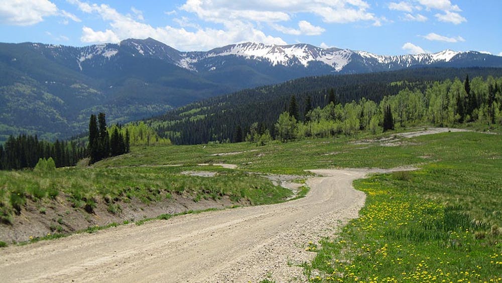
Hermosa Creek Shuttle
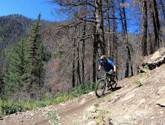
A classic mountain bike ride through a gorgeous mountain valley.
Difficult Mountain Biking
- Distance
- 42 km
- Ascent
- 661 m
- Descent
- 1.5 km
This trip celebrates the two iconic mountain bike towns of Durango and Moab, and the remote riding in between.
Also in Colorado, United States of America
Mountain Biking Severe

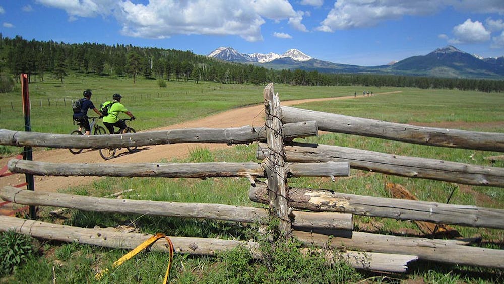
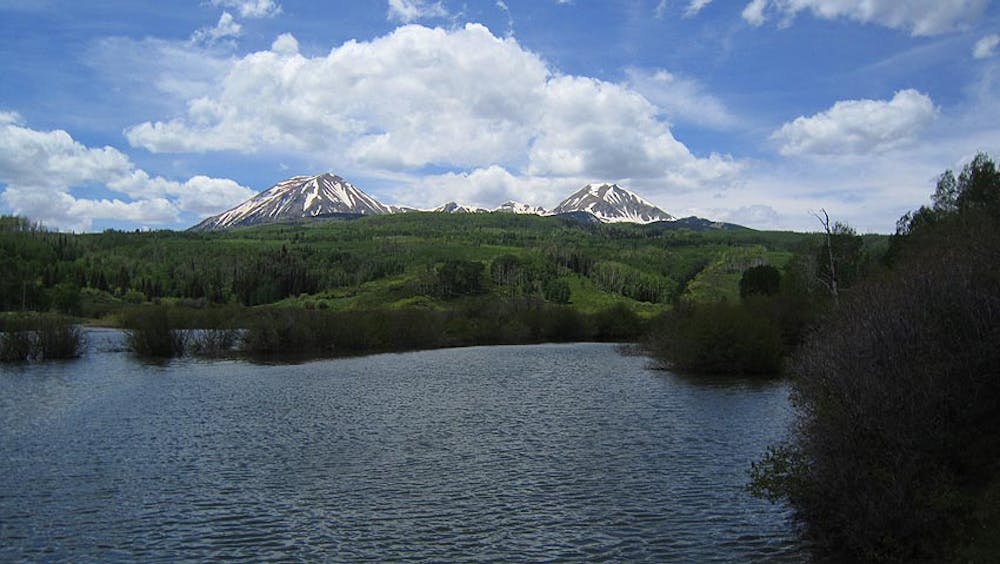
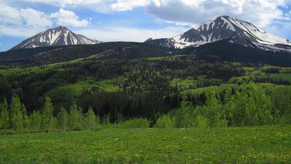
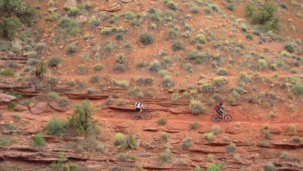
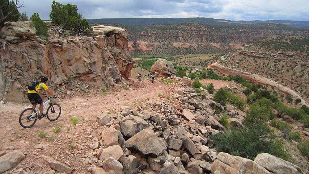
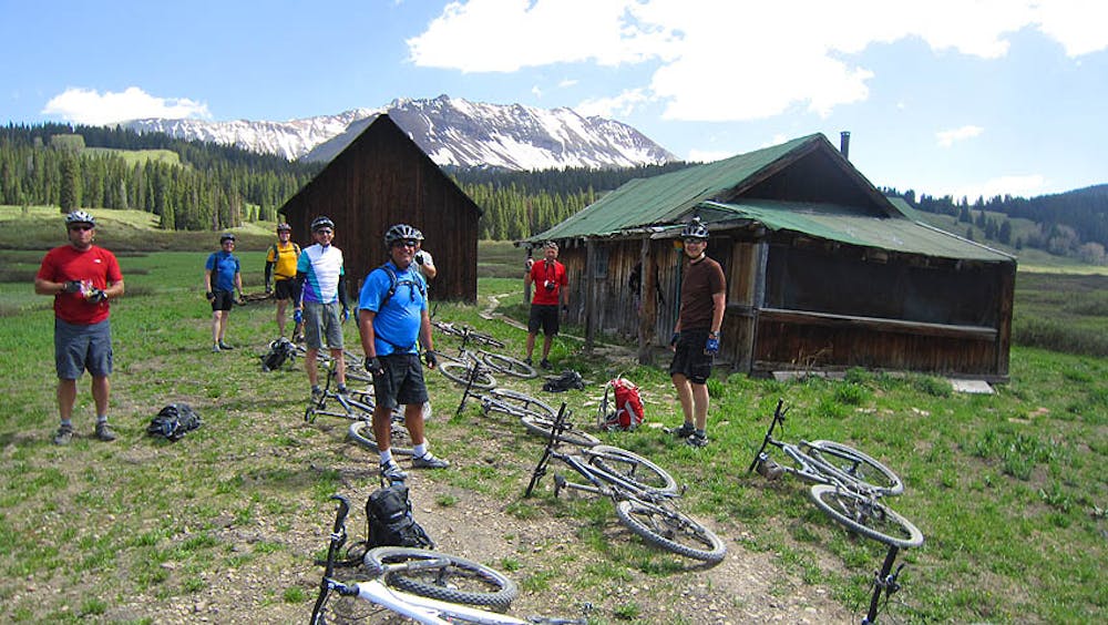
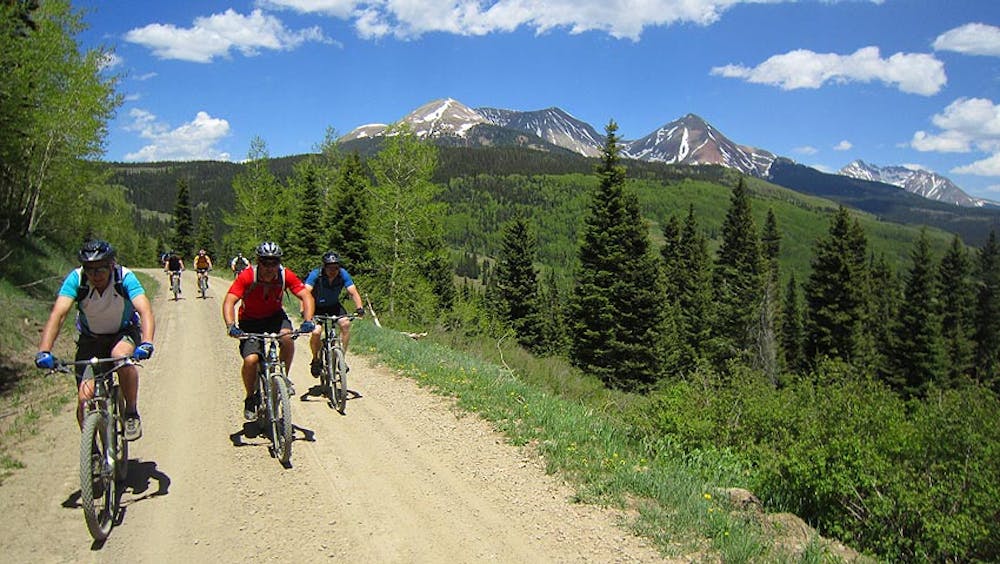
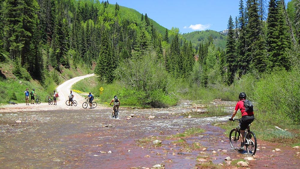
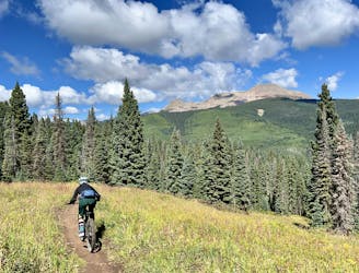
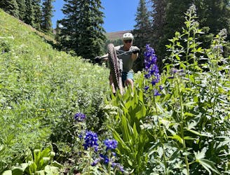
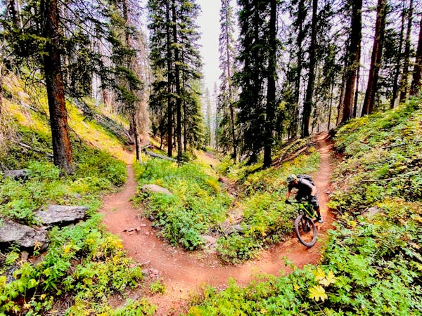
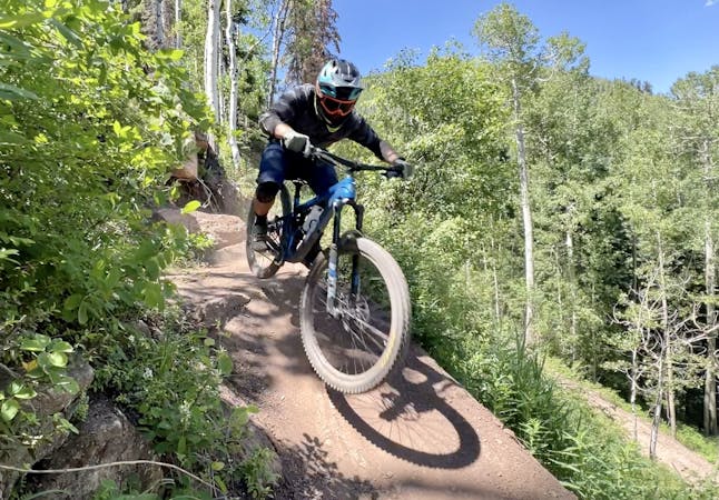
To the mountain bike world, Durango and Moab don’t really require a lot of introduction. Both destinations have been at the forefront of building the worldwide popularity of the sport. Durango features such classics as the Hermosa Creek Trail and the Colorado Trail, while Moab is the desert wonderland bragging trail gems such as Porcupine Rim and the Slickrock Trail. This trip celebrates both towns and the remote riding in between. Over 6 days and a little over 200 miles we’ll traverse some of the most beautiful and remote terrain as we transition from gorgeous high mountains to the one of a kind desert terrain in Moab.
Day 1:
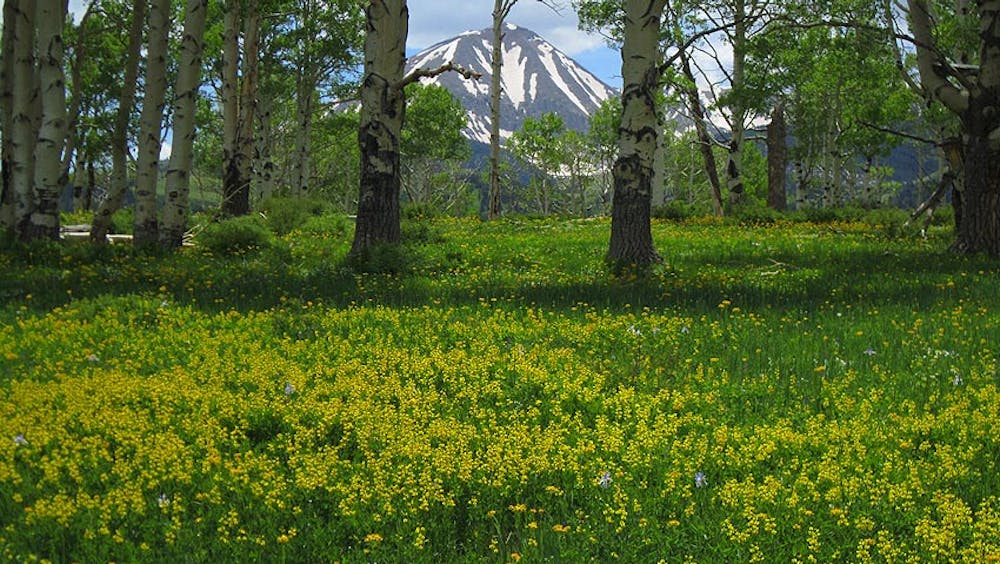
We start at Durango Mountain Resort, or for the more skilled a great section of the Colorado Trail, and make our way up to Bolam Pass high in the San Juan Mountains. Our day ends with a long, fun descent to a very nice riverside campground.
Day 2:
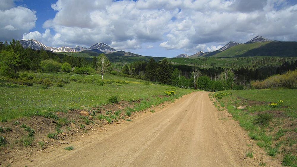
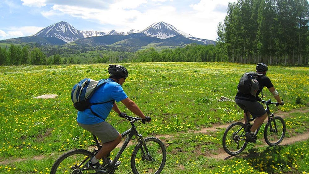
The second leg of the trip is punctuated by our long, slow traverse around the Lizard Head Wilderness and it’s towering trio of 14,000 peaks.
Day 3:
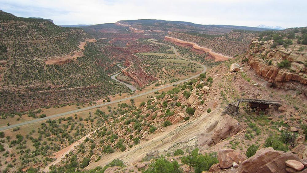
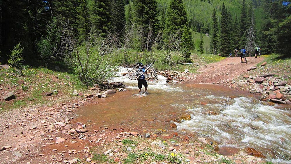
Day three we transition away from the San Juan Mountains and start our journey to the La Sal Mountains above Moab. Much of this day and the next are spent high above Paradox Valley on the Uncompahgre Plateau.
Day 4:
Today we take a pleasant ride on the Uncompahgre Plateau and visit numerous old mine sites from the 1930s to 1950s, ending with a camp on the rim of Paradox Valley.
Day 5:
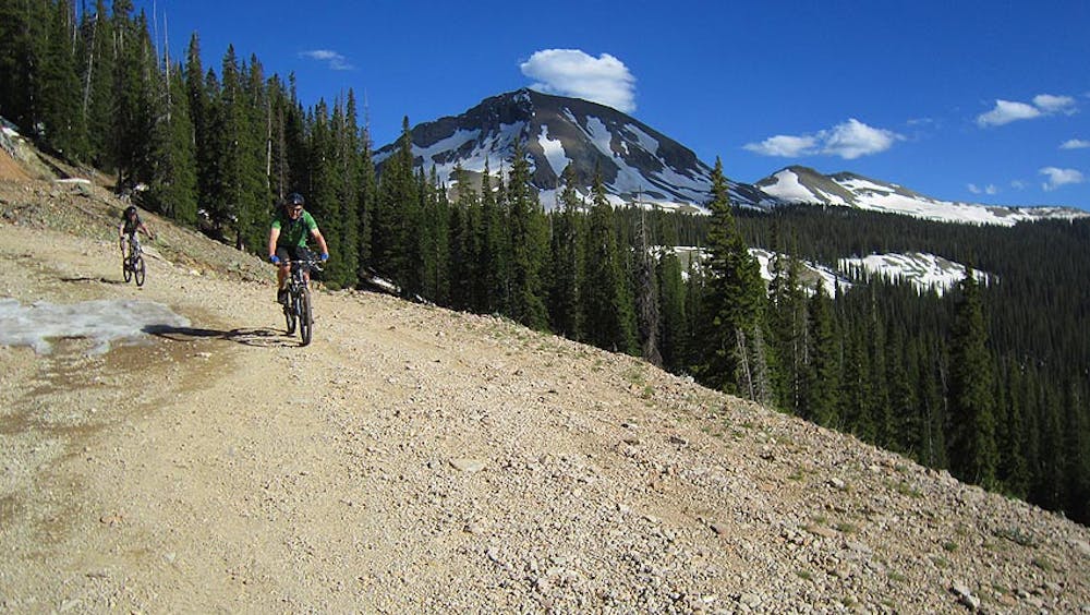
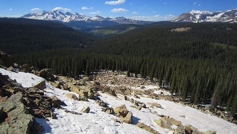
We spend our day working our way up the eastern flanks of the La Sal Mountains. Views are plentiful today as the topography changes from high desert to near alpine.
Day 6:
The grand finale on the world famous Whole Enchilada…a 7000-foot descent from high in the La Sal Mountains all the way to the desert and alongside the Colorado River.
For more information and to book a tour, visit: https://hermosatours.net/utah-mountain-bike-tours/durango-to-moab-mountain-bike-tours.html
Severe
Widely variable, narrow trail tread with steeper grades and unavoidable obstacles of 15in/38cm tall or less. Obstacles may include unavoidable bridges 24in/61cm wide or less, large rocks, gravel, difficult root sections, and more. Ideal for advanced-level riders.

Some trail sections have exposed ledges or steep ascents/descents where falling could cause serious injury.
Little chance of being seen or helped in case of an accident.
2.1 km away
A classic mountain bike ride through a gorgeous mountain valley.
Difficult Mountain Biking
2.2 km away

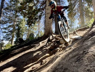
One of the most technical lines in the bike park.
Extreme Mountain Biking
2.2 km away
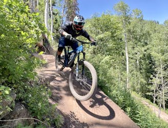
Step into black diamond terrain at Purgatory.
Severe Mountain Biking
2.2 km away
The best top-to-bottom flow trail lap in the Purgatory Bike Park.
Difficult Mountain Biking
2.2 km away
The steepest, most technical line on the mountain.
Extreme Mountain Biking
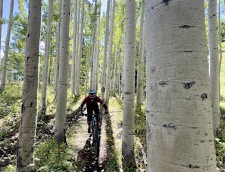
2.2 km away
A crowd pleaser run, combining a flow trail with a more natural singletrack finish.
Moderate Mountain Biking
2.2 km away
The best beginner flow trail lap at Purgatory.
Easy Mountain Biking
2.2 km away
A top-to-bottom beginner trail with two distinct sections.
Easy Mountain Biking
8.4 km away
The most popular high-country descent near Durango.
Difficult Mountain Biking
8.4 km away
A point-to-point shuttle on one of Durango's best high-country trails.
Severe Mountain Biking
8 routes · Mountain Biking
7 routes · Mountain Biking