1 m away
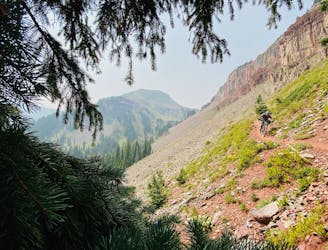
Pass Creek -> Engine Creek Shuttle
A point-to-point shuttle on one of Durango's best high-country trails.
Severe Mountain Biking
- Distance
- 21 km
- Ascent
- 462 m
- Descent
- 1 km
The most popular high-country descent near Durango.
Mountain Biking Difficult

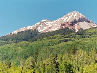
Engineer Mountain is arguably the most popular mountain bike descent in the Durango high country. Thanks to a convenient shuttle available via the Million Dollar Highway, it's possible to run a quick shuttle lap on Engineer Mountain by using the Pass Trail as a climb. With just 1,150 feet of climbing, you earn over 3,000 feet of high-speed descending back down to the car below!


The modest climb and short distance make this trail very approachable for the masses of riders, along with the lack of technical challenge on Engineer Mountain itself. In fact, as far as high country rides go, this is a fairly non-technical mountain bike ride, although it still warrants an upper intermediate difficulty rating.
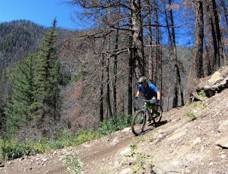
Perhaps the most difficult part of the trail—not just aerobically, but technically as well—is getting up the Pass Trail. The climb up Pass Creek alternates back and forth from riding to hiking through steep, rocky pitches. True badasses may be able to clean all of the rocks, but most riders will have to push through a few sections. But even so, Pass Creek is at least 95% rideable on the way up, making it the easiest alpine climb in the area—hence the popularity.
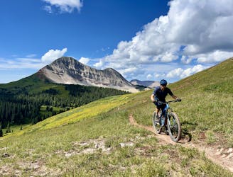
Once at the junction with the Engineer Mountain Trail, this route takes a left-hand turn to climb a bit more over a saddle with stupendous views, before dropping into the top of the descent. From here on out, it's all brake-burning downhill ripping!
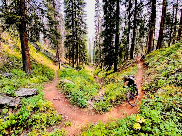
The descent begins with a set of stacked switchbacks set in a deep pine forest. Even though the trail switches back and forth constantly, all of the turns are wide and easily rideable. While there are a few roots and rocks, there aren't any major obstacles to speak of.
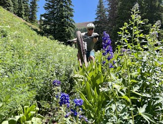
As you descend, you'll pass several spectacular viewpoints where the trees open up on the mountainside, affording views of the valley below and the Weminuche Wilderness beyond. Be sure to stop and savor these incredible views because the descent will be over before you know it!
Lower down, some sections of the trail straighten out, allowing you to open up and really blast! These sections do tend to get blown out, and there are some rocks and small ledges to negotiate, so be sure to ride heads-up. You'll also get to weave through several gorgeous aspen groves on the lower mountain before dropping back out onto the highway.
Even though Engineer is an absolute ripper of descent, this is indeed a two-way trail, so be sure to keep your eyes peeled for hikers, trail runners, and even uphill mountain bikers.
Difficult
Mostly stable trail tread with some variability featuring larger and more unavoidable obstacles that may include, but not be limited to: bigger stones, roots, steps, and narrow curves. Compared to lower intermediate, technical difficulty is more advanced and grades of slopes are steeper. Ideal for upper intermediate riders.

The trail contains some obstacles such as outcroppings and rock which could cause injury.
Away from help but easily accessed.
1 m away
A point-to-point shuttle on one of Durango's best high-country trails.
Severe Mountain Biking
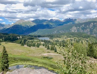
1.3 km away
A short but high-value alpine ride easily accessible from the Million Dollar Highway.
Difficult Mountain Biking
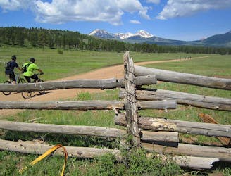
8.1 km away
A classic mountain bike ride through a gorgeous mountain valley.
Difficult Mountain Biking
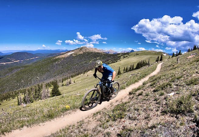
8.3 km away
World-class alpine scenery capped with a 4,000-foot descent!
Severe Mountain Biking
8.3 km away
The IMBA Epic portion of the Colorado Trail from Silverton to Durango.
Severe Mountain Biking
8.3 km away
The inaugural segment of the famous Silverton to Durango stretch of the Colorado Trail.
Severe Mountain Biking
8.4 km away
This trip celebrates the two iconic mountain bike towns of Durango and Moab, and the remote riding in between.
Severe Mountain Biking

26 routes · Mountain Biking
4 routes · Mountain Biking
8 routes · Mountain Biking