2 m away
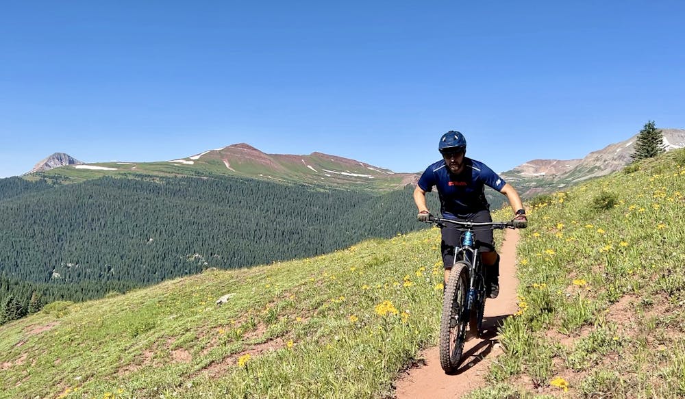
Molas Pass -> Engineer Mountain Trail
World-class alpine scenery capped with a 4,000-foot descent!
Severe Mountain Biking
- Distance
- 32 km
- Ascent
- 875 m
- Descent
- 1.4 km
The IMBA Epic portion of the Colorado Trail from Silverton to Durango.
Mountain Biking Severe

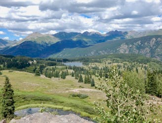
The Colorado Trail (COT) is widely regarded as one of the very best long-distance mountain bike trails in the world. Running for 535 miles between Denver and Durango, the trail crosses high alpine mountain passes and drops into beautiful valleys as it traverses the most beautiful portions of the state of Colorado. The COT forms one-third of the Triple Crown of Bikepacking, along with the Arizona Trail and the Great Divide Mountain Bike Route.
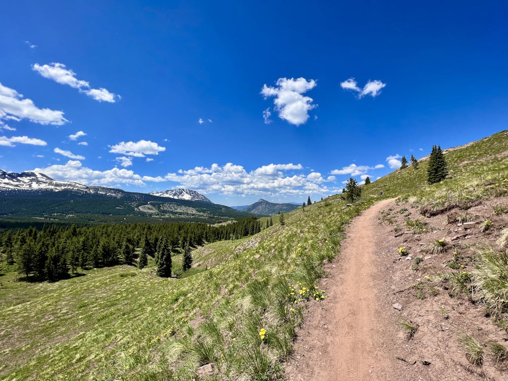
Out of the entire Colorado Trail, arguably the most highly-acclaimed portion is the long stretch running from the town of Silverton to the southern terminus of the trail in Durango. While not technically the highest-elevation portion of the trail, nevertheless this section stays very high in the San Juan Mountain Range. This entire stretch of singletrack has also been designated by the International Mountain Bike Association as one of their "Epic" rides.
All along this stretch, the views of the surrounding jagged mountains are incredible, the singletrack is narrow and sinuous, and there’s nary a sign of civilization. Indeed, between departing from Highway 550 at Molas Pass and entering the town of Durango, the only sign of human life is the occasional dirt road crossing. Plan accordingly and pack all the gear you’ll need.
Section 1
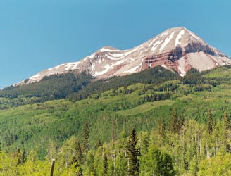
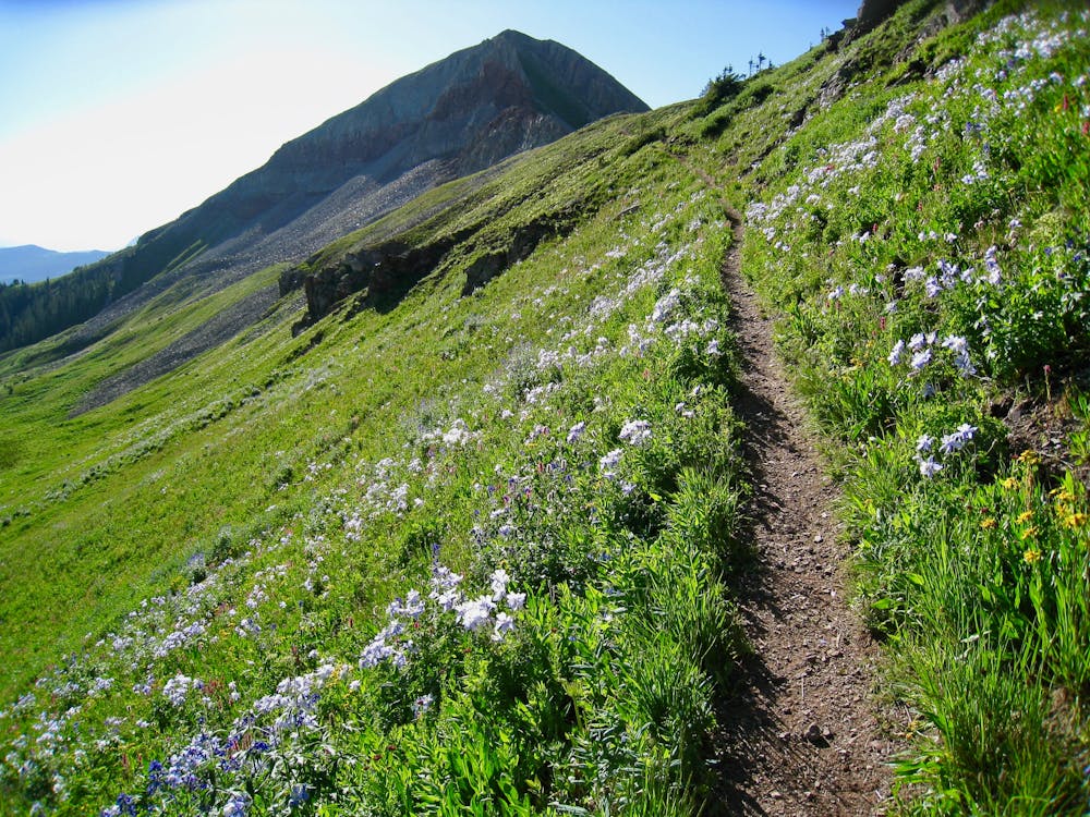
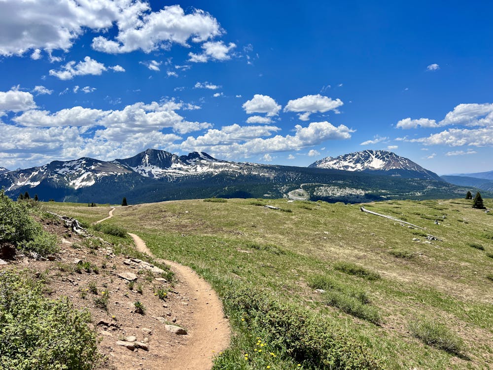
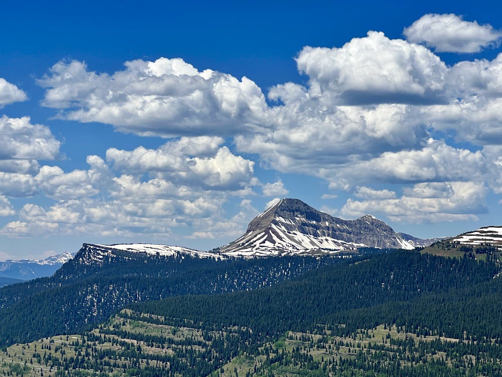
The first section of the Silverton to Durango stretch runs from Molas Pass to Engineer Mountain. The summit of Engineer Mountain towers over this entire region, rising to an elevation of 13,218 feet. While that might not sound like a lot compared to Colorado’s numerous 14ers, this mountain is still impressive!
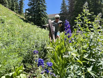
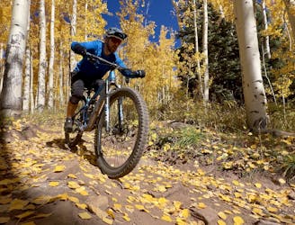
This segment is renowned for high alpine tundra and fields filled with wildflowers in the early summer. In the fall, whispering aspen groves turn a brilliant gold, providing some of the best leaf peeping in the state.
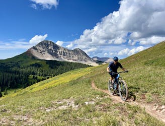
Section 2
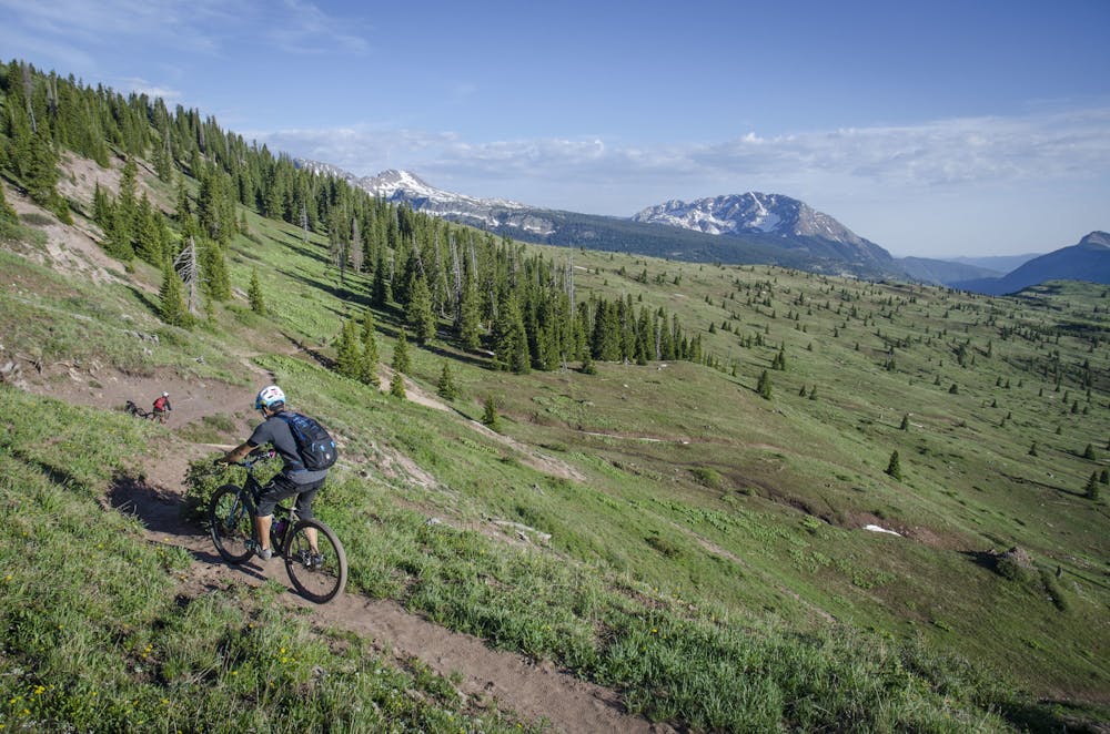
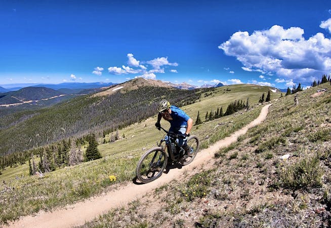
The Blackhawk Pass segment climbs steeply up to the top of the pass on narrow, mostly smooth singletrack with the characteristic jaw-dropping views. But once on top, it’s time to rip down! "The 10 miles of downhill from the top of Blackhawk Mountain is some of the best there is,” writes John Robinette on DurangoBikeTours.com. "It is EPIC!”
Section 3
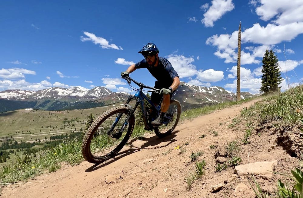
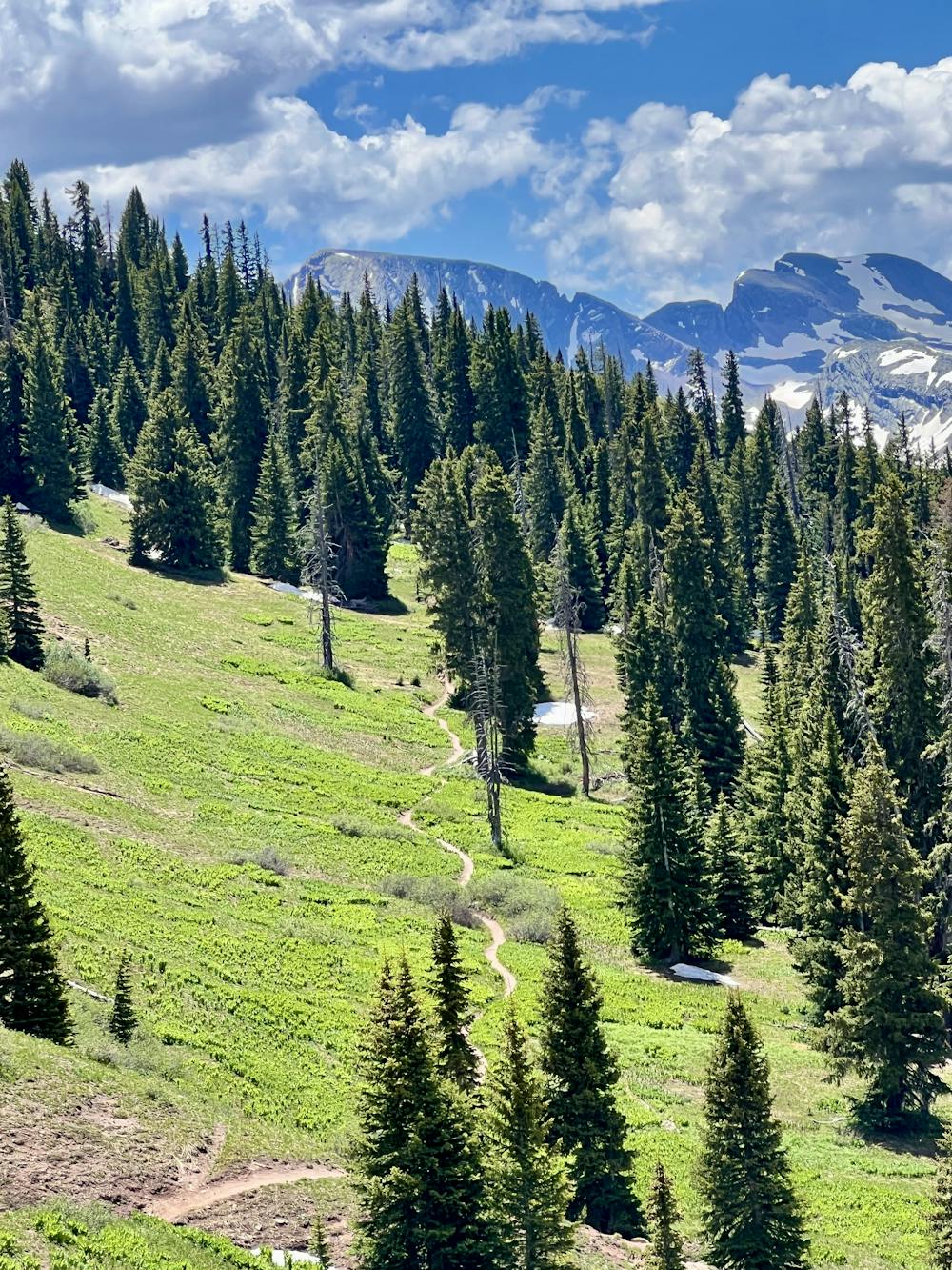
Section 3, also known as Segment 27 of the Colorado Trail, runs for 20.6 miles from Hotel Draw Road to the Kennebec Trailhead, climbing a whopping 4,186 feet along the way. The miles will feel like they’re ticking along quickly, as the views from Indian Trail Ridge are to die for! Granted, some through hikers and bikers report going numb to the incredible views that the Colorado Trail affords by the time they reach this section.
Section 4
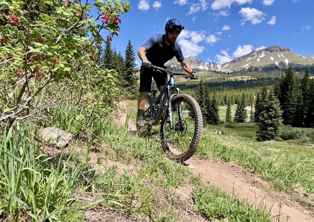
The final section of the Colorado Trail, running from Kennebec Pass to the trail's terminus just outside of the town of Durango, makes for an epic shuttle ride.
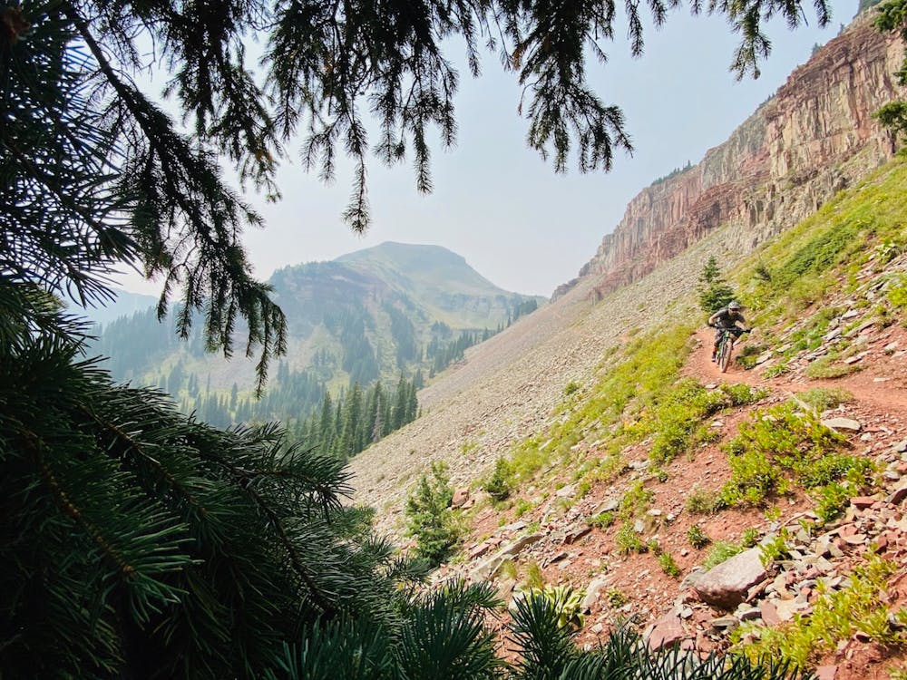
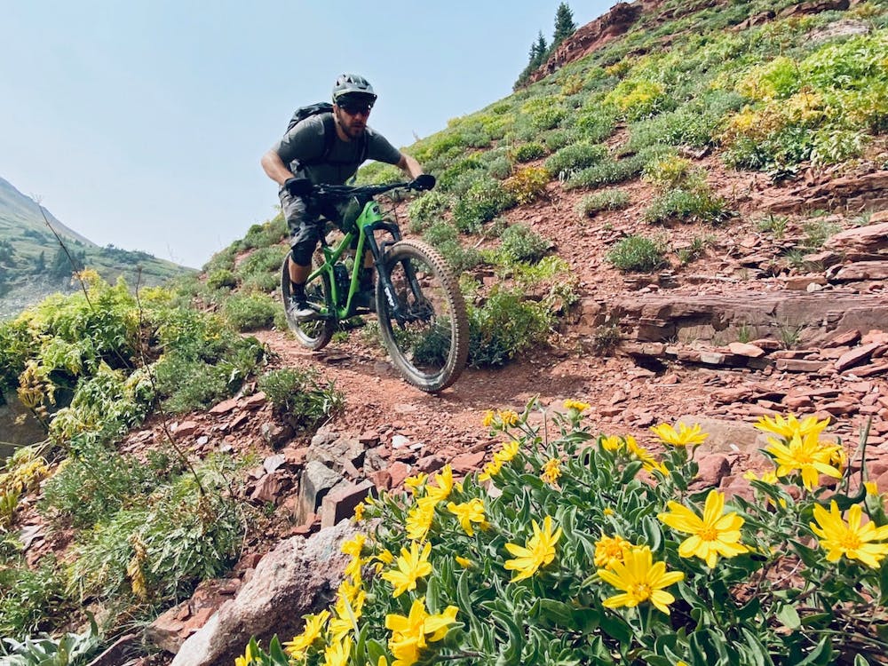
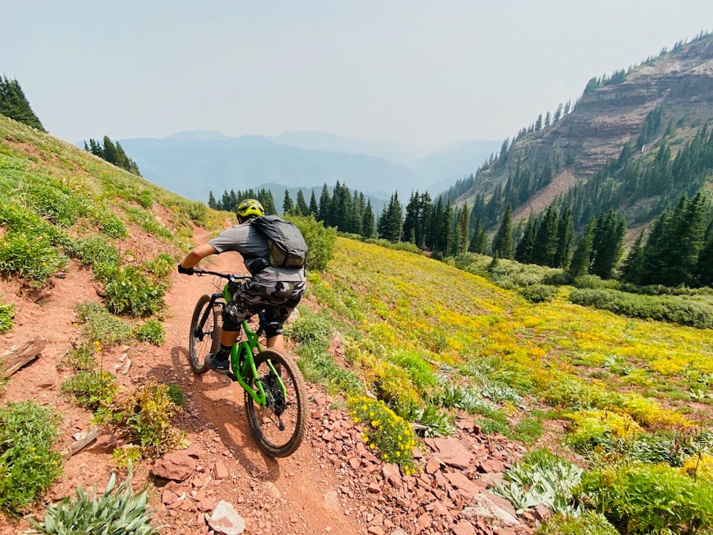
The top of Kennebec Pass rises above tree line, providing incredible views of the San Juan mountains in all direction. Right off the top, the trail drops fast and furious, hugging the mountainside as it traverses a technical scree field.
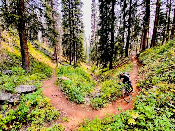
Once the trail enter the trees the technical, rocky nature--now mixed with roots--continues, demanding complete attention.
A moderate climb about halfway through the descent will keep you honest, and then the shredding continues! Drops, roots, boulders--as the singletrack transitions down into drier climate zones, the technical challenges just keep coming, all the way until the final relatively-smooth stretch before the trail's terminus.
While cross country riders could undoubtedly enjoy this trail as well, enduro-oriented mountain bikers riding bikes with a lot of suspension travel are guaranteed to love this beautiful, challenging descent!
Severe
Widely variable, narrow trail tread with steeper grades and unavoidable obstacles of 15in/38cm tall or less. Obstacles may include unavoidable bridges 24in/61cm wide or less, large rocks, gravel, difficult root sections, and more. Ideal for advanced-level riders.

The trail contains some obstacles such as outcroppings and rock which could cause injury.

In the high mountains or remote conditions, all individuals must be completely autonomous in every situation.
2 m away
World-class alpine scenery capped with a 4,000-foot descent!
Severe Mountain Biking
3 m away
The inaugural segment of the famous Silverton to Durango stretch of the Colorado Trail.
Severe Mountain Biking
7.2 km away
A short but high-value alpine ride easily accessible from the Million Dollar Highway.
Difficult Mountain Biking
8.3 km away
A point-to-point shuttle on one of Durango's best high-country trails.
Severe Mountain Biking
8.3 km away
The most popular high-country descent near Durango.
Difficult Mountain Biking

26 routes · Mountain Biking
4 routes · Mountain Biking
8 routes · Mountain Biking