4.7 km away
Y Couloir

Probably the longest, most consistent rock-lined chute in the Wasatch if you're into that sort of thing.
Severe Ski Touring
- Distance
- 1.7 km
- Ascent
- 20 m
- Descent
- 993 m

Stairs Gulch is 4,000 feet long, serious with a combination of a steep, technical chute and a flat, more mellow finish.
Ski Touring Difficult

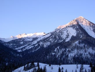
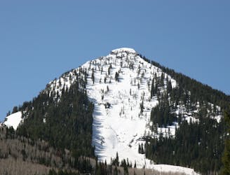
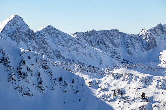
Stairs Gulch tops out at the same unnamed 10,400 foot high point as Bonkers. It's huge open headwall is composed of steep rock slabs. It has generated some of the largest avalanches in the Wasatch Mountains. It's safest and easiest to access from the Broads Fork trailhead at the "S curves" in Big Cottonwood Canyon; follow the summer trail, then up Bonkers. Or, it is also possible to go straight up it; park at the Storm Mountain pull-out and hike right up Stairs Gulch.
This is a huge line through very beautiful terrain that can hold great snow since it's N facing and doesn't see much sun. Due to the rocky nature and large change in elevations, Stairs Gulch can vary greatly from year to year and from time of season. There is a fun, but short entry couloir that will deposit you out onto the open face. In a big winter this line can fill in very well and have several variations down it. However, in lean winters there can be many cliffs forcing you into a tight pinch where you may or may not encounter a short 10-20 foot ice section.
After this choke the run opens up into a huge amphitheater of mellow angled terrain. You will then funnel into a lower chute with just enough room for turns. This section lasts for a few hundred feet before it then opens up again.
The remainder of Stairs Gulch is very flat, but can vary greatly depending on snowpack and whether the face has avalanched, and how far the debris has run. It can be thin coverage skiing over rocks with many stream crossings, or it can be completely filled in all the way to the road. If you encounter the stream then stay to the right as you ski under Storm Mountain, which is the huge rocky face off to skiers left. You may be forced to take your skis off down low to cross the stream to the left bank, but cross back over to the right and you'll eventually hit a narrow trail and ski or walk out until you encounter the road.
Difficult
Serious gradient of 30-38 degrees where a real risk of slipping exists.
4.7 km away

Probably the longest, most consistent rock-lined chute in the Wasatch if you're into that sort of thing.
Severe Ski Touring
5.7 km away

A big fun run off of Kessler Peak with some great chute and trees skiing involved.
Difficult Ski Touring
6 km away

This is the huge avalanche path that's visible from the road on the N slope of Kessler Peak.
Difficult Ski Touring
6.1 km away

Major Tom is a steep and sporty couloir in a remote corner of the Wasatch that can have a few rappels to navigate!
Extreme Ski Touring
6.3 km away

The Dresden is one of the longest and most continually steep faces in the Wasatch.
Severe Ski Touring
6.4 km away

Scotty's is a classic north facing roadside attraction in upper Little Cottonwood Canyon.
Difficult Ski Touring
7.1 km away

Virginia Slims is the fun dogleg chute next to the more popular Old Growth chute in the lower reaches of Cardiff Fork.
Difficult Ski Touring
7.1 km away

Old Growth chute is a mini classic that provides great rock wall lined ambience and easy access.
Difficult Ski Touring
7.2 km away

Memorial #1 is a very long and clean chute that runs off the ridge of the S summit of Mount Olympus.
Difficult Ski Touring
7.3 km away

Tolcat Canyon is the large and prominent chute that splits the N and S summits of Mount Olympus.
Difficult Ski Touring

18 routes · Resort Ski Touring · Ski Touring