1.6 km away
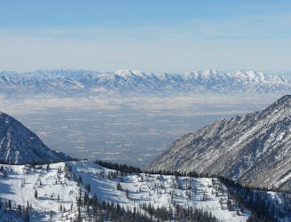
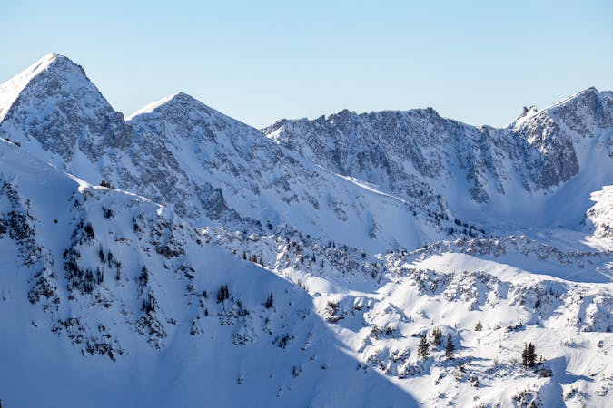
Dresden Face

The Dresden is one of the longest and most continually steep faces in the Wasatch.
Severe Ski Touring
- Distance
- 658 m
- Ascent
- 0 m
- Descent
- 493 m

Probably the longest, most consistent rock-lined chute in the Wasatch if you're into that sort of thing.
Ski Touring Severe

The Y Couloir is a mega classic roadside attraction in Little Cottonwood Canyon. What's not to love with over 3,000 feet of engaging turns on a consistent pitch in the 40 degree range.
To access, park at the pull-out on your right 2.7 miles up Little Cottonwood Canyon, follow the road down to the river, find a good crossing and head towards the apron. Boot right up the sucker, but most likely the booter will be in.
This is a very popular run with incredibly easy access, so don't plan on being alone and be aware of other skiing above and below you. If the way isn't clear, you'll want to take the first right branch, then the next left and that will lead you into the gut. There is some great steep tree skiing in the upper headwall to the skiers left if the center chute is all tracked out. Gaining the ridge can be a real bear since the snow is usually just facets on rock, but it's fun to get up there and gain the view. You can also use this as access to Coalpit Headwall, just continue along the ridge towards the S.
Severe
Steep skiing at 38-45 degrees. This requires very good technique and the risk of falling has serious consequences.
1.6 km away

The Dresden is one of the longest and most continually steep faces in the Wasatch.
Severe Ski Touring
4.7 km away

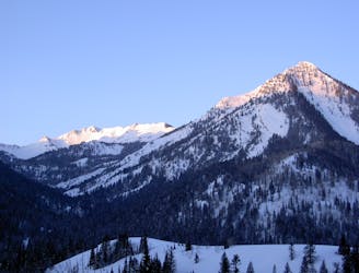
Scotty's is a classic north facing roadside attraction in upper Little Cottonwood Canyon.
Difficult Ski Touring
4.7 km away

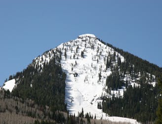
Stairs Gulch is 4,000 feet long, serious with a combination of a steep, technical chute and a flat, more mellow finish.
Difficult Ski Touring
8.9 km away

A big fun run off of Kessler Peak with some great chute and trees skiing involved.
Difficult Ski Touring
9.3 km away

This is the huge avalanche path that's visible from the road on the N slope of Kessler Peak.
Difficult Ski Touring
9.3 km away

Old Growth chute is a mini classic that provides great rock wall lined ambience and easy access.
Difficult Ski Touring
9.4 km away

Virginia Slims is the fun dogleg chute next to the more popular Old Growth chute in the lower reaches of Cardiff Fork.
Difficult Ski Touring

18 routes · Resort Ski Touring · Ski Touring