9 m away
Easy Mile Uphill

A basic route for uphill access during open hours at Stowe.
Easy Resort Ski Touring
- Distance
- 2 km
- Ascent
- 271 m
- Descent
- 0 m
Ski tour on the historic Toll Road going up Mount Mansfield.
Resort Ski Touring Easy

The Toll Road makes the summer driving route up Mount Mansfield, but in the winter it’s a remote-feeling green run at Stowe. The road snakes through deep woods and connects to only a few other runs at the south edge of the resort. From bottom to top Toll Road rises 2400 feet in about 4 miles, making quite a long tour if you take it all the way. You could of course go just partway up, then enjoy a mellow ski from wherever you choose to turn around.
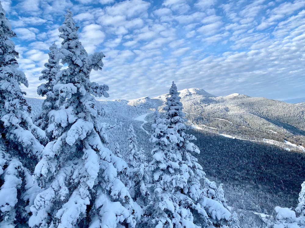
Stowe allows uphill access on a handful of designated routes, which vary by time of day. Toll Road is designated as an “evening route,” open from 4:30pm until midnight according to the resort’s uphill policy. No pass is needed, but you must follow the policy and other guidelines found on the Mountain Safety webpage.
Easy

Away from help but easily accessed.
9 m away
A basic route for uphill access during open hours at Stowe.
Easy Resort Ski Touring
2.8 km away
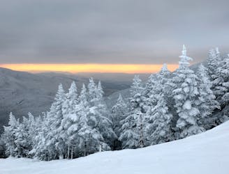
Evening uphill access to the top of Stowe Resort.
Moderate Resort Ski Touring
2.8 km away
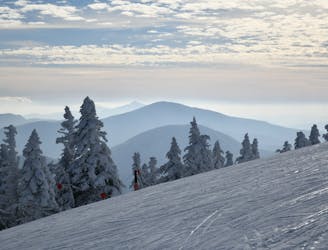
The route for morning uphill laps at Stowe.
Difficult Resort Ski Touring