3.3 km away
Carvin's Cove Lower Trails
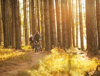
A superb selection of Carvin Cove's flowiest trails.
Moderate Mountain Biking
- Distance
- 23 km
- Ascent
- 405 m
- Descent
- 404 m
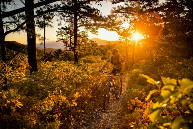
The rowdiest, most technical descent at Carvin's Cove.
Mountain Biking Severe

The Carvin's Cove trail system is the undisputed mountain biking hotspot in the Roanoke region. The entire trail network is situated on land owned by the city of Roanoke. At 12,000 acres in size, "it is the second largest municipal park in the United States (behind South Mountain Park in Phoenix, Arizona)," according to an article on Singletracks.com.
Carvin's Cove offers 40 miles of singletrack and has "another 40 in the works," according to RootsRated.com. The trails are split into roughly two halves: the high trails that run up and down the mountain, and the lower trails near the base.
The Gauntlet is the rowdiest, most technical descent off the top of the mountain. Compared to the other trails, “the Gauntlet, on average, is much more open with much better flow, allowing you to conserve your speed and blast down the mountain!” according to an article on Singletracks.com "There are tons of corners to carve up towards the top, but as the trail descends it gets rockier and rootier, transitioning into a high-speed suspension testing zone. Drop the saddle and be prepared to rock on this trail!”
Since the Gauntlet is located on the east side of the ridge, it’s quite separated from the main Carvin’s Cove trailhead. There’s a smaller trailhead on this side that provides access to the Gauntlet, but in order to do a loop from this side riders must grind straight up the steep Trough trail… or more likely, hike-a-bike.
Sources: https://www.singletracks.com/blog/mtb-trails/trail-tuesday-carvins-cove-roanoke-virginia/ https://rootsrated.com/stories/is-roanoke-the-best-up-and-coming-mtb-destination-in-the-southeast
Severe
Widely variable, narrow trail tread with steeper grades and unavoidable obstacles of 15in/38cm tall or less. Obstacles may include unavoidable bridges 24in/61cm wide or less, large rocks, gravel, difficult root sections, and more. Ideal for advanced-level riders.

The trail contains some obstacles such as outcroppings and rock which could cause injury.
Away from help but easily accessed.
3.3 km away
A superb selection of Carvin Cove's flowiest trails.
Moderate Mountain Biking
3.3 km away

A popular loop that accesses the upper mountain at Carvin's Cove.
Severe Mountain Biking
5 routes · Mountain Biking