46 m away
SE King Left #2

An often-untracked steep glade in Silver Basin.
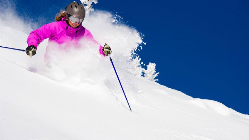
Severe Freeride Skiing
- Distance
- 454 m
- Ascent
- 0 m
- Descent
- 236 m
An open face along the SE side of Silver King ("The King") that leads into glades, chutes and cliffs.
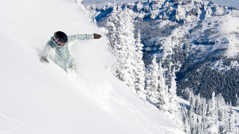
Freeride Skiing Difficult
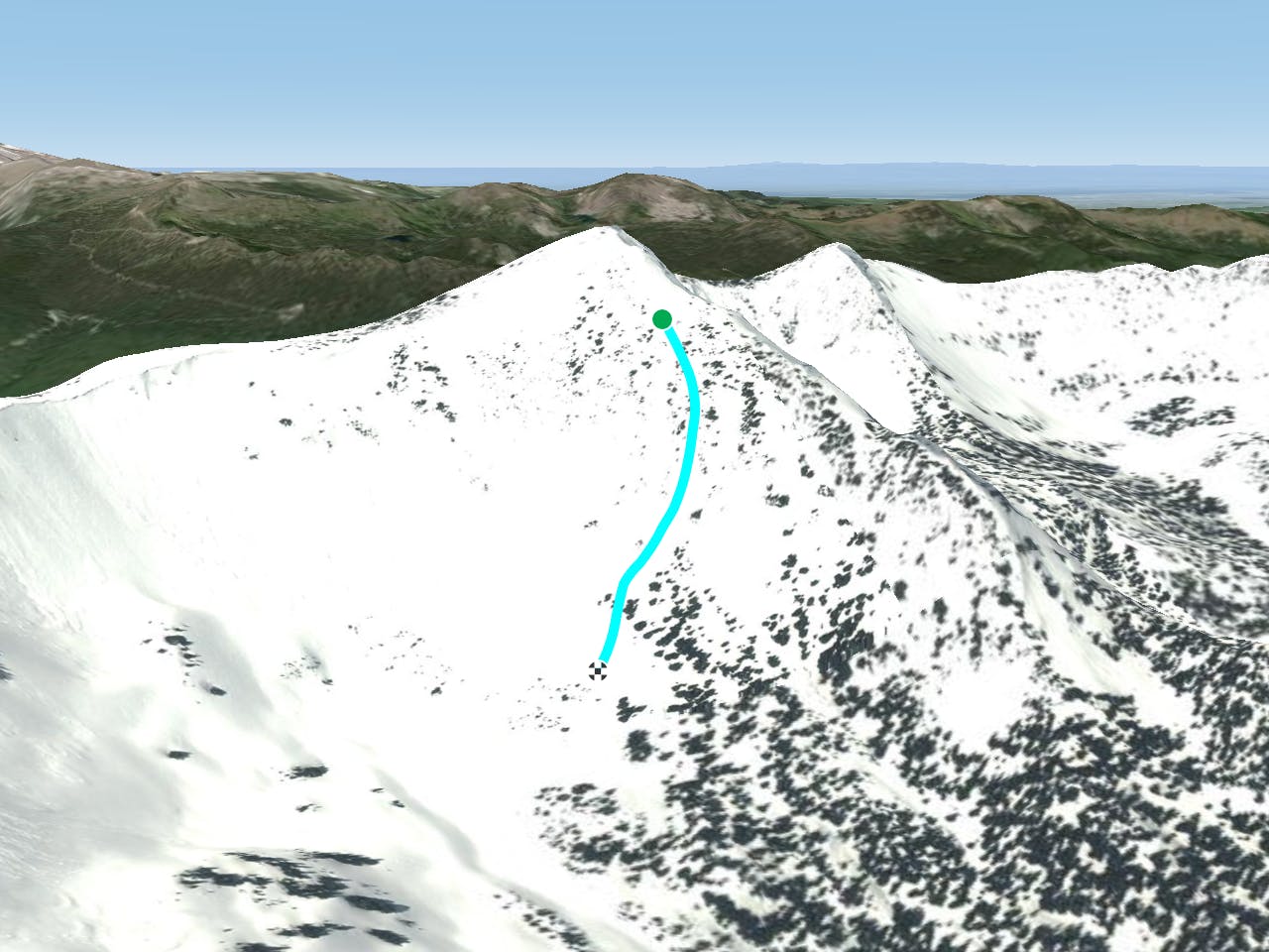
An open face along the SE side of Silver King ("The King") that leads into a variety of glades, chutes and cliffs (see run descriptions for more information). The SE side of The King offers plenty of great snow and steep terrain for experts willing to hike for it. Access through the first Southback gate and traverse to Kirner's Cornice where the boot pack to the summit of The King starts. Hike to the top of the King. SE Left is the treeless triangular slope between Lizard's Back Ridge and SE King Right Proper. The first few turns can be wind-effected or wind-loaded. The run fans out and quickly turns to a glade that holds fresh snow days after a storm. The most obvious fall line takes you to Divider Chute (see description) but by traversing left or right when the trees thicken can bring you to some delicious secret stashes.
Difficult
Serious gradient of 30-38 degrees where a real risk of slipping exists.

As well as the slope itself, there are some obstacles (such as rock outcrops) which could aggravate injury.
Away from help but easily accessed.
46 m away
An often-untracked steep glade in Silver Basin.
Severe Freeride Skiing
58 m away

This popular, wide-open chute is one of the easiest couloirs on the north side of the King.
Difficult Freeride Skiing
80 m away

A narrow, steep couloir on the north side of the King.
Severe Freeride Skiing
117 m away

This shallow couloir is a great first Double Black Diamond for those looking to challenge themselves on the north side of the King.
Difficult Freeride Skiing
120 m away

This is one of the best lines in Silver Basin, starting in an open face, funneling through a wide and shallow couloir and opening again to the lower basin.
Difficult Freeride Skiing
121 m away

This iconic and challenging couloir is for experts only.
Severe Freeride Skiing
122 m away

A steep, rocky face reserved for experienced experts
Extreme Freeride Skiing
134 m away

A steep, rocky face for experienced experts
Extreme Freeride Skiing
169 m away

A steep cliff requiring mandatory air.
Extreme Freeride Skiing
169 m away

This rarely explored, deep couloir is too narrow for most experts. Usually this gully is jumped in competitions.
Extreme Freeride Skiing
13 routes · Freeride Skiing · Ski Touring
14 routes · Freeride Skiing · Ski Touring