7.8 km away
Poo Poo Point
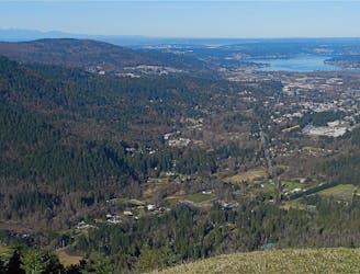
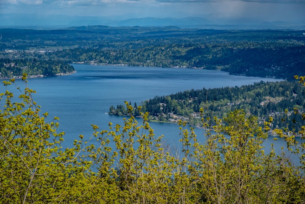
This grassy knoll on the shoulder of West Tiger Mountain provides beautiful views of Mt. Rainier and the nearby suburbs.
Moderate Hiking
- Distance
- 12 km
- Ascent
- 641 m
- Descent
- 641 m
One of the best trail systems near the Seattle suburbs.
Hiking Moderate
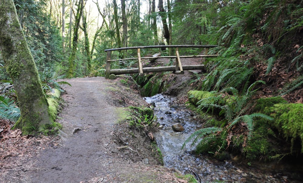
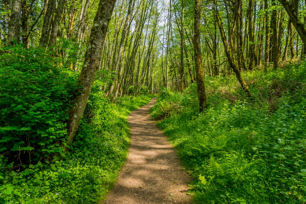
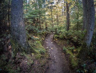
"Just 15 minutes from Seattle, King County’s Cougar Mountain Regional Wildland Park, is a trail running paradise thanks to its rolling and runnable hills and trail variety ranging from narrow and technical to wide and groomed,” writes NWTrailRuns.com. Naturally, the trails here are superb for hiking, too! At Cougar Mountain, you can hike "through lush forest, fern-lined singletrack, over hills and along marshes, just minutes from the city,” they continue.
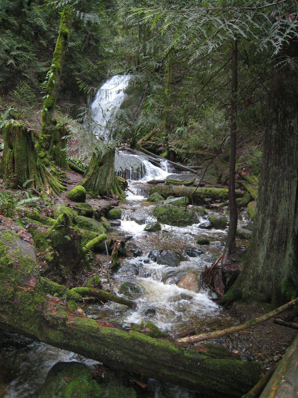
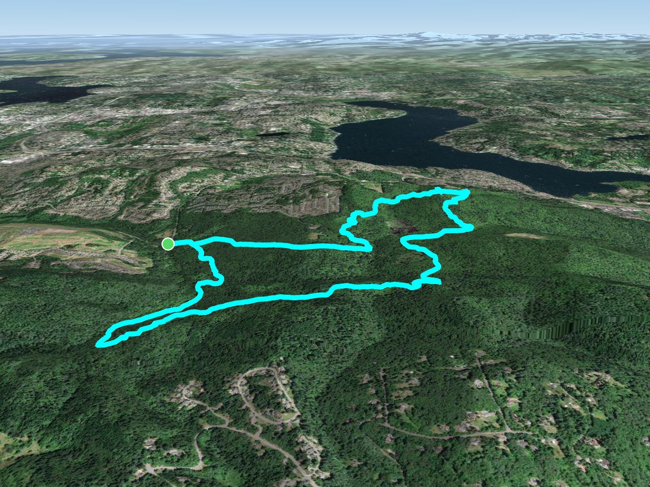
Cougar Mountain is one of the best-mapped trail systems in the Seattle suburbs. The great maps and trail signs make this 3,100-acre park very easy to navigate, which is convenient since this complex network is home to routes of many different lengths. (Source)
The loop mapped here covers 7.6 miles of trail, but you could hike for much longer if you prefer. In total, the park is home to 38 miles of hiking trails and 12 miles of equestrian trails. (Source)
To complete the loop as mapped, from the trailhead turn left on Cave Hole Trail and follow it to Old Man’s Trail, Coyote Creek Trail, and Lost Beagle Trail. Here, you’ll reach the 1,486-foot summit of the named Cougar Mountain. To complete the loop, follow Lost Beagle to Harvey Manning Trail, Cougar Pass Trail, Klondike Swamp Trail, Fred’s Railroad Trail, Shy Bear Trail, Far Country Trail, Indian Trail, and Red Town Trail.
Sources: https://rootsrated.com/stories/quick-dirty-guide-best-seattle-trail-running https://en.wikipedia.org/wiki/CougarMountainRegionalWildlandPark http://nwtrailruns.com/events/cougar-mountain-trail-run-series-1/
Moderate
Hiking along trails with some uneven terrain and small hills. Small rocks and roots may be present.

The trail contains some obstacles such as outcroppings and rock which could cause injury.
Away from help but easily accessed.
7.8 km away
This grassy knoll on the shoulder of West Tiger Mountain provides beautiful views of Mt. Rainier and the nearby suburbs.
Moderate Hiking
8.1 km away
A remote-feeling hike just minutes from downtown Seattle.
Difficult Hiking
9.4 km away
A point-to-point multi-use trail connecting Duthie Hill and West Tiger
Moderate Hiking

10 routes · Hiking

5 routes · Hiking