2.6 km away
PCT: Snoqualmie Pass to Stevens Pass
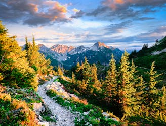
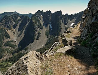
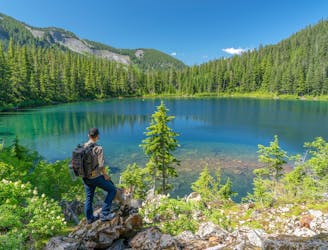
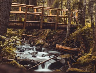
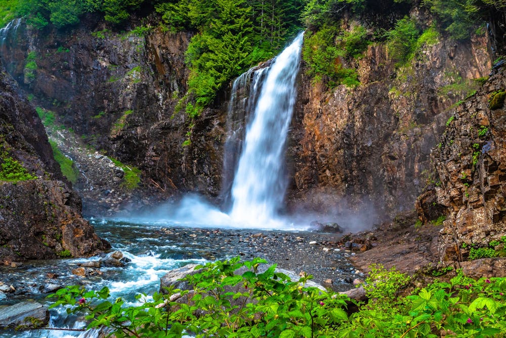
Miles 2393.2-2464.1 of the northbound PCT: Stunning views along a series of big ups and downs, between high mountain lakes and lush valley forest in the Alpine Lakes Wilderness.
Difficult Hiking
- Distance
- 112 km
- Ascent
- 4.9 km
- Descent
- 4.5 km