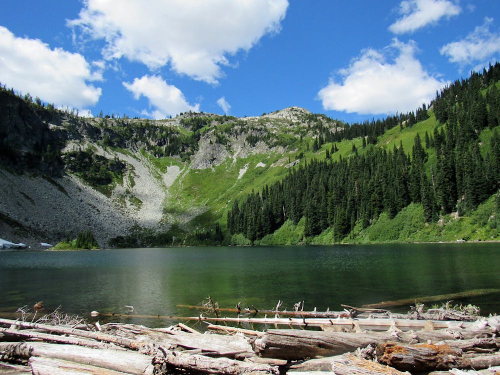
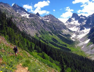
Though the loop is good in either direction, most hikers choose counterclockwise for the sake of gradual elevation gain. This begins with Maple Pass Trail departing from Rainy Pass Picnic Area. The trail starts uphill right away, and makes a steady ascent through conifer forest with lush understory. At 1.25 miles you’ll reach the junction for Lake Ann. This optional side trip is quick and easy, taking a mostly flat spur to reach the shore of a tree-lined lake within a carved-out cirque.
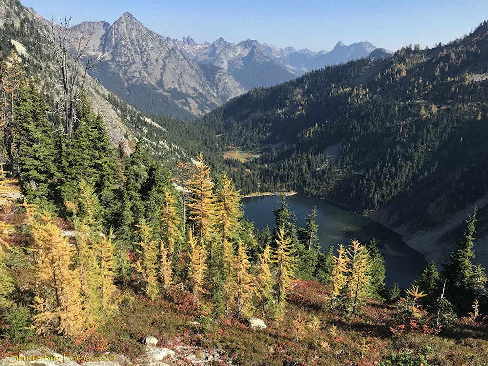
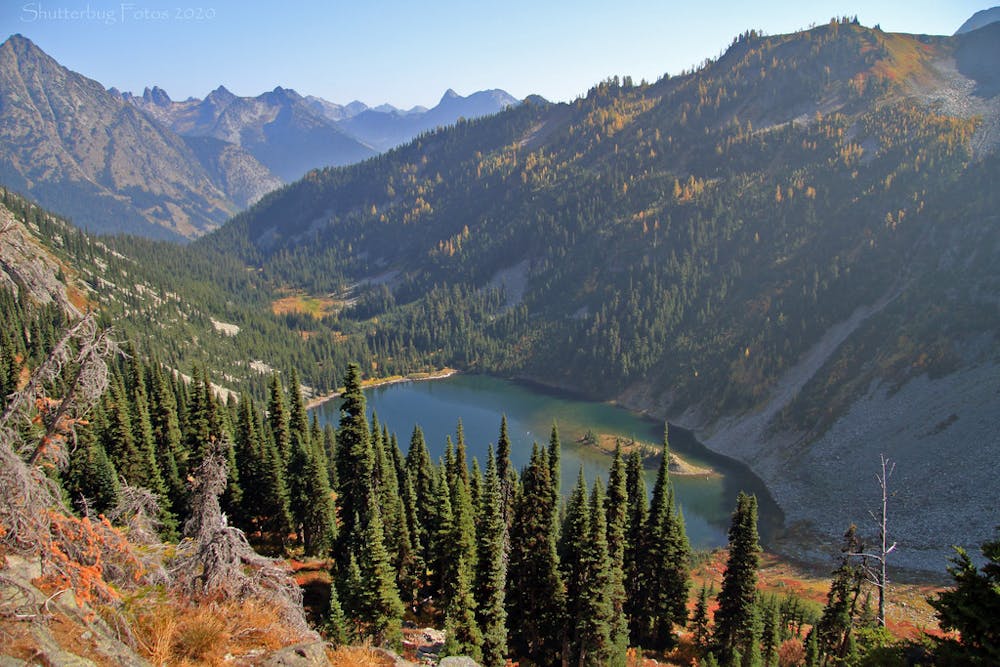
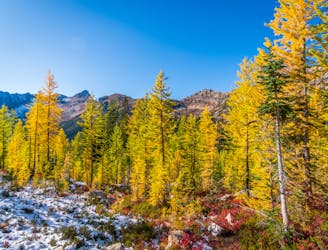
Beyond this junction, the main begins a rocky ascent to the rim of the cirque, where you’ll get great views down to the lake and its small island. As the trail climbs higher, the trees thin out, and flowering bushes cover the mountainside. Common among them is alpine heather with its pink blossoms, but it’s particularly fragile and undergoing restoration here, so be sure to stay on the trail.
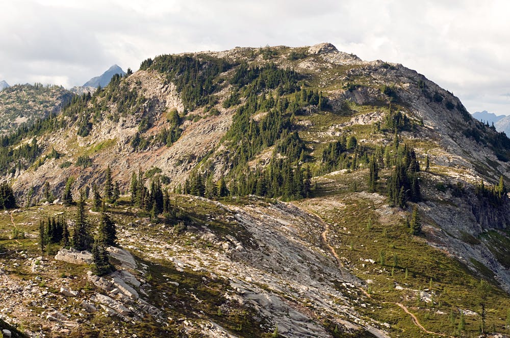
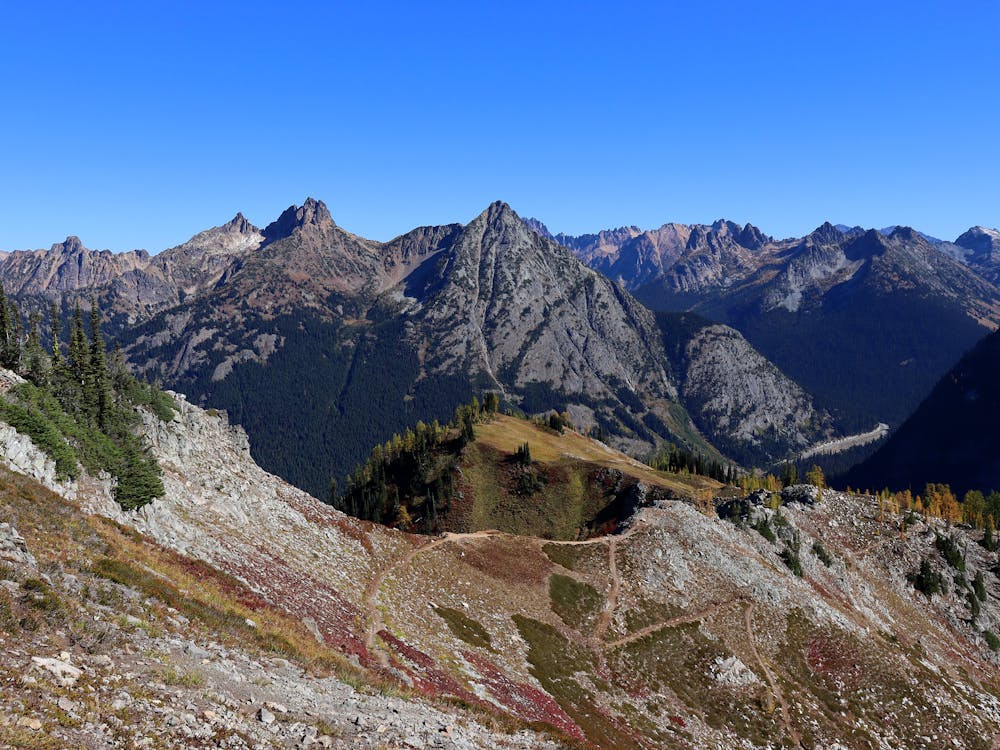
Looking up at where you still have to go, you can clearly see the skyline of the ridge, with imposing cliffs near the top. The trail works its way steadily upward, through spruce-studded meadows with panoramic views, to eventually reach a highpoint above Maple Pass. From this vantage you’ll see glaciated peaks of the North Cascades on every distant horizon.
The trail then begins to descend, working its way through similar terrain on the other side of the cirque. It’s a gradual downhill through the mountainside meadows at first, but once re-entering the forest it takes to rather aggressive switchbacks. These connect soon enough with the Rainy Lake Trail, which is paved and level for the final half mile back to the picnic area.
Sources:
https://www.wta.org/go-hiking/hikes/maple-pass
https://www.washingtonhometown.com/blog/maple-pass