5.6 km away
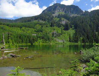
Talapus Lake

A mellow hike to a stunning alpine lake.
Moderate Hiking
- Distance
- 5.7 km
- Ascent
- 221 m
- Descent
- 221 m
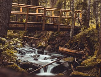
Trail through all lakes.
Hiking Severe

This is a popular hiking route which is generally considered to be severe. It's very remote, it features high exposure and is typically done between July and October. From a low point of 259 m to the maximum altitude of 1.7 km, the route covers 21 km, 1527 vertical metres of ascent and 1921 vertical metres of descent.
Amazing hike summitting mount defiance and visiting lakes.
Severe
Hiking challenging trails where simple scrambling, with the occasional use of the hands, is a distinct possibility. The trails are often filled with all manner of obstacles both small and large, and the hills are very steep. Obstacles and challenges are often unexpected and can be unpredictable.

Some trail sections have exposed ledges or steep ascents/descents where falling could cause serious injury.
Little chance of being seen or helped in case of an accident.
5.6 km away
A mellow hike to a stunning alpine lake.
Moderate Hiking
5.6 km away
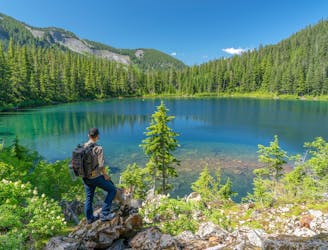
A mellow hike to two stunning alpine lakes, with the option to camp at either one.
Moderate Hiking
8.2 km away
Escape the crowds on this isolated hike to Granite Lakes.
Difficult Hiking
9 km away
A spectacular alpine lake high above Snoqualmie Pass.
Difficult Hiking
9.7 km away
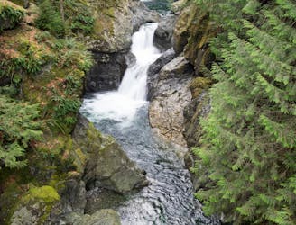
Hike to two incredible waterfalls in a narrow gorge.
Moderate Hiking

10 routes · Hiking

19 routes · Hiking