48 m away
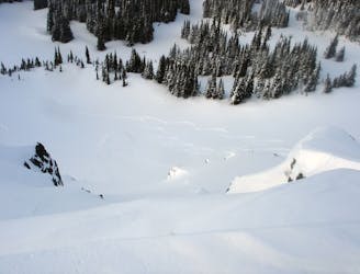
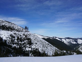
Crystal Lakes Basin Loop
Linking up 3 great runs in a single day
Moderate Ski Touring
- Distance
- 11 km
- Ascent
- 1.3 km
- Descent
- 1.3 km
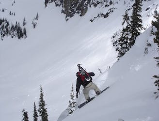
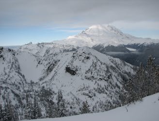
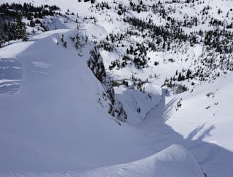
A direct route to Pickhandle Peak done in stable snow
Ski Touring Difficult

This is a popular ski touring route which is generally considered to be difficult. It's an unknown remoteness, it features unknown exposure and is typically done in an unknown time of year. From a low point of 1.3 km to the maximum altitude of 1.9 km, the route covers 3.7 km, 583 vertical metres of ascent and 18 vertical metres of descent.
The route switches back through dense trees ending the basin than climbs the west ridge to the peak
Difficult
Serious gradient of 30-38 degrees where a real risk of slipping exists.
48 m away
Linking up 3 great runs in a single day
Moderate Ski Touring
50 m away
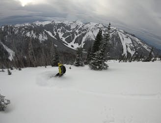
Two options for riding the Gunbarrel area
Moderate Ski Touring
60 m away
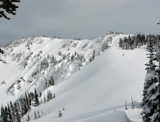
A scenic tour following the border of Norse Peak Wilderness
Moderate Ski Touring
60 m away
The perfect ski tour within the Crown Point area
Moderate Ski Touring
61 m away
Making the most out of a day around Norse Peak
Moderate Ski Touring
62 m away
A full day of ski touring around Crystal Peak with an exit down 410
Difficult Ski Touring
62 m away
The perfect day ski touring on East Peak
Moderate Ski Touring
63 m away
A brutal journey to a nice north facing basin
Difficult Ski Touring
63 m away
A 4 day trip though dense forests in an area usually only used in Summer
Difficult Ski Touring
64 m away
A sketchy line made even sketchier by its remoteness
Difficult Ski Touring

11 routes · Ski Touring