8.3 km away
Seeley Pass -> Ojibwe Lollipop

Flowy northwoods singletrack, with over 100 berms on the Flow Mama trail alone!
Moderate Mountain Biking
- Distance
- 49 km
- Ascent
- 905 m
- Descent
- 905 m
One of CAMBA's most feature-rich trails.
Mountain Biking Difficult

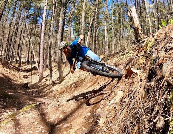
Dirt Candy is renowned as one of the most feature-rich trails in the CAMBA trail system. Built by the talented trail building company by the same name, Dirt Candy can easily be incorporated into a much longer ride. But if you're looking to get sendy or simply want to play bikes on a bevy of entertaining trail features, the route shown here maximizes the fun and jumps while minimizing the distance.
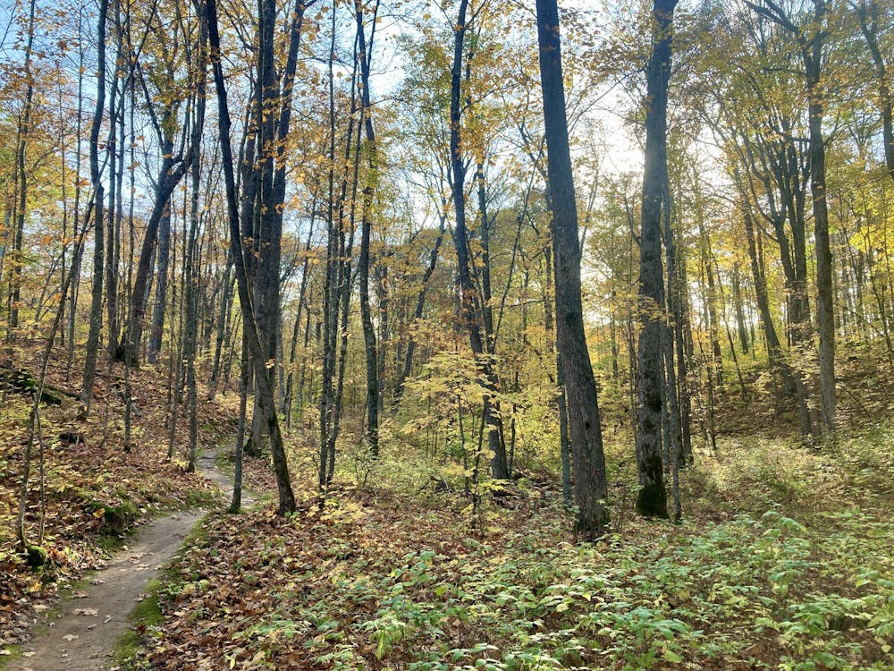
Begin the ride from the small trailhead on Spider Lake Fire Lane by pedaling straight up Dirt Candy. You'll climb past a slew of tabletop jumps and kickers, but don't worry: you'll get to enjoy these on the way back down!
The climb shown here runs all the way to the junction with the Ojibwe Trail. Once there, turn around, pull up your pads, and get ready to shred!
The route back down the hills turns off of the climbing route onto two alternate lines which lead to several much more challenging trail features. On these alternate lines, you'll encounter several drops and a few optional gap jumps. If you're not up for hitting the gaps, you can easily ride around them.
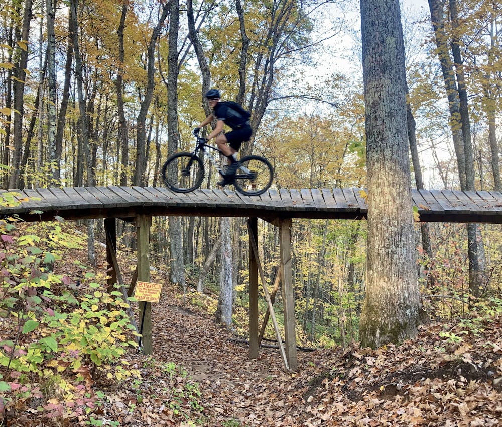
The most visually-impressive feature is the Spiral: a curved, elevated wooden bridge that creates an over-under feature as riders spiral over the top and then pass under the bridge on the dirt below. While not technical at all, this bridge feature is a true crowd-pleaser!
After enjoying the features on the alternate lines, you'll still get to enjoy a fast, flowy descent back to the trailhead. Finally, you'll get to rip into the berms and air out the tabletops that you were drooling over during the climb to the top.
Haven't had enough yet? Pedal back up for a second lap!
Difficult
Mostly stable trail tread with some variability featuring larger and more unavoidable obstacles that may include, but not be limited to: bigger stones, roots, steps, and narrow curves. Compared to lower intermediate, technical difficulty is more advanced and grades of slopes are steeper. Ideal for upper intermediate riders.

Some trail sections have exposed ledges or steep ascents/descents where falling could cause serious injury.

Away from help but easily accessed.
8.3 km away
Flowy northwoods singletrack, with over 100 berms on the Flow Mama trail alone!
Moderate Mountain Biking
8.3 km away

Northern Wisconsin's classic IMBA Epic ride.
Difficult Mountain Biking
8.3 km away
A classic rocky loop in the Northwoods.
Difficult Mountain Biking
8.4 km away
According to CAMBA, "you will love this ride!"
Moderate Mountain Biking
8 routes · Mountain Biking