81 m away
Seeley Pass -> Ojibwe Lollipop

Flowy northwoods singletrack, with over 100 berms on the Flow Mama trail alone!
Moderate Mountain Biking
- Distance
- 49 km
- Ascent
- 905 m
- Descent
- 905 m
According to CAMBA, "you will love this ride!"
Mountain Biking Moderate

For an entertaining, remote ride through the CAMBA Trail system, dubbed the "Singletrack Capital of the Midwest," consider pedaling the Makwa Trail to the Hatchery Loop, and back again. This trail system in the Chequamegon-Nicolet National Forest is home to over 300 miles of trail, making it difficult to pick the perfect ride. But the Makwa Trail to Hatchery receives rave reviews from riders all over the internet.
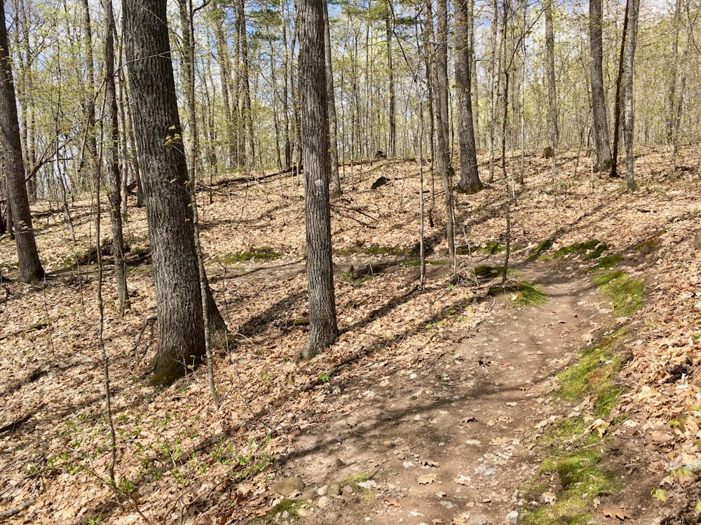
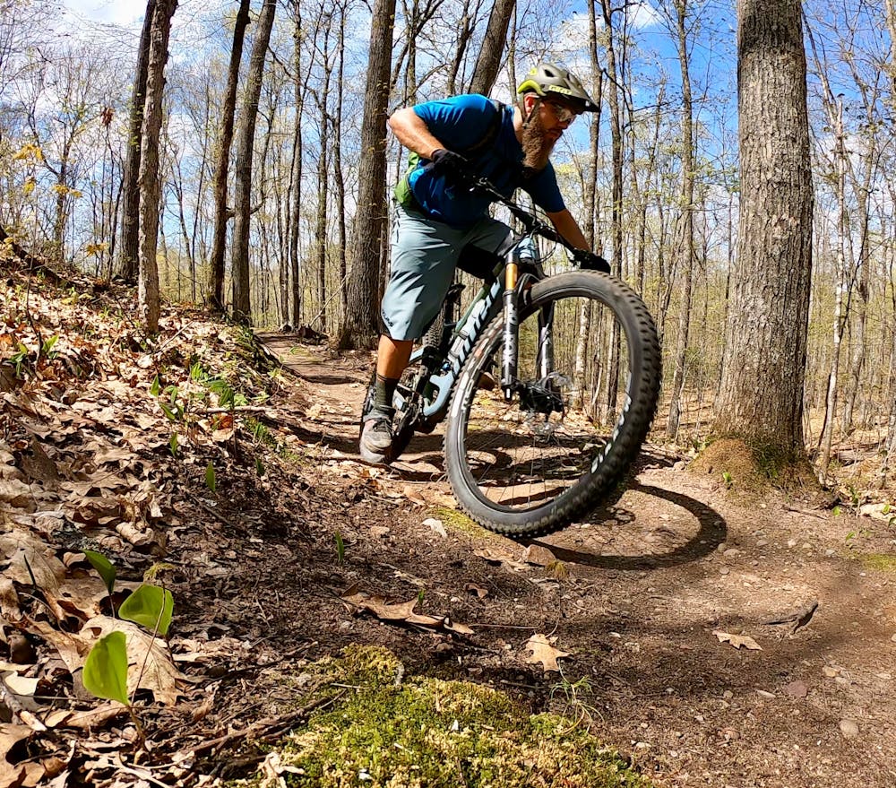
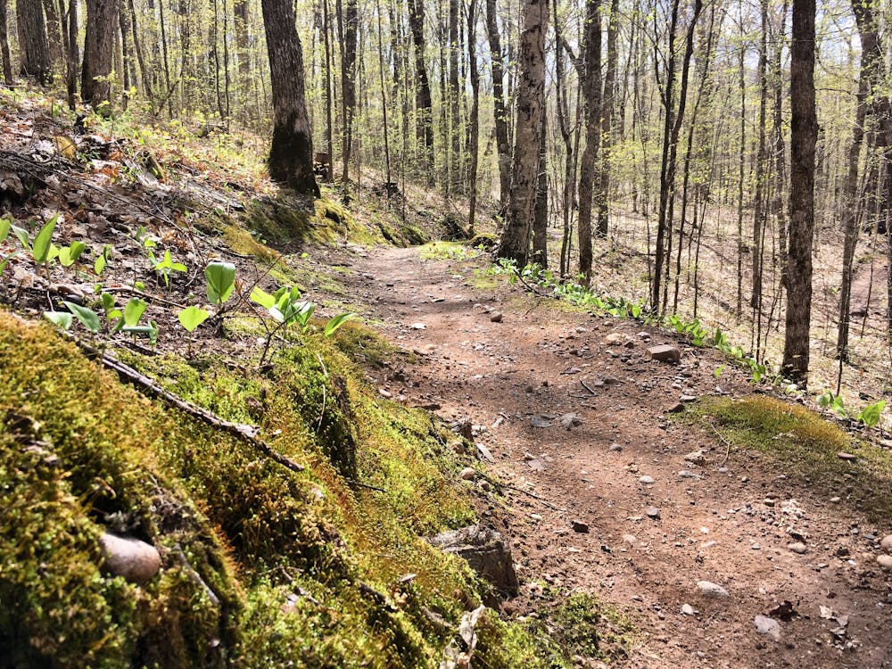
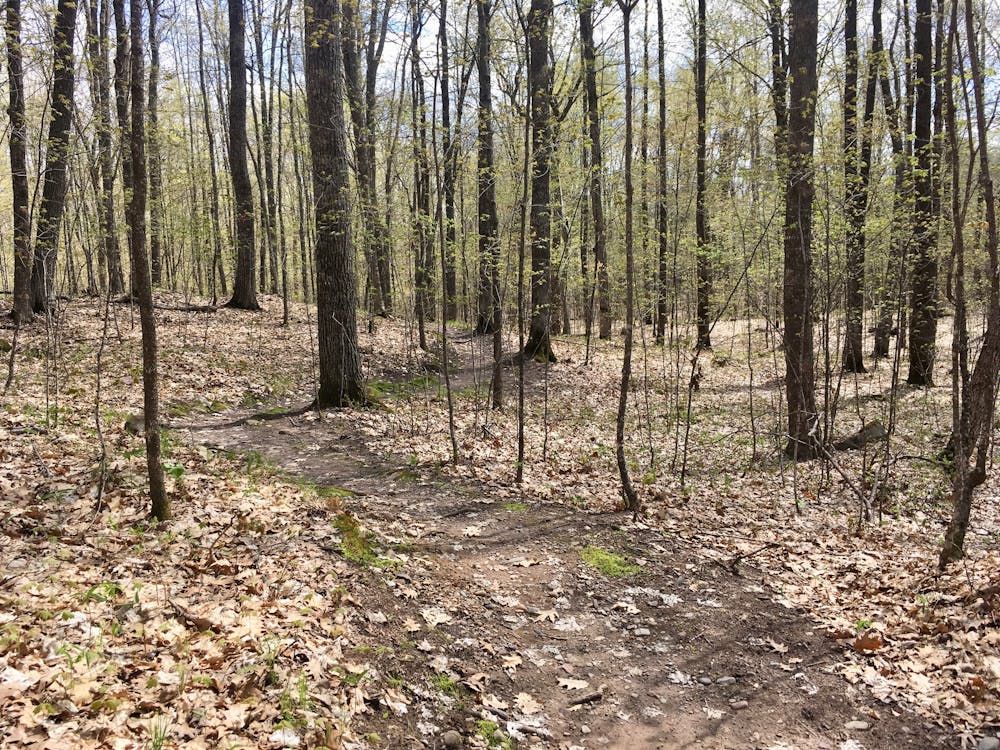
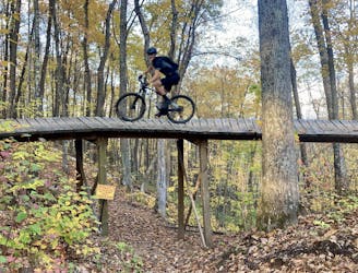
CAMBA's high-quality trail building is fully on display on this ride. High-quality bench cut singletrack provides delightful swoop and flow, creating such an entertaining ride quality that you'll be covering miles upon miles of singletrack before you even realize just how far you've pedaled! CAMBA themselves characterizes the Makwa trail as "twisting, climbing, fun, flowing singletrack," asserting that "you will love this ride!"
The Hatchery Trail, the loop reward on the end of this lollipop, consists of "rolling singletrack, moderately technical through glaciated terrain," according to CAMBA. It's "not a beginner's trail, but a thoroughly fun singletrack romp."
Hatchery is located just outside the town of Hayward, which serves as a tourism hub in Northern Wisconsin. With in-town tourism attractions, lodging, food, and craft beer, Hayward is the perfect basecamp for riding in the area (if you don't want to camp). Consequently, Hatchery is one of the most easily-accessible trails in the massive CAMBA trail system. If the 29.5-mile lollipop route mapped here is too much for you, consider just riding the 8.9-mile Hatchery trail which offers "1, 2, 4, 6, and 7 mile cut-offs."
Moderate
Mostly stable trail tread with some variability, with unavoidable obstacles 8in/20cm tall or less. Other obstacles such as rock gullies and steep sections may exist. Ideal for lower intermediate riders.

The path is on completely flat land and potential injury is limited to falling over.

Away from help but easily accessed.
81 m away
Flowy northwoods singletrack, with over 100 berms on the Flow Mama trail alone!
Moderate Mountain Biking
8.4 km away
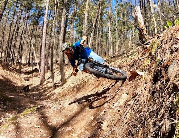
One of CAMBA's most feature-rich trails.
Difficult Mountain Biking
8 routes · Mountain Biking