419 m away
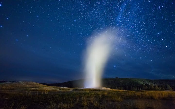
Observation Point to Geyser Hill
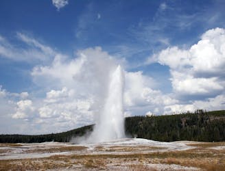
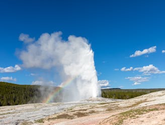
An easy 2.3 mile loop taking you up close to Yellowstone’s famous hot springs and gushing geysers.
Easy Hiking
- Distance
- 4.1 km
- Ascent
- 99 m
- Descent
- 99 m
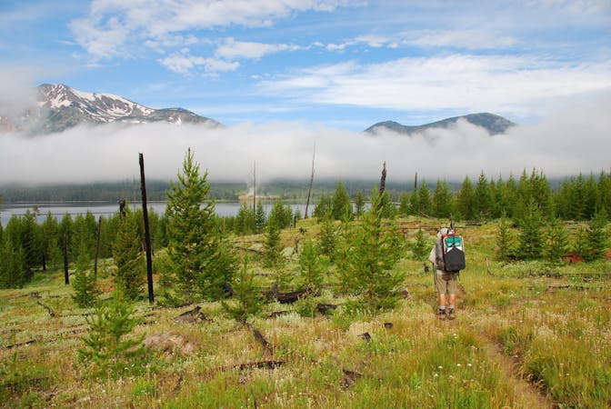
Taking you away from the crowds and into the wilderness, this 26-mile epic trail brings you along Bechler River and to the many magnificent waterfalls in Yellowstone’s Cascade Corner.
Hiking Difficult
Taking you away from the crowds and into the wilderness, this 26-mile epic trail brings you along Bechler River and to the many magnificent waterfalls in Yellowstone’s Cascade Corner.
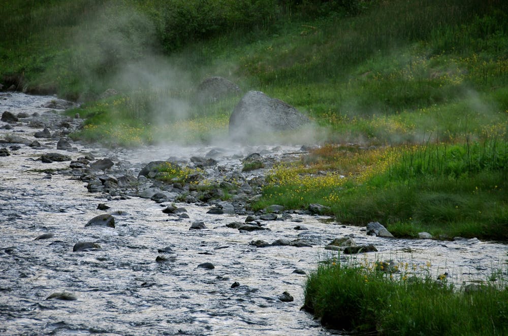
The route is a mix of meadows, canyons, waterfalls and more. You’ll head over Grants Pass, pass Mr. Bubbles hot springs, down Bechler Canyon, across the Continental Divide, through Bechler Meadows, eventually ending up at the illustrious Cave Falls.
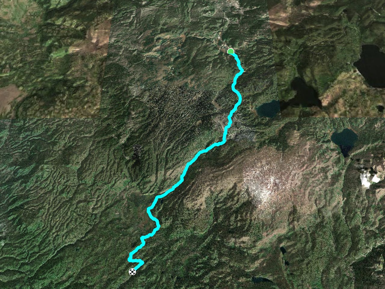
Directions
The trail begins on Shoshone Lake Trail, south of Grants Pass, and begins with a 650ft climb within the first two miles, across a Continental Divide crossing, before it takes you all the way down to a stream, which you follow shortly until you cross the Divide again around the three-mile mark. Crossing Little Fork, you will then enter the Little Fork Meadow, carry on past Douglas Knob and crossing the Gregg Fork at 7.2 miles. Take the Twister Falls Trail on your right, down to an overlook of the 55-ft falls. From there go on to Ferris Fork, until you eventually come to Three Rivers Junction at 9 miles.
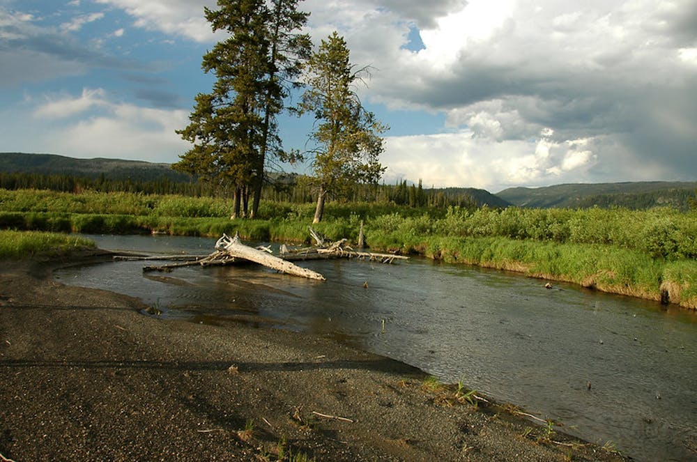
At this point in the trail, you will realize where Cascade Corner gets its name from- as you hit 30 waterfalls within a 2-mile radius of Three Rivers, including the whopping 45-ft Ragged Falls. The trail then enters Bechler canyon and follows the river through the Canyon for 6.7 miles. Along the way, you will pass Three Rivers Cabin Trail, Treasure Island, 45-ft Iris Falls, and the wonderful two-tiered Colonnade Falls. You will cross many streams and ford the Bechler River twice in this stretch of the trek. The trail eventually leaves the canyon and pulls away from the river, taking you into the pretty Bechler Meadows at the 17.2-mile mark. The trail takes you around the eastern edge of the meadow, and at 20.4 miles makes its final ford of the Bechler River at Rocky Ford. The water can be anything from knee to hip-deep, so be prepared to get wet! The trail then continues following the Bechler River, taking you past the impressive 15-ft Bechler Falls and finally ending up at the mighty Cave Falls.
Tips:
This is one of Yellowstone’s most popular backcountry hikes so you’ll need a permit, and it’s good to making camping reservations as early as possible.
Be aware that Cascade Corner is a grizzly bear hot spot, so be prepared for that! Here’s some information on how to deal with bears in Yellowstone: https://www.nps.gov/yell/planyourvisit/bearsafety.htm
Traveling through Bechler Canyon from north to south is advisable, instead of the other way around, since this way there's a 1400 foot net elevation loss.
Plan for 3 days to complete this trail.
It’s not recommended to hike this route before late July because of deep fords and hungry mosquitos.
Though the hiking route is only 26.4 miles, it's a five-hour drive! To shorten the long shuttle, one option is to end the hike at one of the trailheads on the west side of the Grassy Lake Road instead of Cave Falls. This way you’ll miss a few miles of the Bechler River, but it will make the car shuttle at the end only an hour instead of five.
Sources:
https://rootsrated.com/jackson-hole-wy/backpacking-camping/bechler-river-trail https://www.hikingproject.com/trail/7006570/bechler-river-trail
Difficult
Hiking trails where obstacles such as rocks or roots are prevalent. Some obstacles can require care to step over or around. At times, the trail can be worn and eroded. The grade of the trail is generally quite steep, and can often lead to strenuous hiking.

The trail contains some obstacles such as outcroppings and rock which could cause injury.
Away from help but easily accessed.
419 m away
An easy 2.3 mile loop taking you up close to Yellowstone’s famous hot springs and gushing geysers.
Easy Hiking
420 m away
A 10km loop taking you to the most spectacular geysers in Yellowstone.
Easy Hiking
5 routes · Hiking · Trail Running
5 routes · Hiking
5 routes · Hiking · Trail Running

63 routes · Alpine Climbing · Hiking