7.2 km away
Storm Point
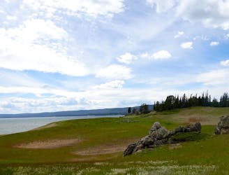
An easy, family-friendly loop, with many natural wonders and points of historical interest along the way.
Easy Hiking
- Distance
- 3.7 km
- Ascent
- 30 m
- Descent
- 30 m
A moderate but very long trek into some of the most remote wildlands in the contiguous United States, along Yellowstone Lake and the Yellowstone River.
Hiking Moderate

The Thorofare is perhaps the most remote place in the contiguous United States--farther from a road than anywhere else, at 25 miles or more. That means that a backpacking here puts you among the country’s most vast wilderness outside of Alaska, but only by putting in your dues. The 34-mile trail delivers you to the heart of this territory, then you still have to get back out. You can return the way you came or complete a point to point via South Boundary Trail west to US-89 or through Bridger-Teton National Forest south to US-26, making around trip of about 70 miles at minimum.

Nine Mile Trailhead to Yellowstone River (20.6 miles)
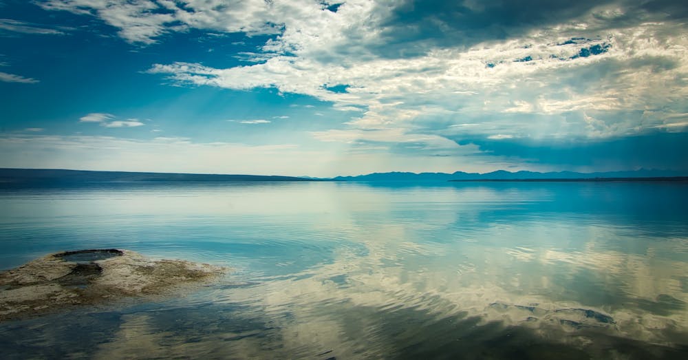
The journey begins at Nine Mile Trailhead along East Entrance Road. The first bit is through an extensively burned forest, heading south near the east shore of Yellowstone Lake on mostly flat terrain. There is a creek crossing at mile 1.3 and another at mile 2.5, but both are generally easy to navigate. Unburned forest provides shade and tranquility beginning around mile 4. Though the trail follows the lake for more than 20 miles, views over the water are limited by trees for much of the time, so take the opportunity to enjoy gaps when you reach them.
The best opportunity to camp the first night comes at mile 6.3, with three scenic sites arranged near the edge of the lake and the mouth of Meadow Creek (5E7, 5E8, and 5E9). Past this point, views really open up as the trail follows the shore more closely for the next 2 miles, until about campsite 5E6. After that it dips back into the trees with only intermittent views over the lake’s wide southeast arm. More campsites are spread out along this southern arm of the lake (5E6, 5E4, 5E3, and 5E2), offering various options for itinerary.
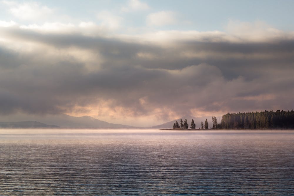
Cross Columbine Creek at mile 9.5, then continue through the forest and by a few more well-spaced campsite options (5E4, 5E3, 5E2). Around mile 15 the trail emerges into meadows and views get really good again. You can see the mouth of the Yellowstone River across the bay. At mile 17.6 is 5E1 and Beaverdam creek crossing, then 6B4 just beyond. From this point the hike is mostly through broad meadows alongside the vast marshy delta of the Yellowstone. Mountain peaks rise on the eastern horizon. Moose and other wildlife may be spotted coming to the water.
Yellowstone River to Thorofare Ranger Station (12.6 miles)
At mile 20.6 the trail meets the banks of the Yellowstone. Camps 6B1 and 6B2 are in this vicinity (6B2 requires fording the river, which may not be safe until late July or early August). The Thorofare Trail continues southward along the same side of the river, but crosses some creeks in the next few miles as it travels in and out of alternating meadows, marshy areas, burned and unburned forests. Trappers Creek (mile 23.5) and Mountain Creek (mile 26.2) may be significantly swift fords depending on the amount of runoff. 6C1, 6C2, 6C3, 6D2, and 6D1 are campsite options in this stretch to Mountain Creek. Some require a spur trail to reach scenic spots on the riverbank.
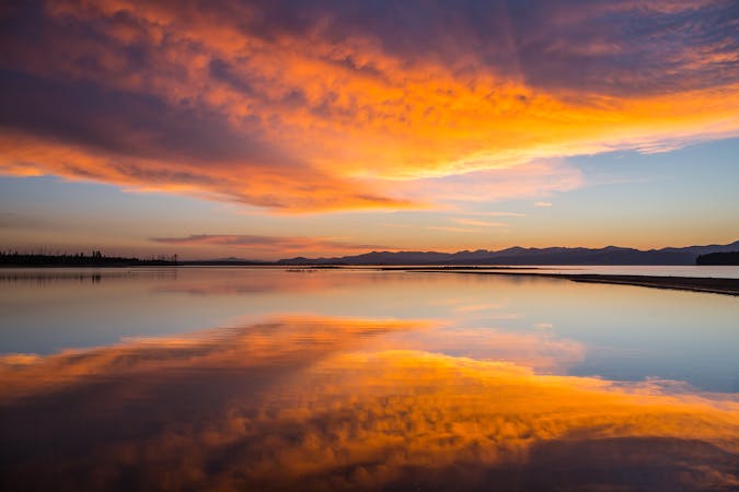
The remaining miles bring even wilder topography as mountain slopes close in on both sides of the valley, but the hiking remains relatively easy. To the east are the three prominent ridges of The Trident. The trail continues southward through meadows and groves among increasingly beautiful surroundings. Camps in this stretch are 6Y6 and 6Y5. The Thorofare Ranger station is at mile 33.2, where you can stop in to chat with the staff and tour this facility which is said to be the most remote inhabited place in the Lower 48.
From the ranger station, the Thorofare Trail continues south another 0.9 miles to link with trails in Bridger-Teton National Forest. The South Boundary Trail veers west to eventually reach Yellowstone’s south entrance. Continuing in either of these directions means more days of hiking that are significantly more strenuous than The Thorofare. The other option is to return the way you came and experience it all from the opposite direction.
Sources: https://www.backpacker.com/stories/yellowstone-national-park-the-thorofare http://www.trailguidesyellowstone.com/yellowstonehikes/thorofareandsouthboundarytrailsyellowstone.php#traildescription https://www.mnn.com/earth-matters/wilderness-resources/stories/yellowstones-thorofare-an-escape-from-civilization
Moderate
Hiking along trails with some uneven terrain and small hills. Small rocks and roots may be present.

The trail contains some obstacles such as outcroppings and rock which could cause injury.

In the high mountains or remote conditions, all individuals must be completely autonomous in every situation.
7.2 km away
An easy, family-friendly loop, with many natural wonders and points of historical interest along the way.
Easy Hiking
5 routes · Hiking · Trail Running
5 routes · Hiking · Trail Running