906 m away
Snow King Mountain Loop
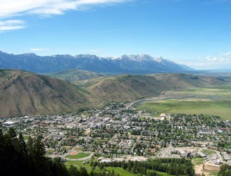
A must-do summit run to Snow King Mountain with epic views as you return along Josie's Ridge.
Moderate Trail Running
- Distance
- 8.2 km
- Ascent
- 528 m
- Descent
- 528 m
46mi bike, 2.6mi swim and a Grand Teton ascent / descent
Trail Running Difficult

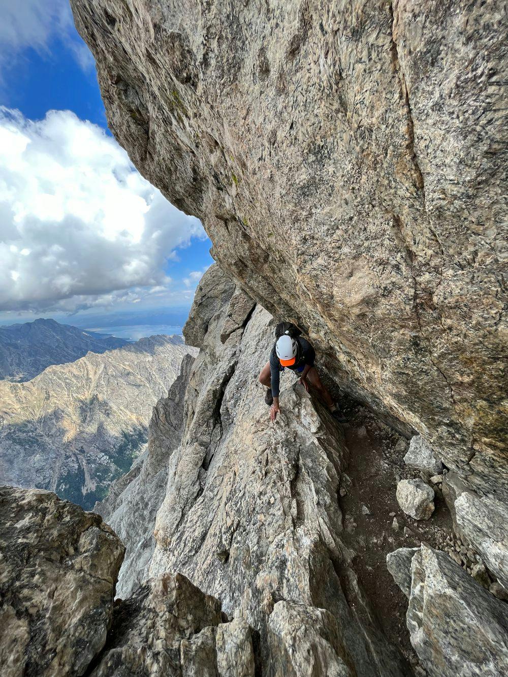
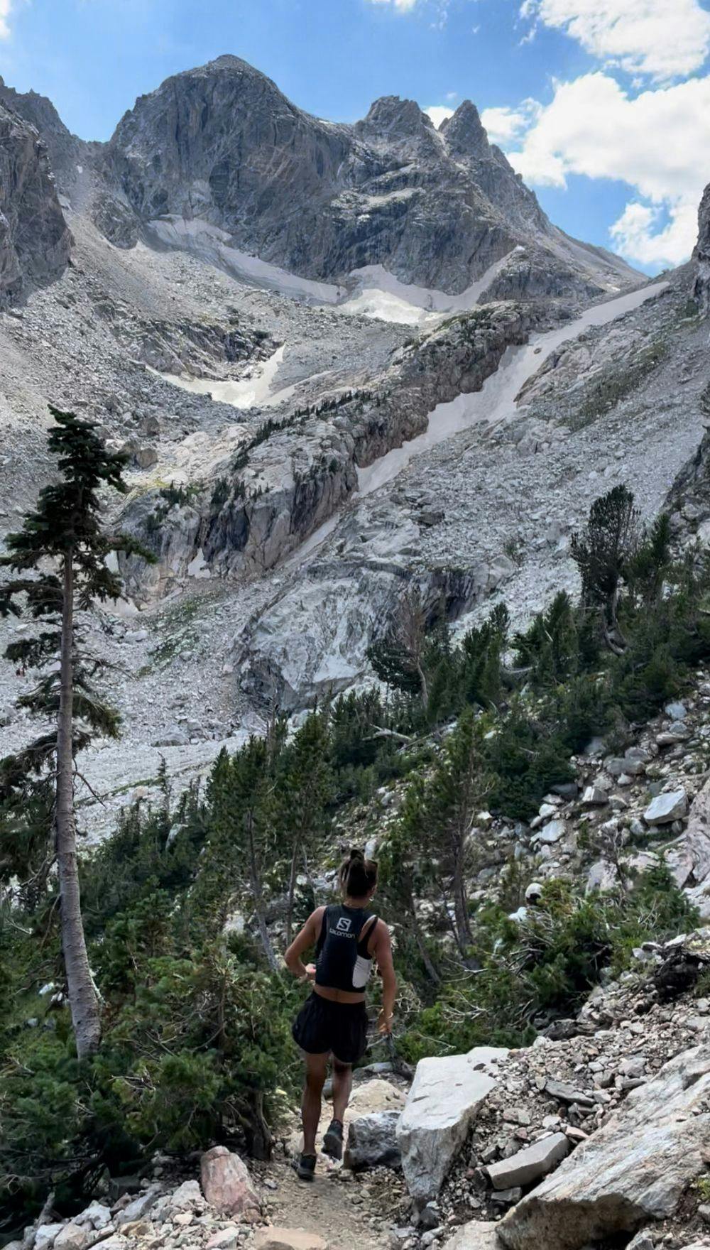
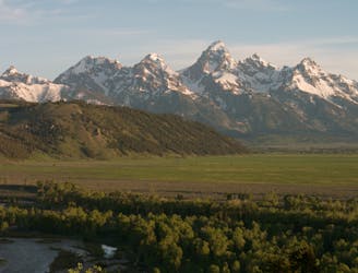
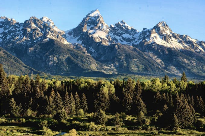
This is a popular trail running route which is generally considered to be difficult. It's remote, it features high exposure and is typically done between July and September. From a low point of 1.9 km to the maximum altitude of 4.2 km, the route covers 107 km, 2570 vertical metres of ascent and 2570 vertical metres of descent.
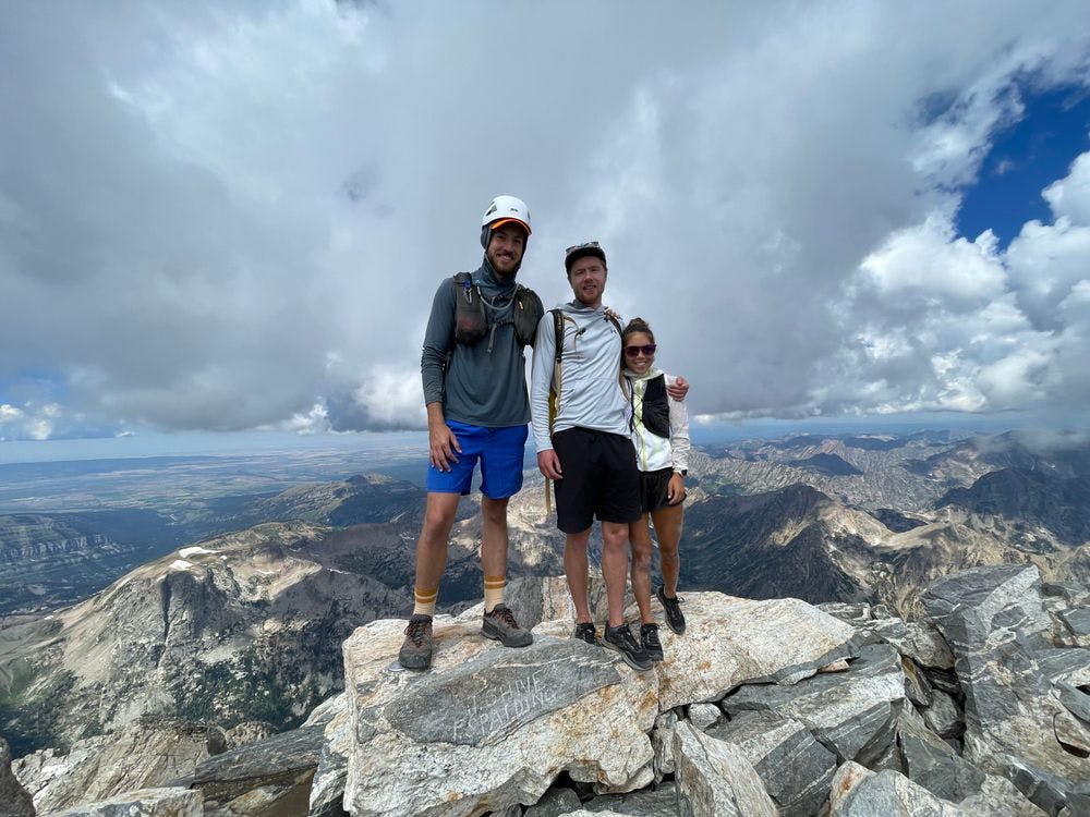

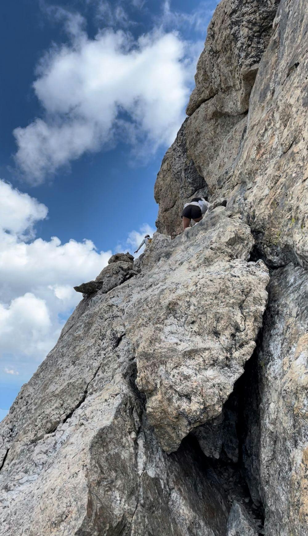
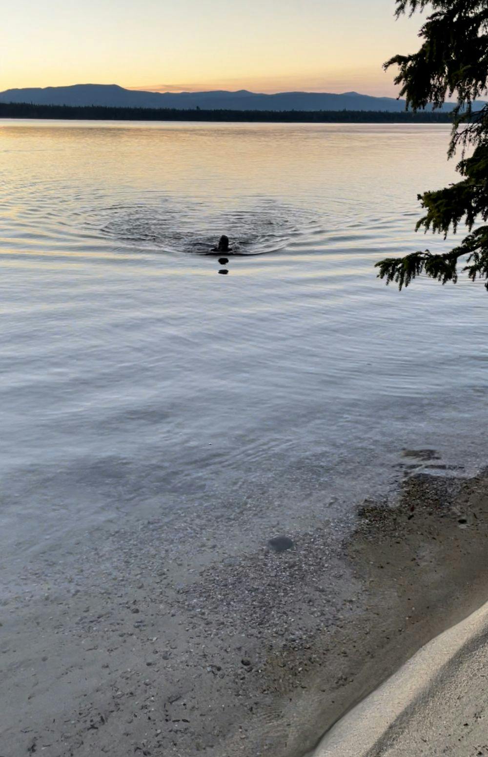

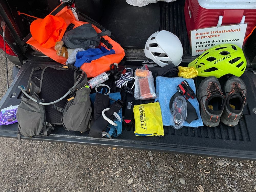
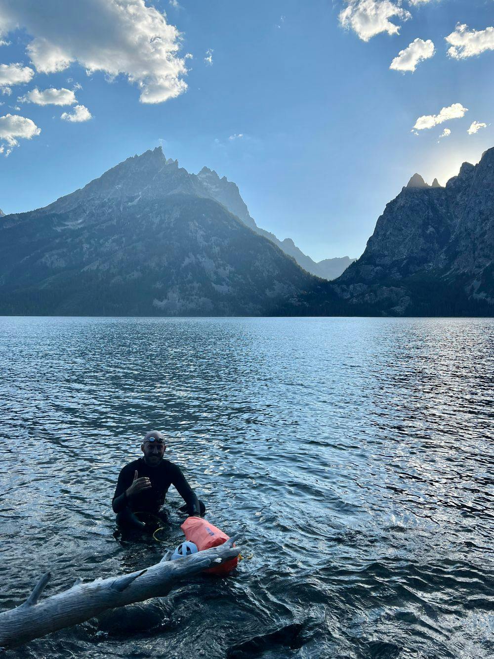
46mi bike, 2.6mi swim and a Grand Teton ascent / descent
Difficult

Some trail sections have exposed ledges or steep ascents/descents where falling could cause serious injury.

Away from help but easily accessed.
906 m away
A must-do summit run to Snow King Mountain with epic views as you return along Josie's Ridge.
Moderate Trail Running
3 km away
A quiet out-and-back run with unparalleled views of Jackson and the Teton Mountains.
Difficult Trail Running
3 km away
A staple 10k trail run just minutes from downtown Jackson.
Moderate Trail Running
3 km away
A 13+ mile trail run showcasing the Skyline Trail, one of the newest additions to the Snow King/Cache Creek trail system.
Difficult Trail Running
20 routes · Trail Running