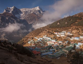
23 routes · Hiking · Ski Touring
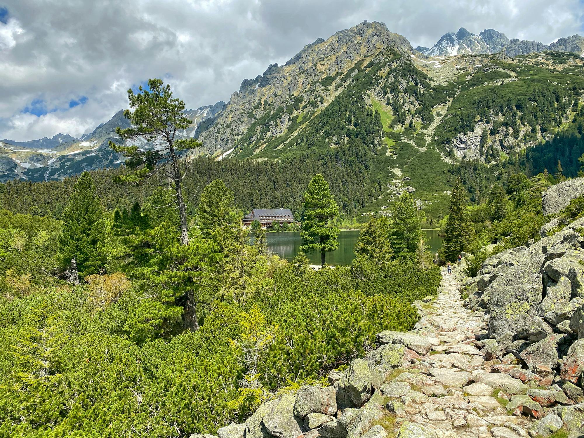
Explore Prešov with curated guides of the best hiking trails, ski routes, and more. With over 16 3D trail maps in FATMAP, you can easily discover and navigate the best trails in Prešov.
No matter what your next adventure has in store, you can find a guide on FATMAP to help you plan your next epic trip.
Get a top trail recommendation in Prešov from one of our 2 guidebooks, or get inspired by the 16 local adventures uploaded by the FATMAP community. Start exploring now!


23 routes · Hiking · Ski Touring
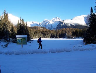
The Tatras are something of a hidden gem, and this classic route is a good example of why they should be better known!
Difficult Ski Touring
A brilliant and atmospheric line through some big mountain terrain.
Difficult Freeride Skiing
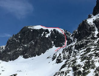
South Couloir variant
Severe Ski Touring
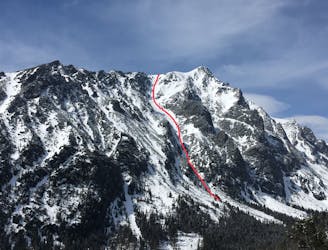
'King's Couloir' on East face of Slavkovsky Stit
Severe Ski Touring
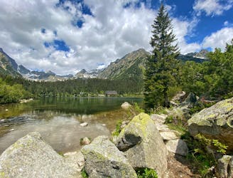
Leichte und aussichtsreiche Tour mit Einkehrmöglichkeit in einer Berghütte am Popradske pleso
Moderate Hiking
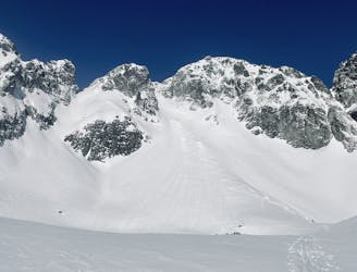
skialp cez chatu a dve sedlá
Moderate Ski Touring

Requires permit to protected area
Difficult Hiking

Ski touring na chatu Popradské pleso
Easy Ski Touring
10 routes · Freeride Skiing

50 routes · Freeride Skiing · Ski Touring